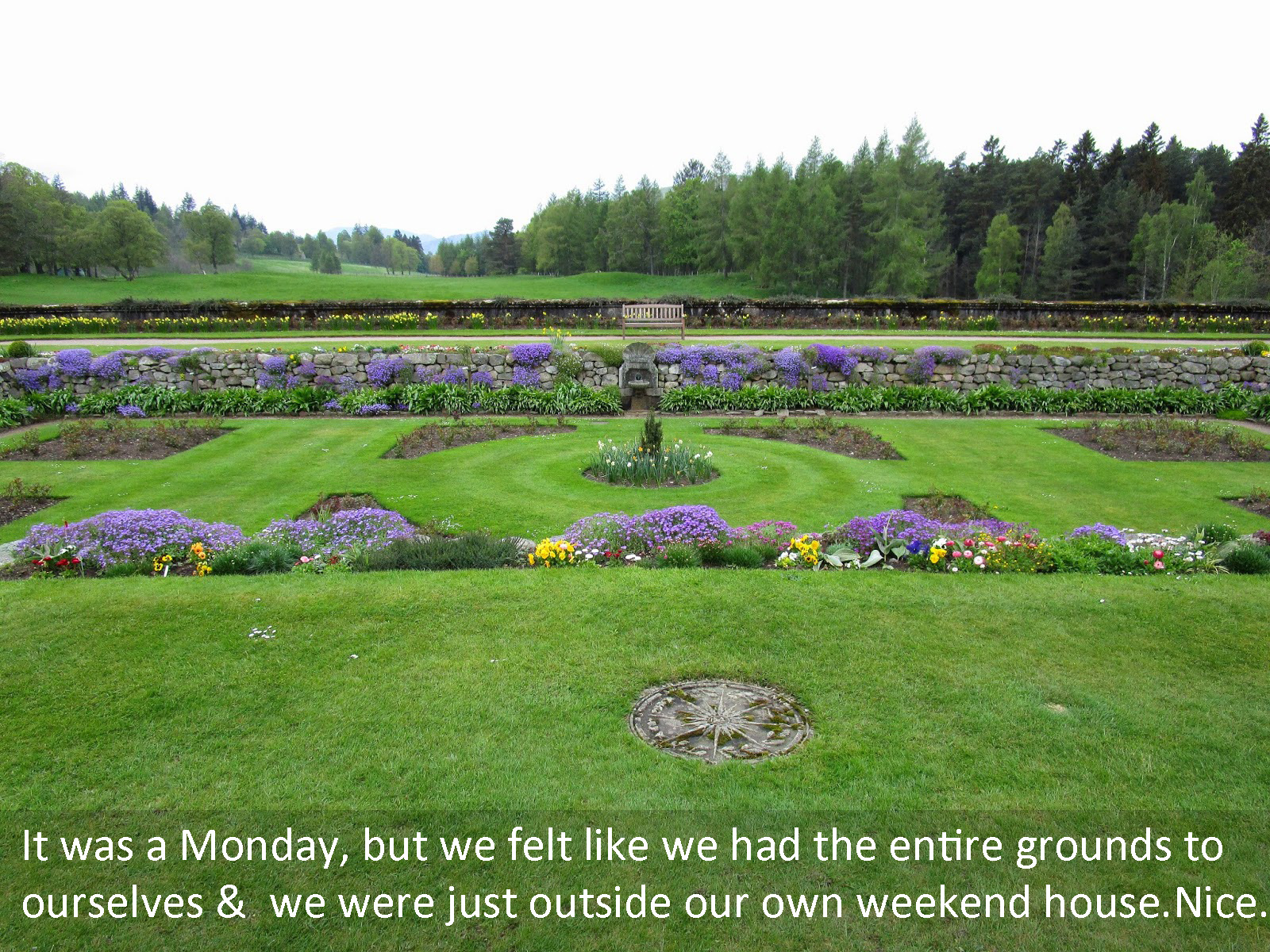
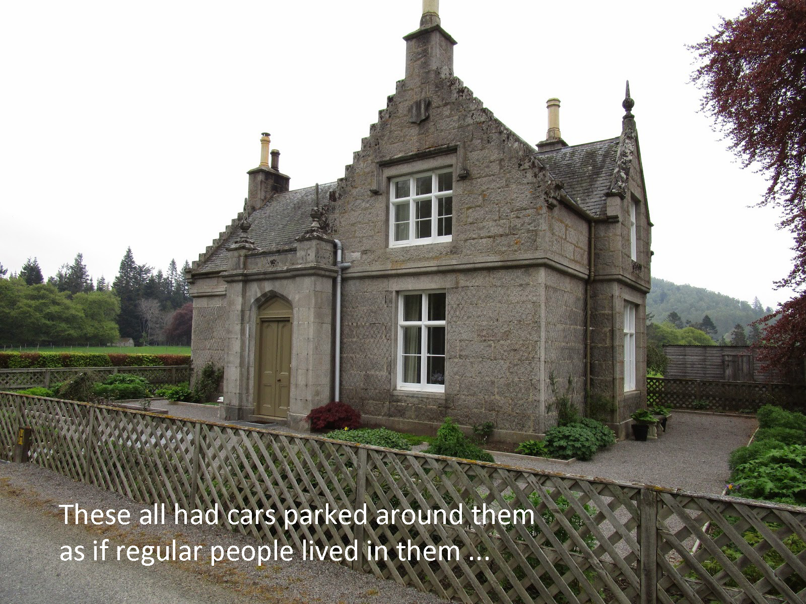
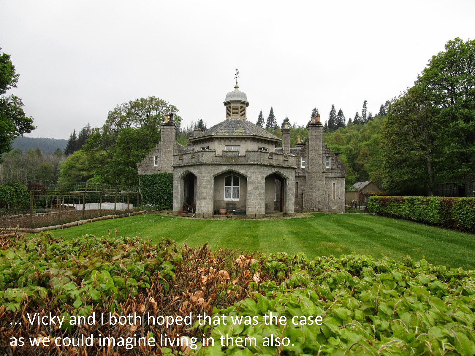
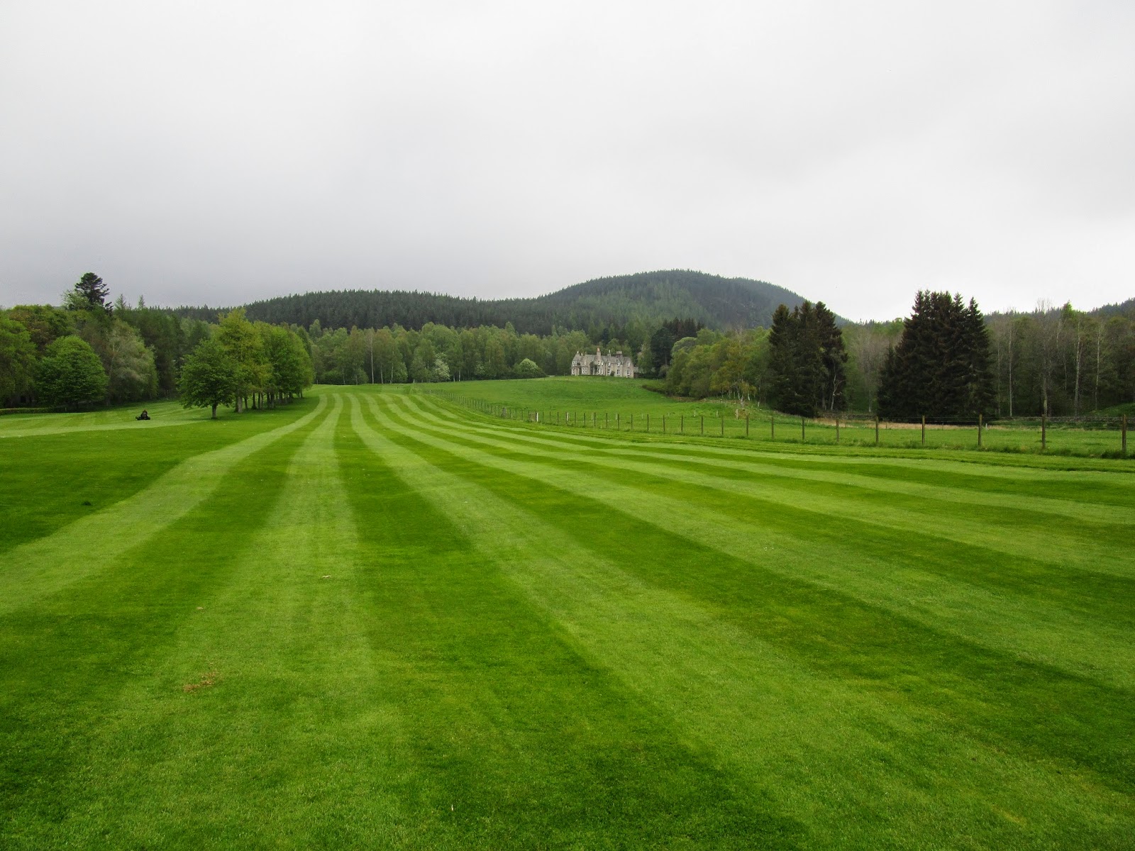
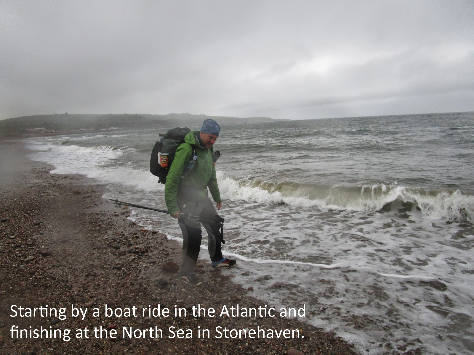
Craig & Vicky Gulley’s journey across Scotland in 2014

Day 1 – Mallaig to Sourlies Bothy
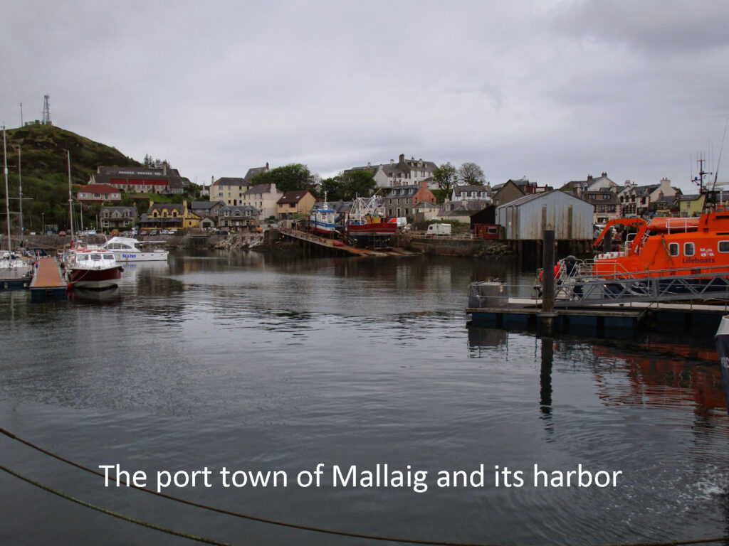
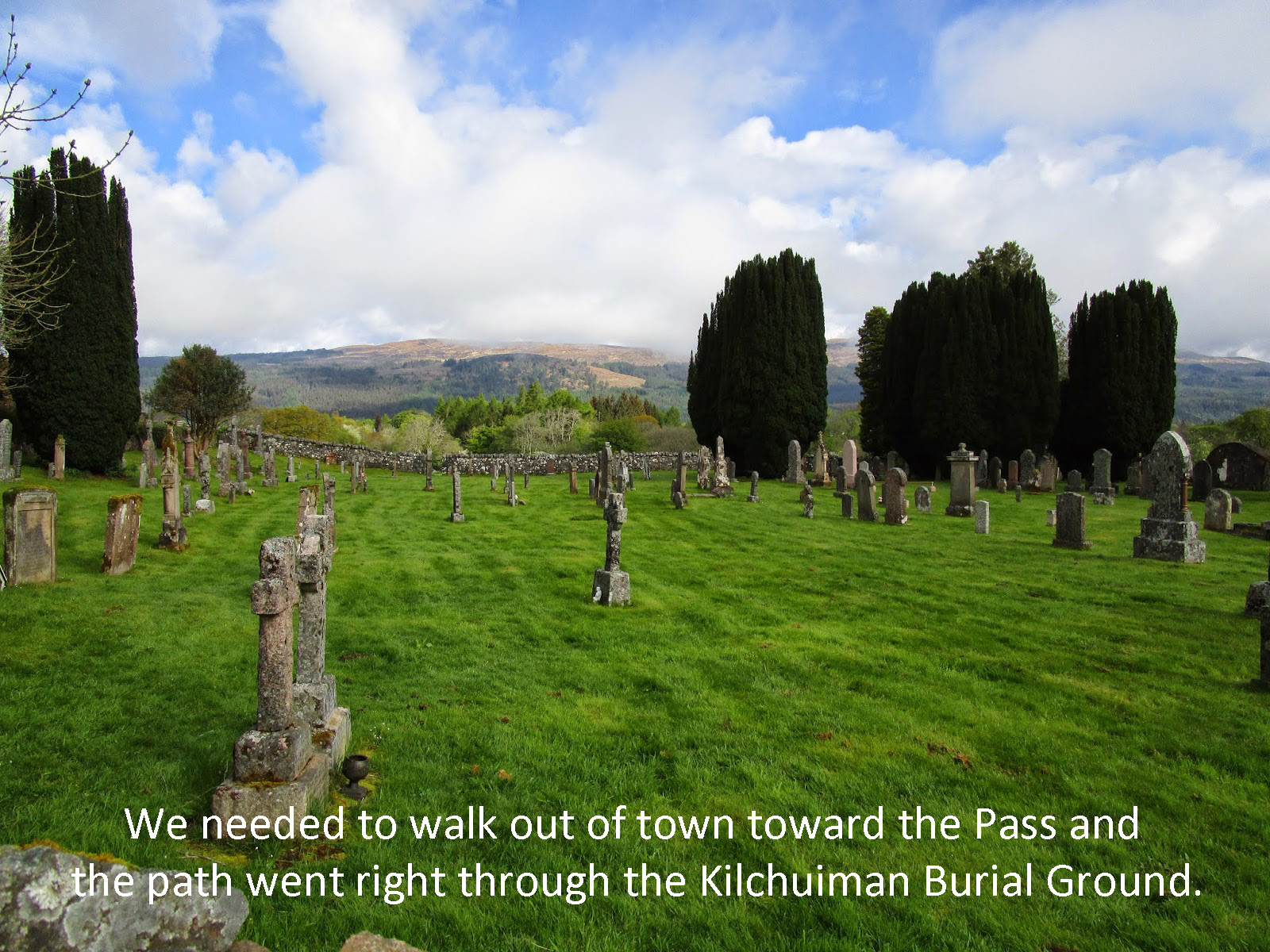
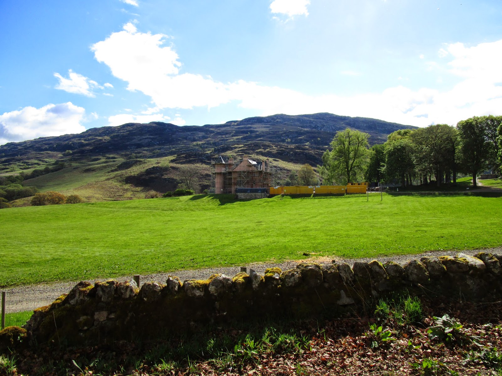
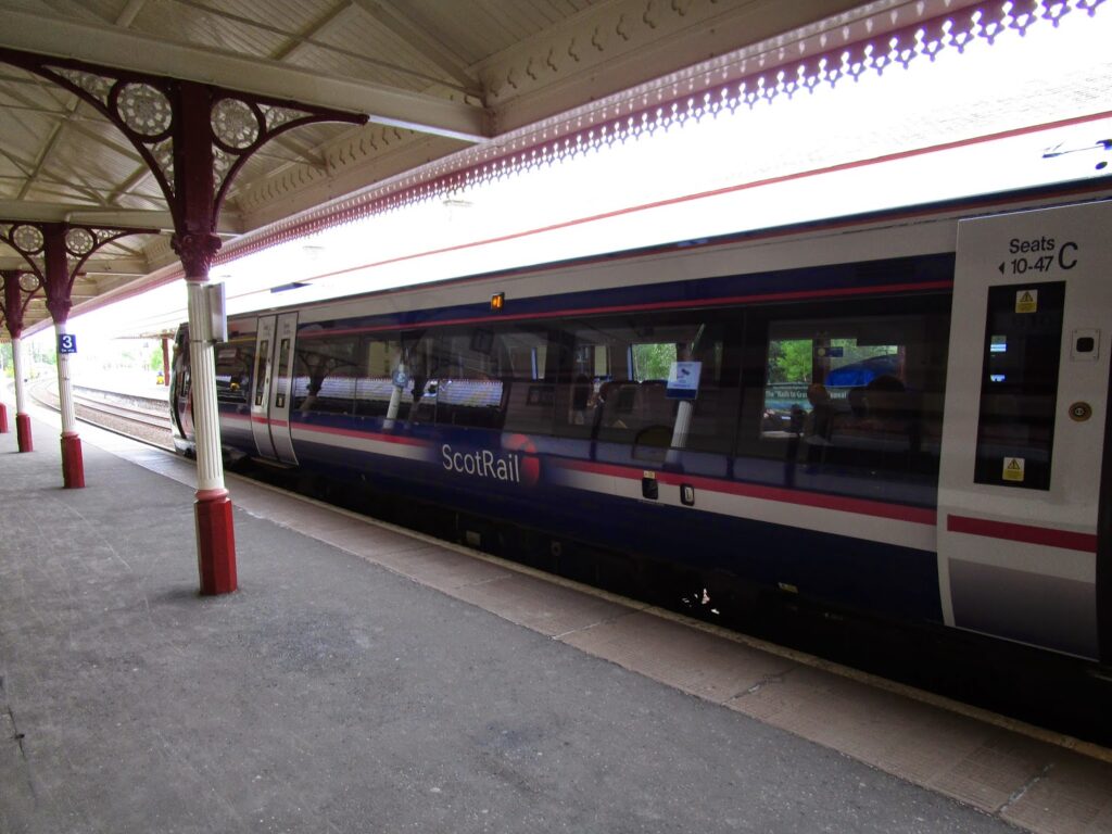
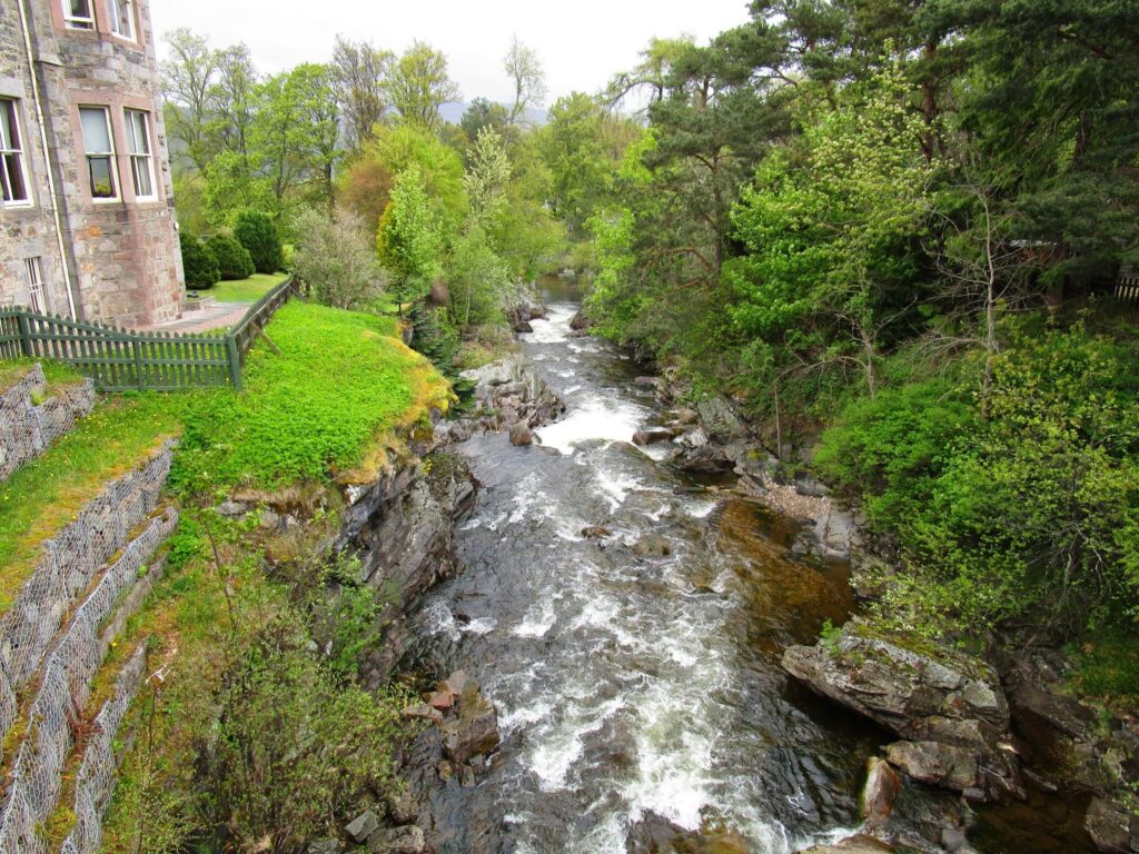
Our starting point was Mallaig. It is an enchanting sea side town on the west coast of Scotland on the Atlantic Ocean, at the end of the rail line from Glasgow. It takes about 5 hours to reach Mallaig by train and the scenery was fantastic including traveling over the “Harry Potter Bridge” the one used in Chamber of Secrets in which Harry and Ron follow the Hogwarts Express, in the invisible car, along the viaduct rail bridge.
Mallaig lies within ferry distance from the Isle of Skye and the other lesser islands and the weather was very good for us to see clearly the island and the rugged peaks on Skye.
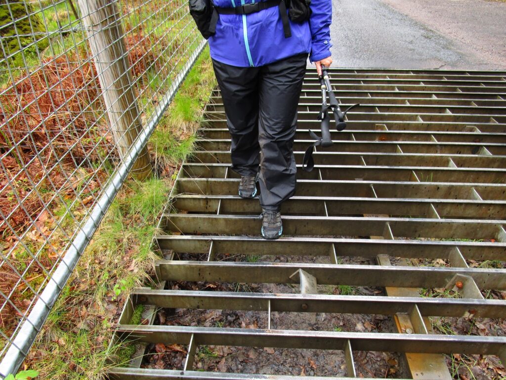
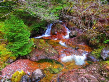
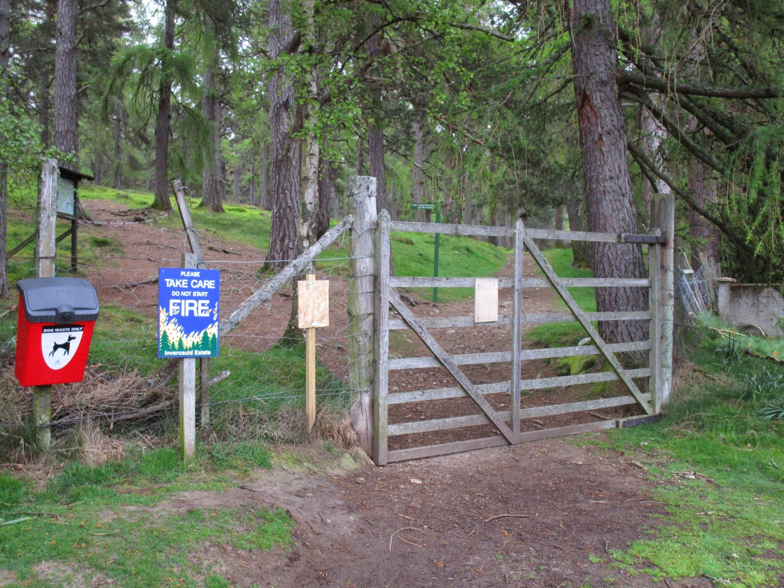
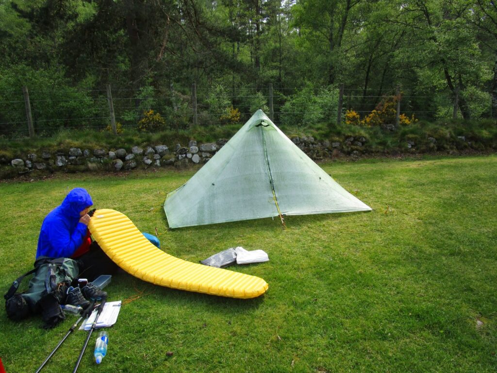
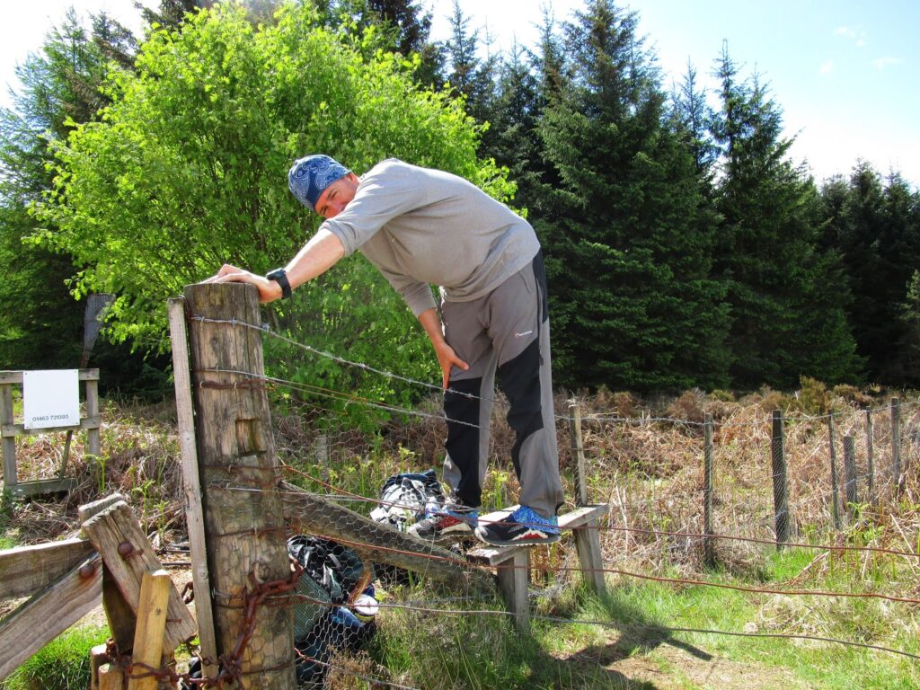
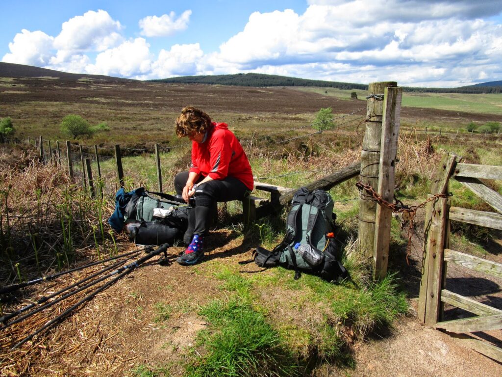
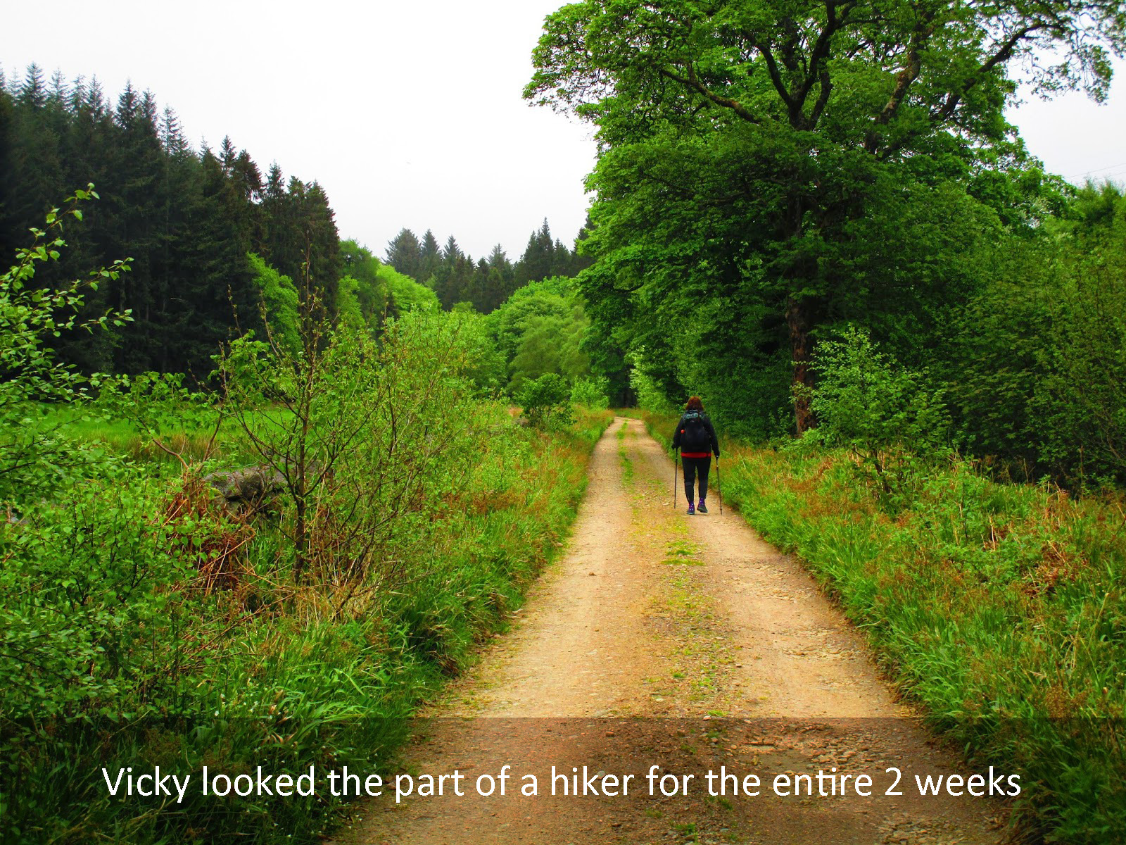
Our illustrated journey begins with the slide show below. Tap or click the center image to view the show with larger pictures. Landscape best if viewing on a phone.
At the end of the show just click the X to close it and continue


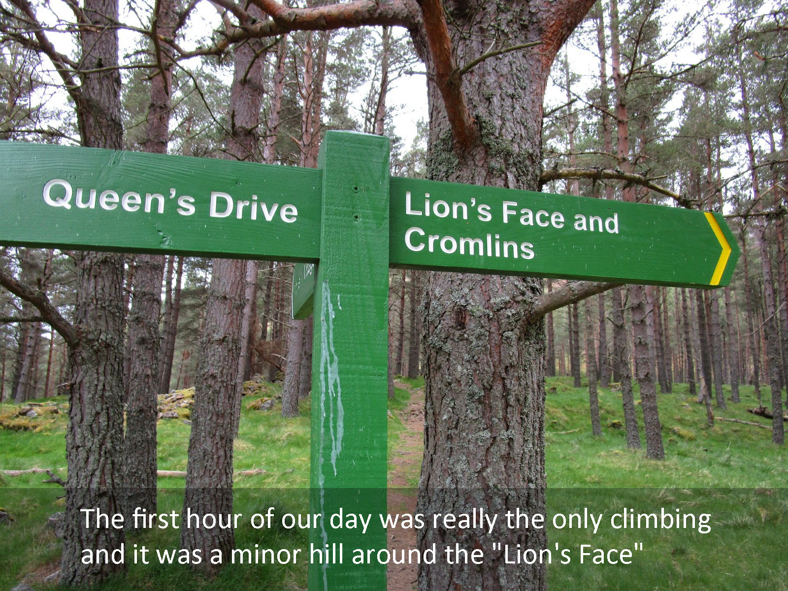
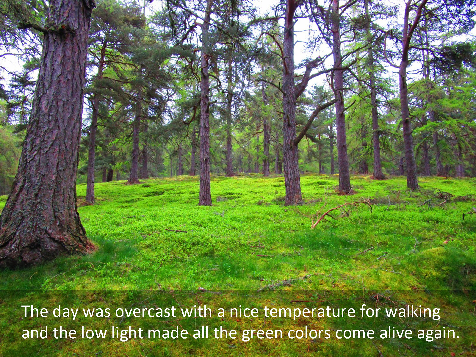
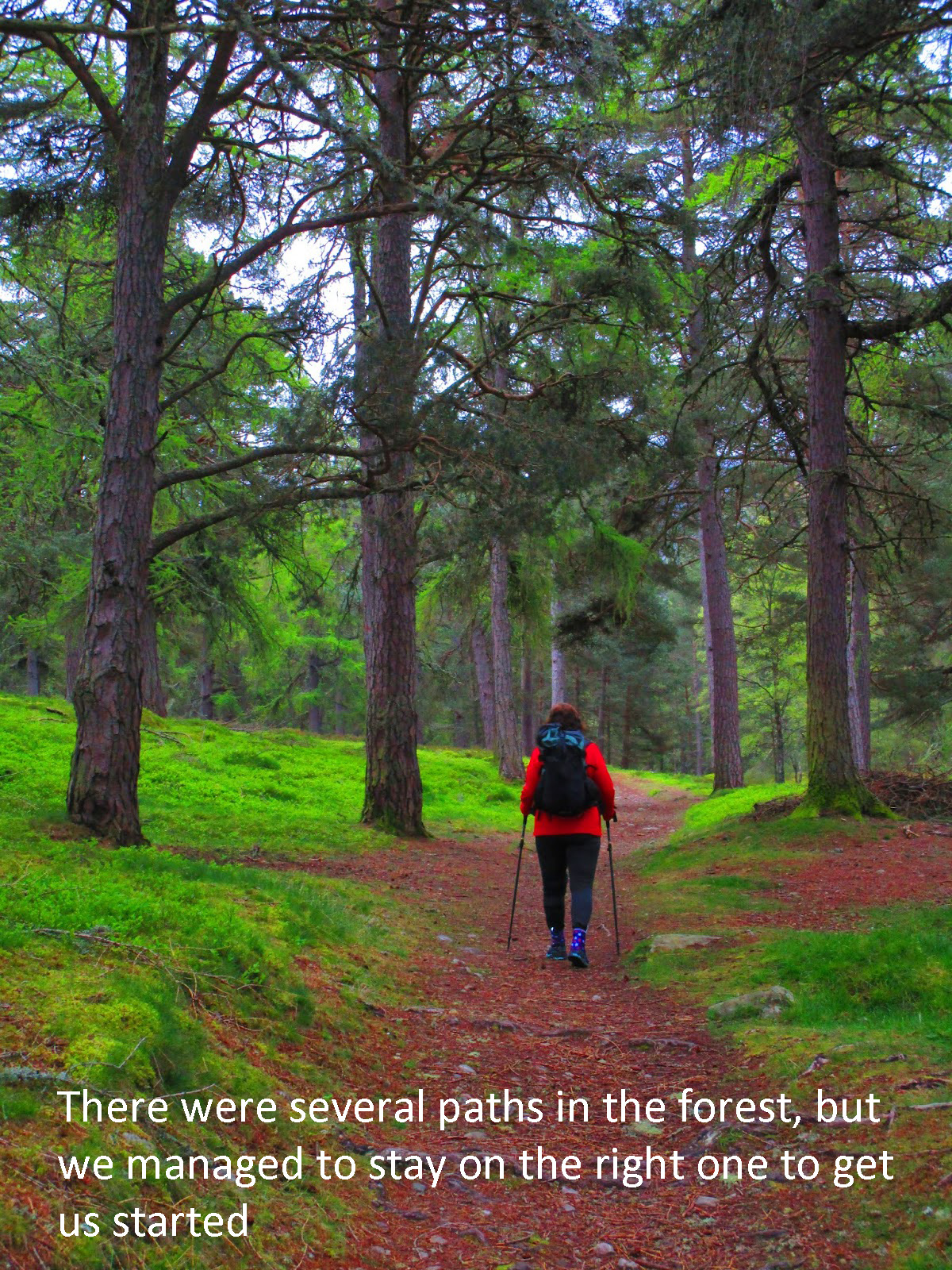
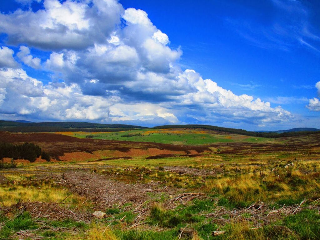
Day 1 10 miles walked, 7 hours. 1778 feet of total elevation gain.
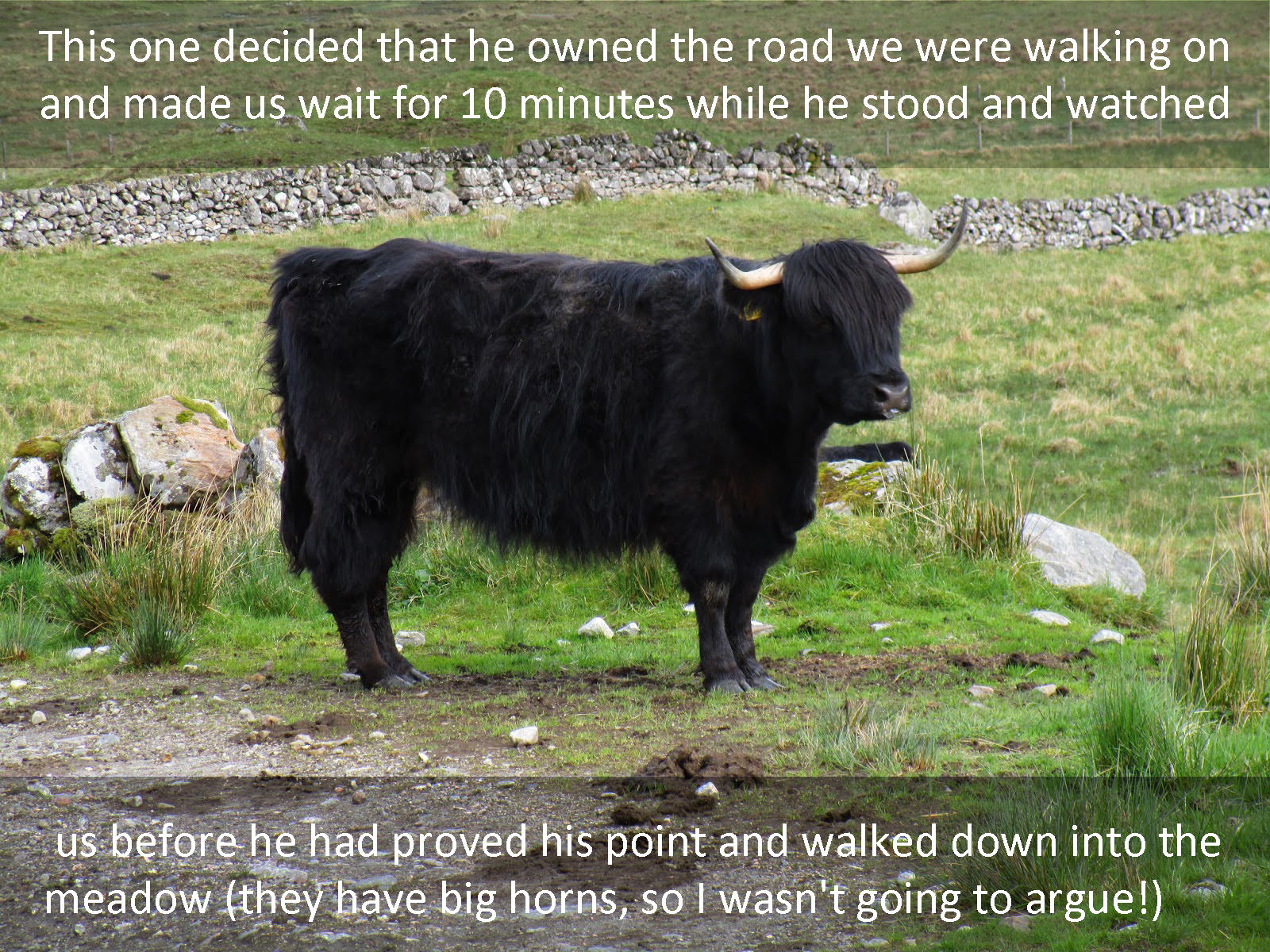
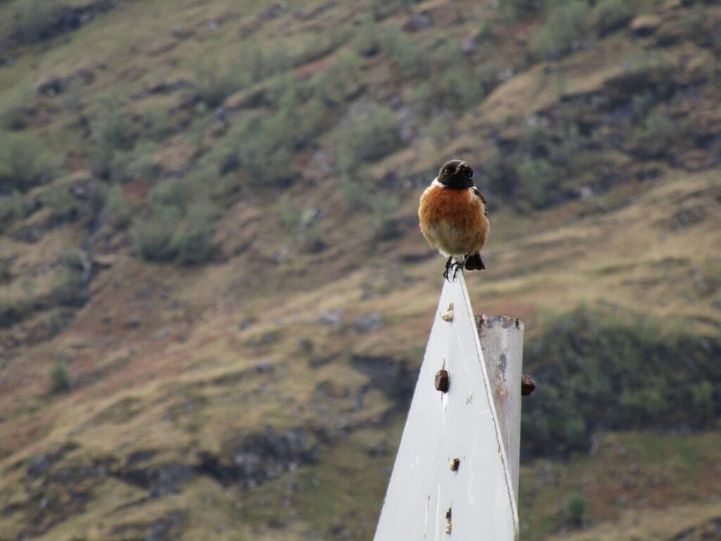
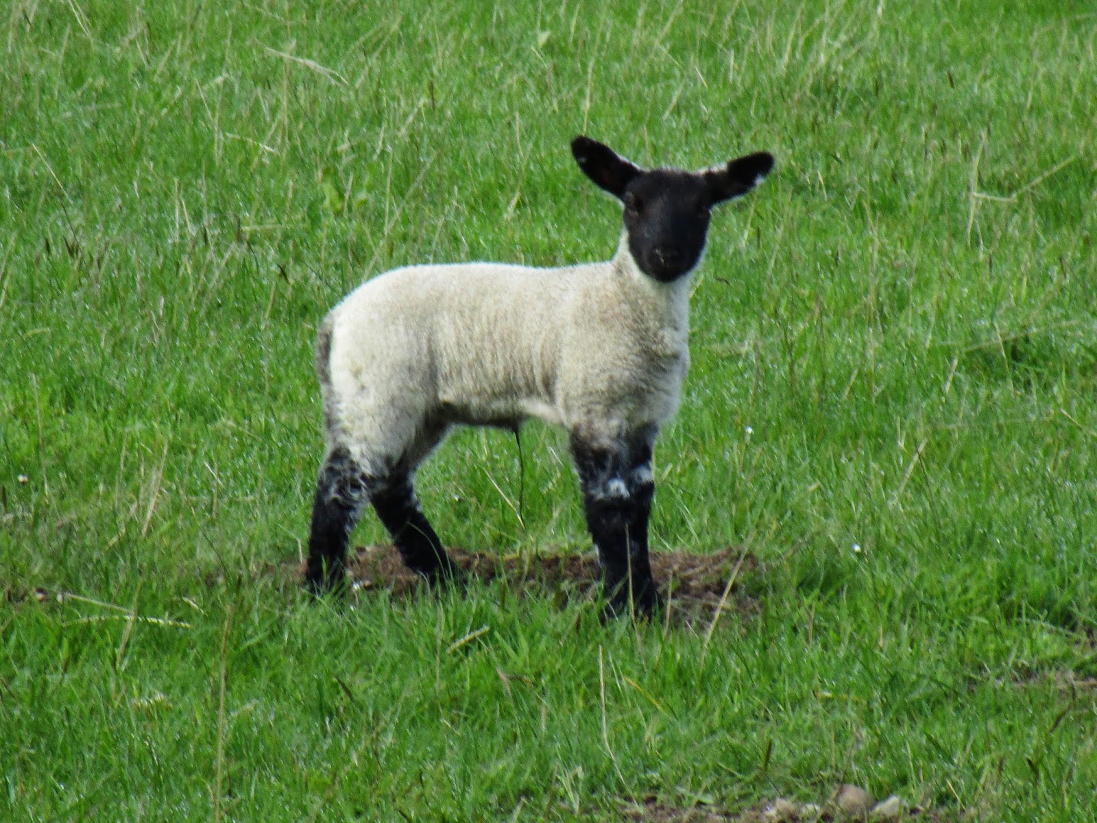
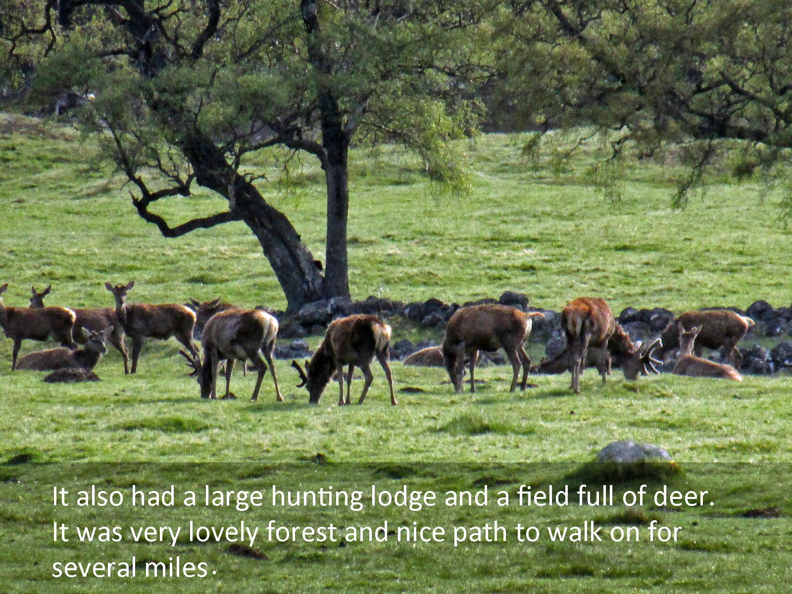
Animals encountered: Sheep, Deer and Challengers
Day 2 – Sourlies Bothy to Glendessary
I thought it would take longer for my wife to really wonder what she got herself in for on this trip and if her husband had any idea of what he was doing. I was hoping that would come on day 5 or later, but it didn’t!
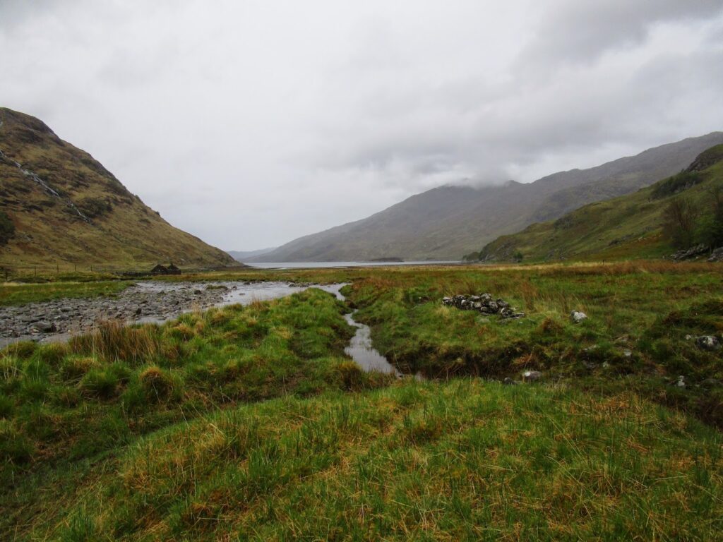
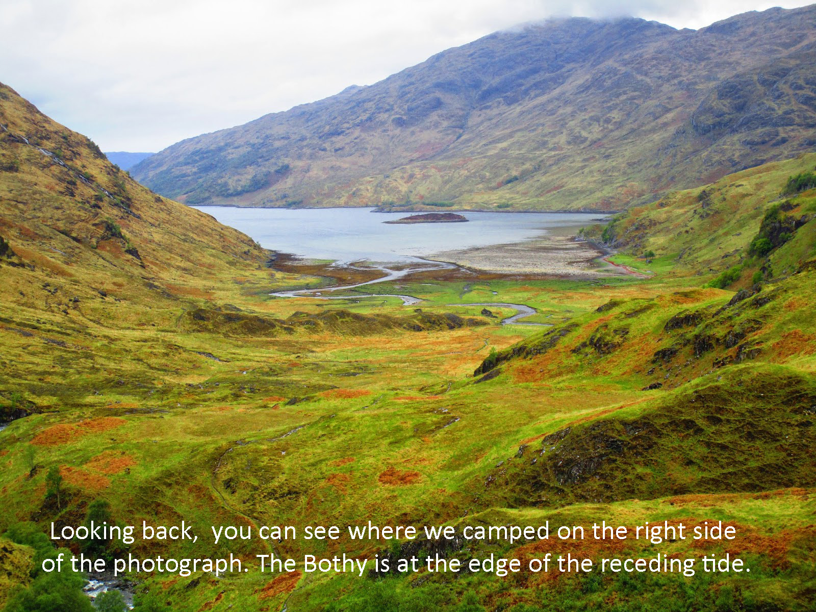
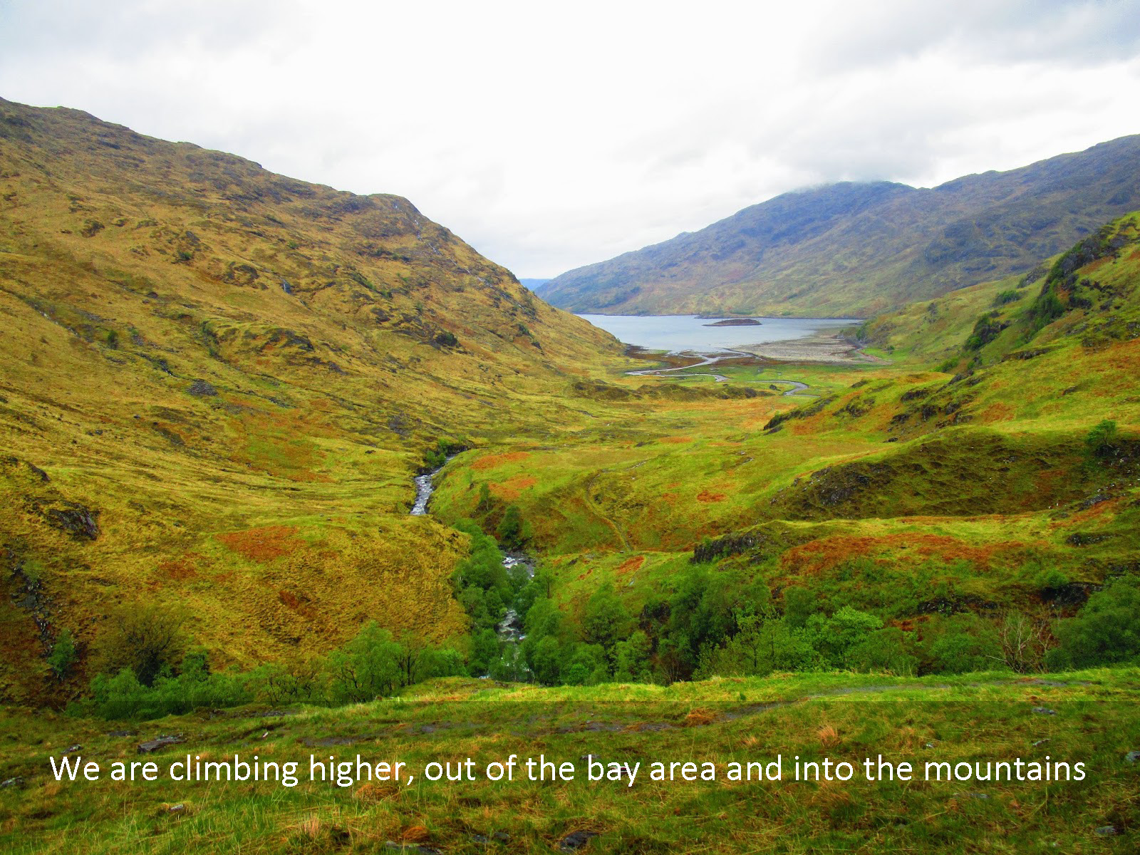
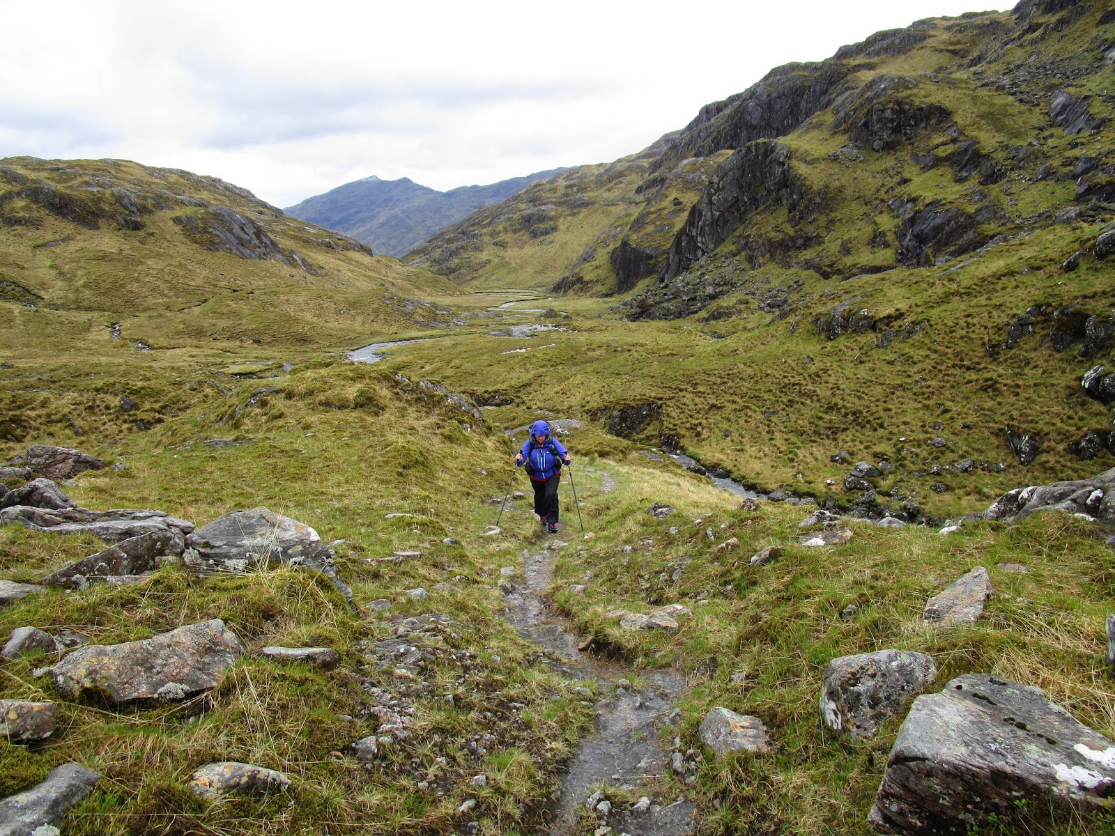
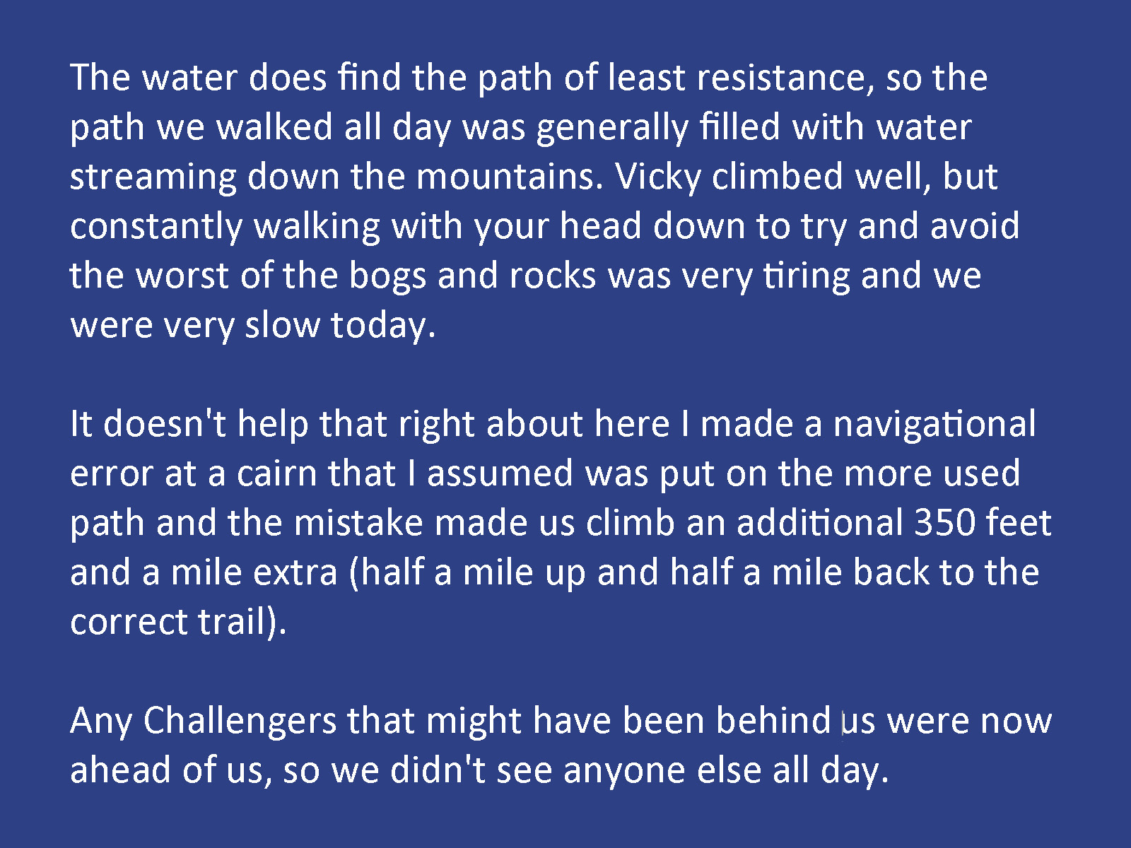
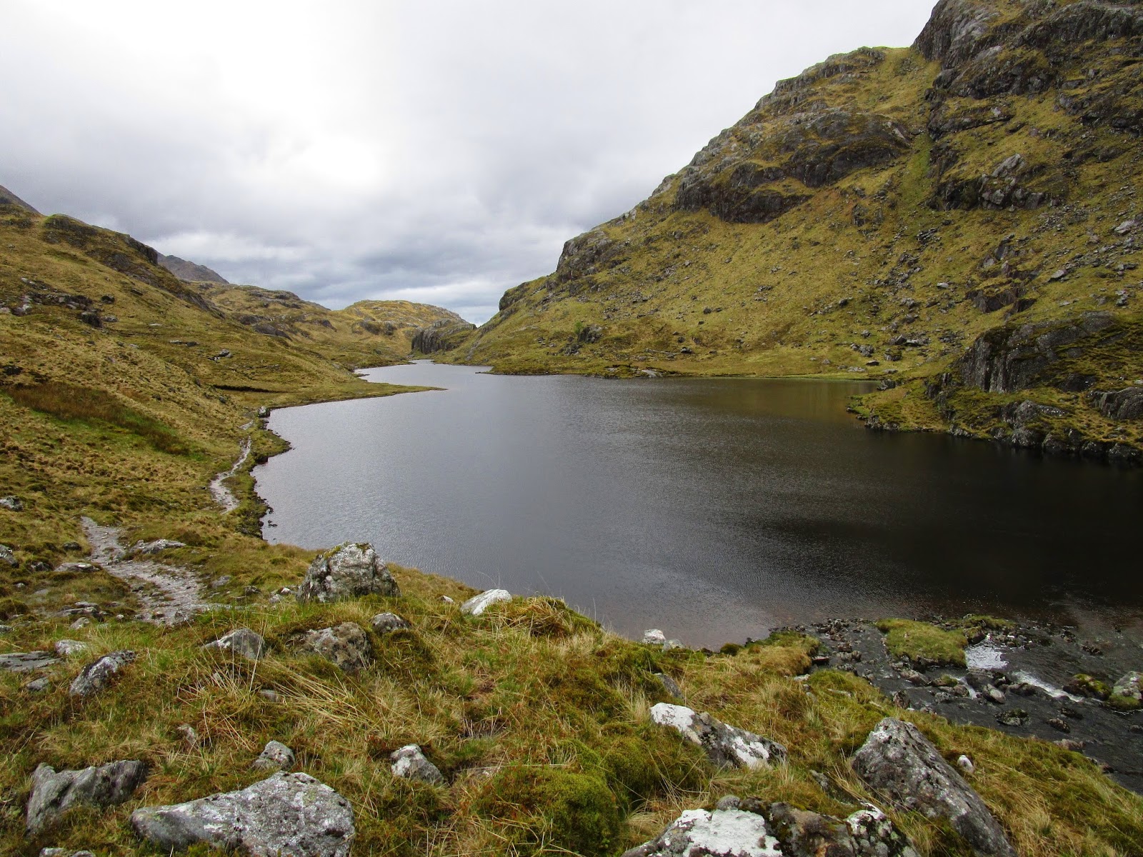
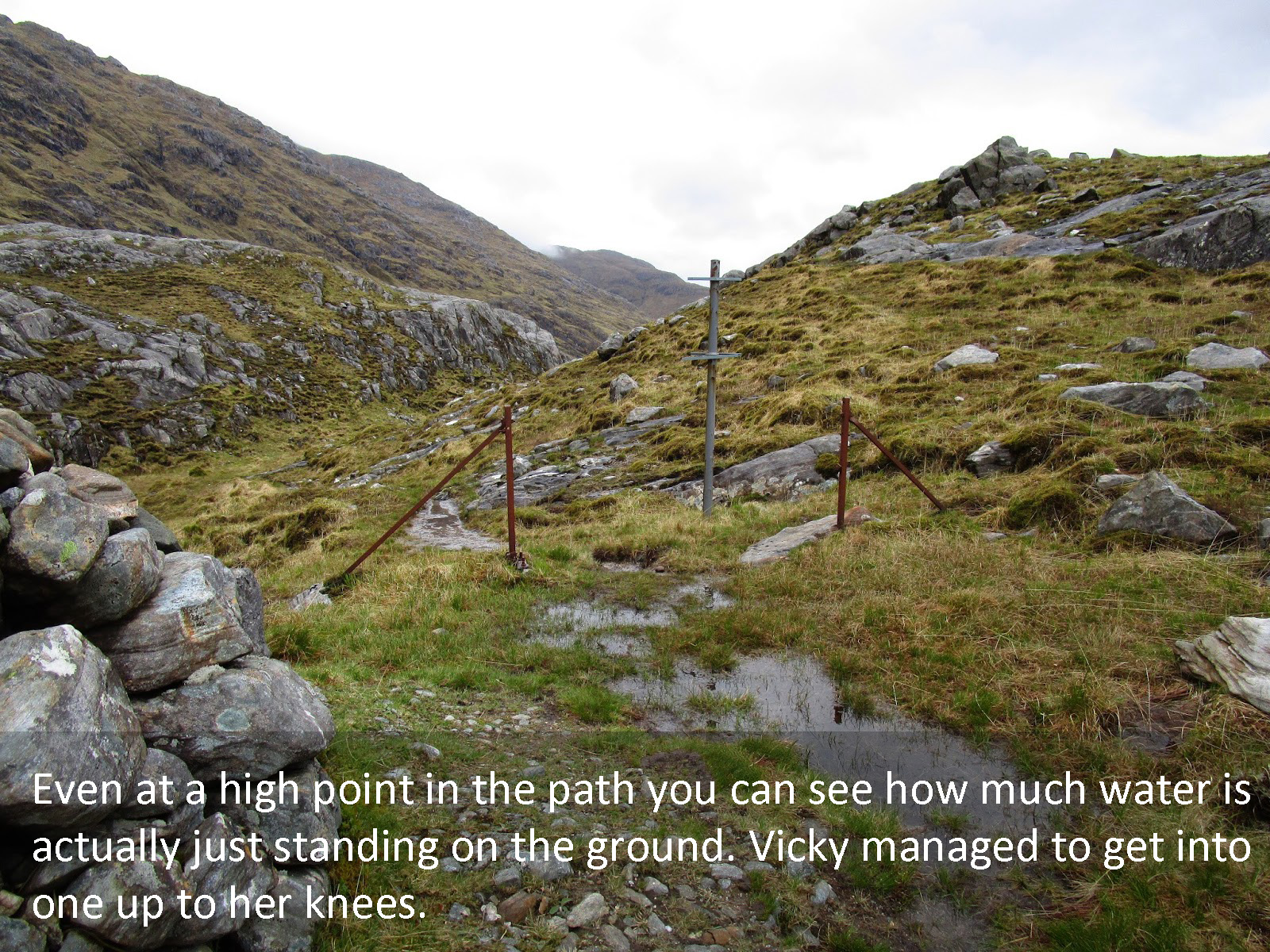
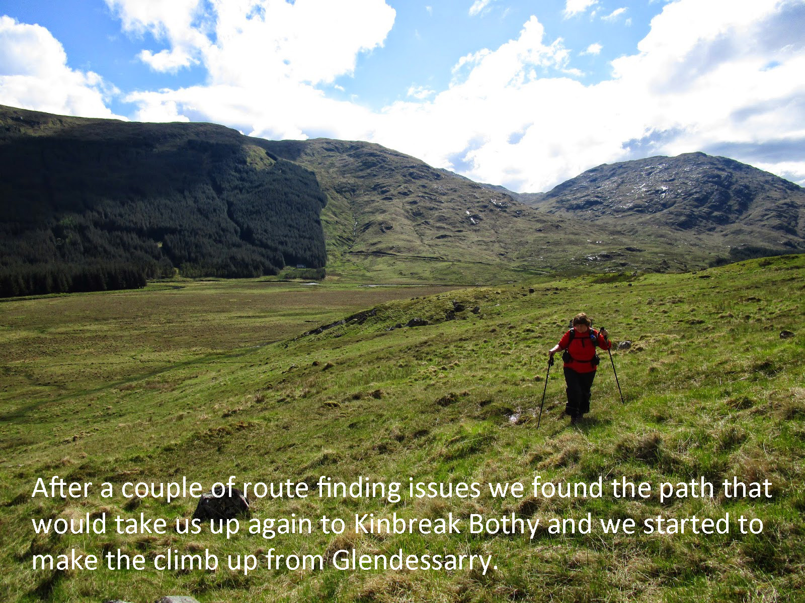
Today on day two, we had our toughest day and, to be honest, hiking conditions I have never encountered before. We slept well with just a little rain overnight and woke up ready to go again. I knew we had two decent climbs today, one out of the Sourlies bothy area which is just 14′ above sea level and then again at the end of the day going up to our proposed campsite at Kinbreak Bothy.
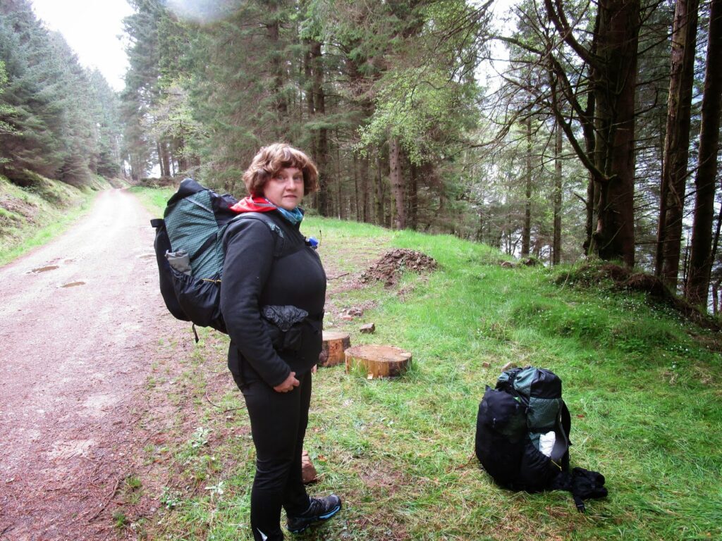
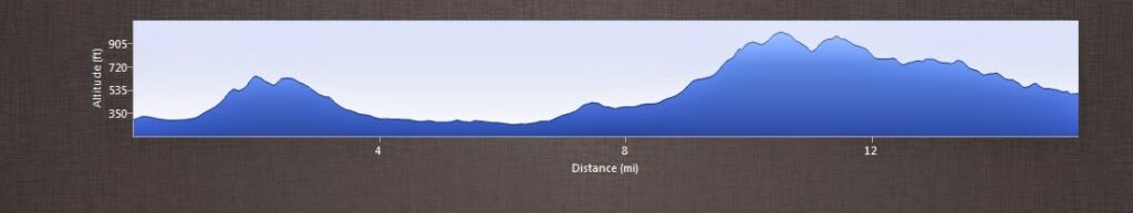
Packing up and leaving the Bothy was easy and fun and both Vicky and I were ready for the day. We even got one of our Challenger friends to snap a picture of us together before departing.
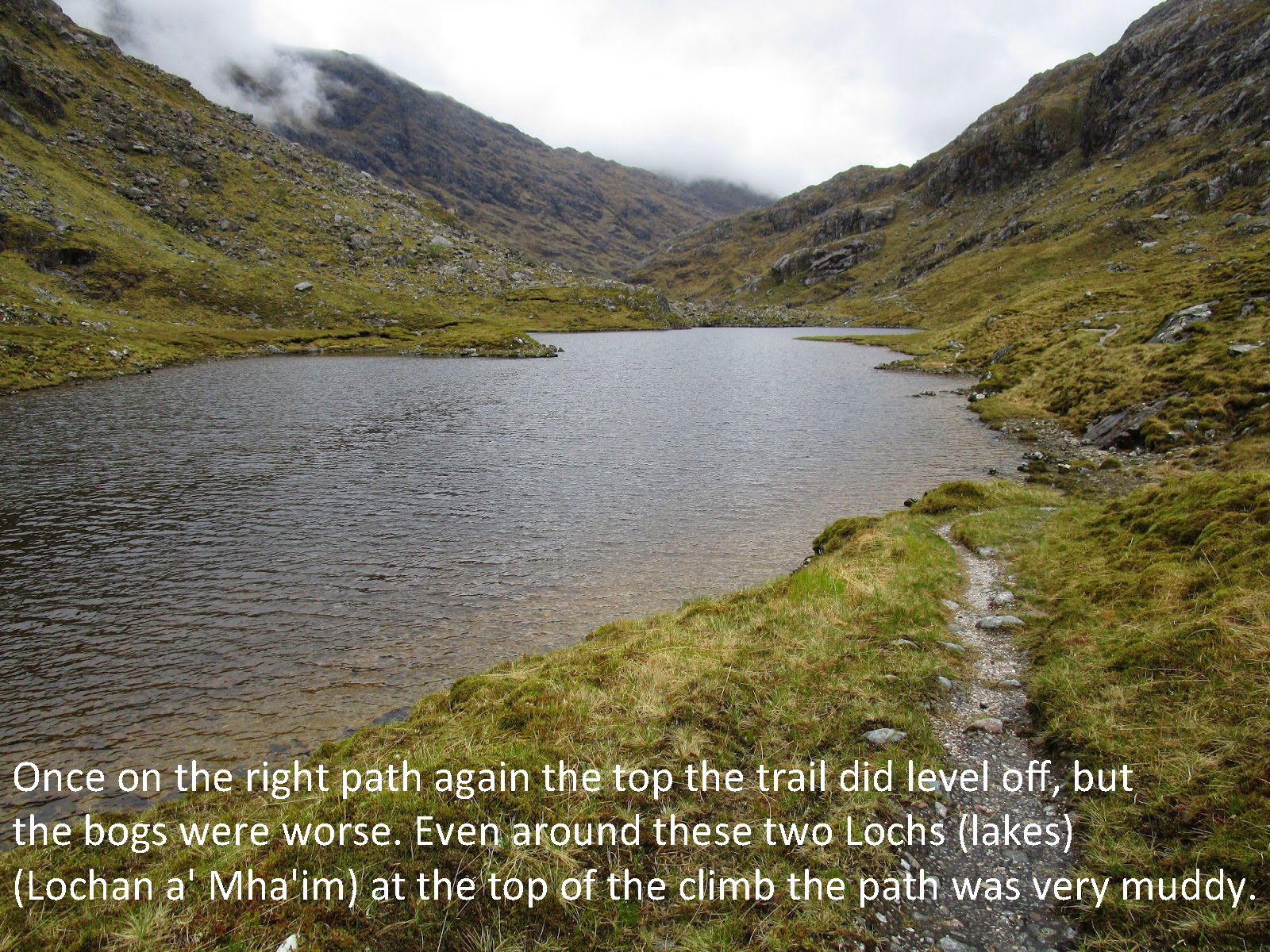
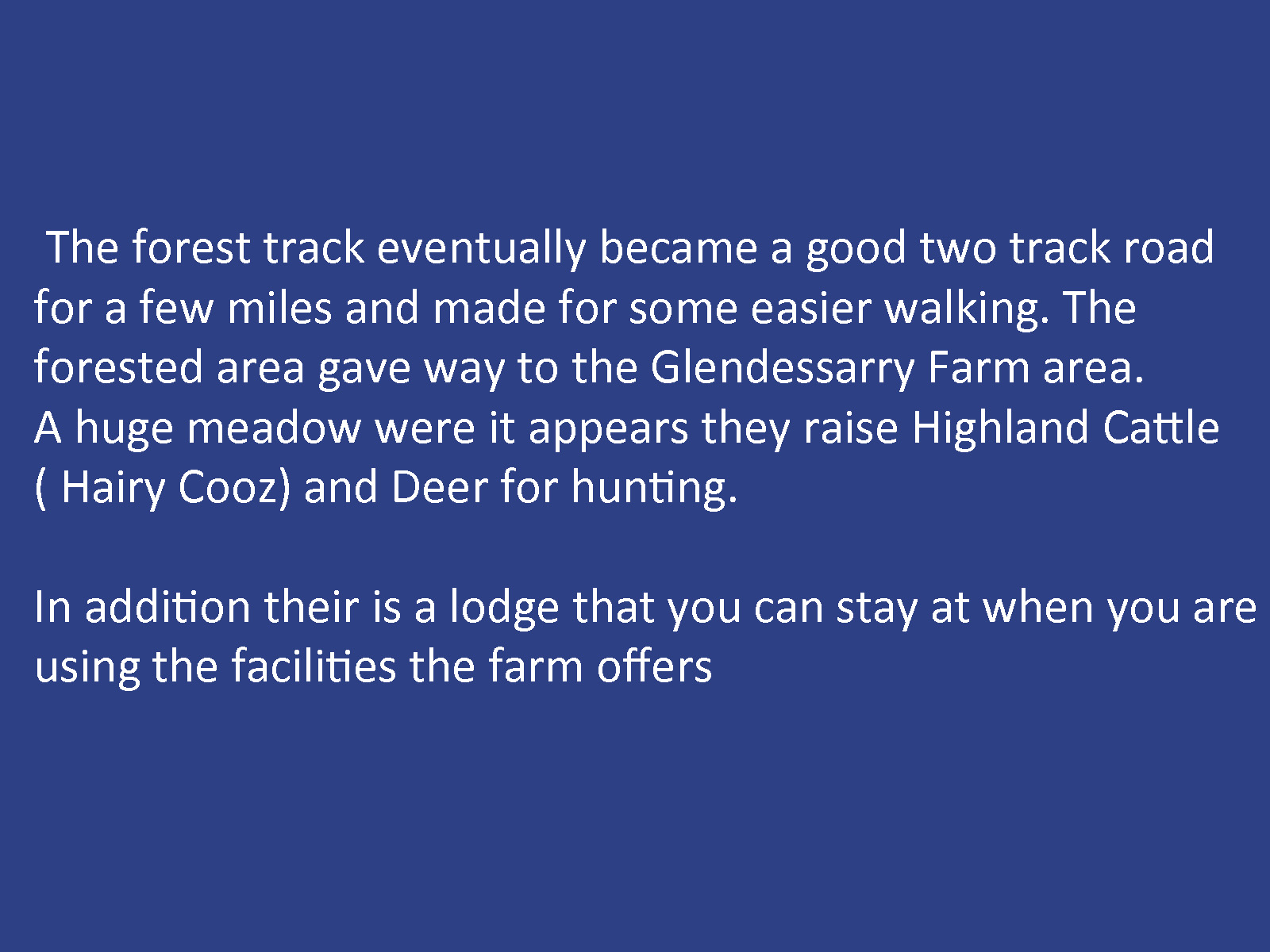
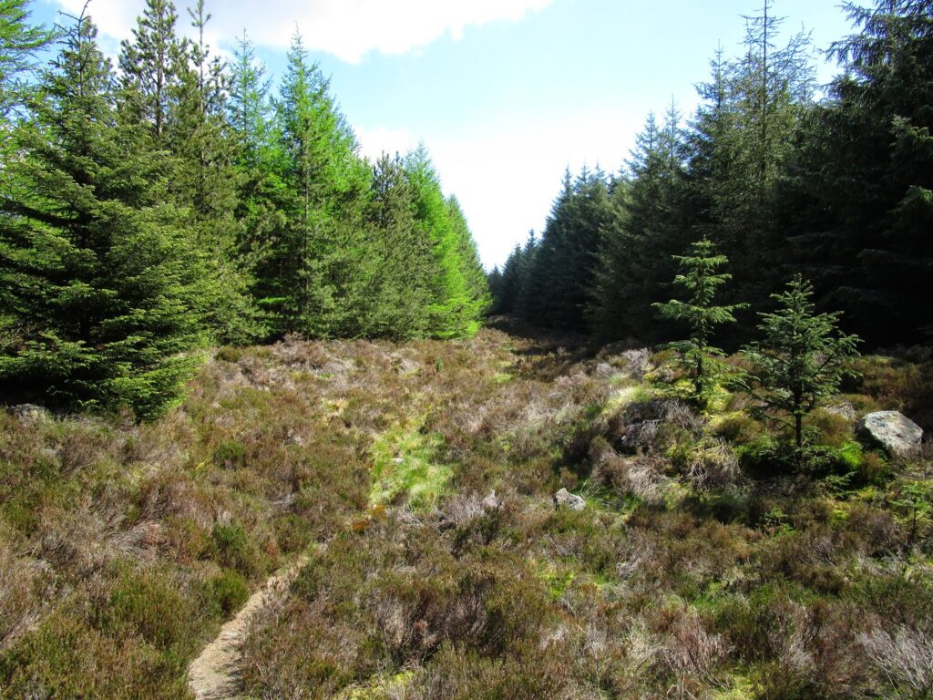
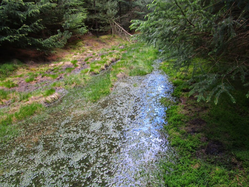
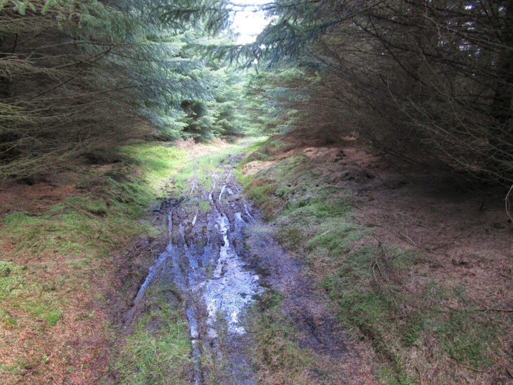
Leaving the Bothy site we immediately get back into more bogs! This sets the tone for the day as the going is very slow for us trying to pick the best way through the bogs and not sink to our knees or more in the soft ground.
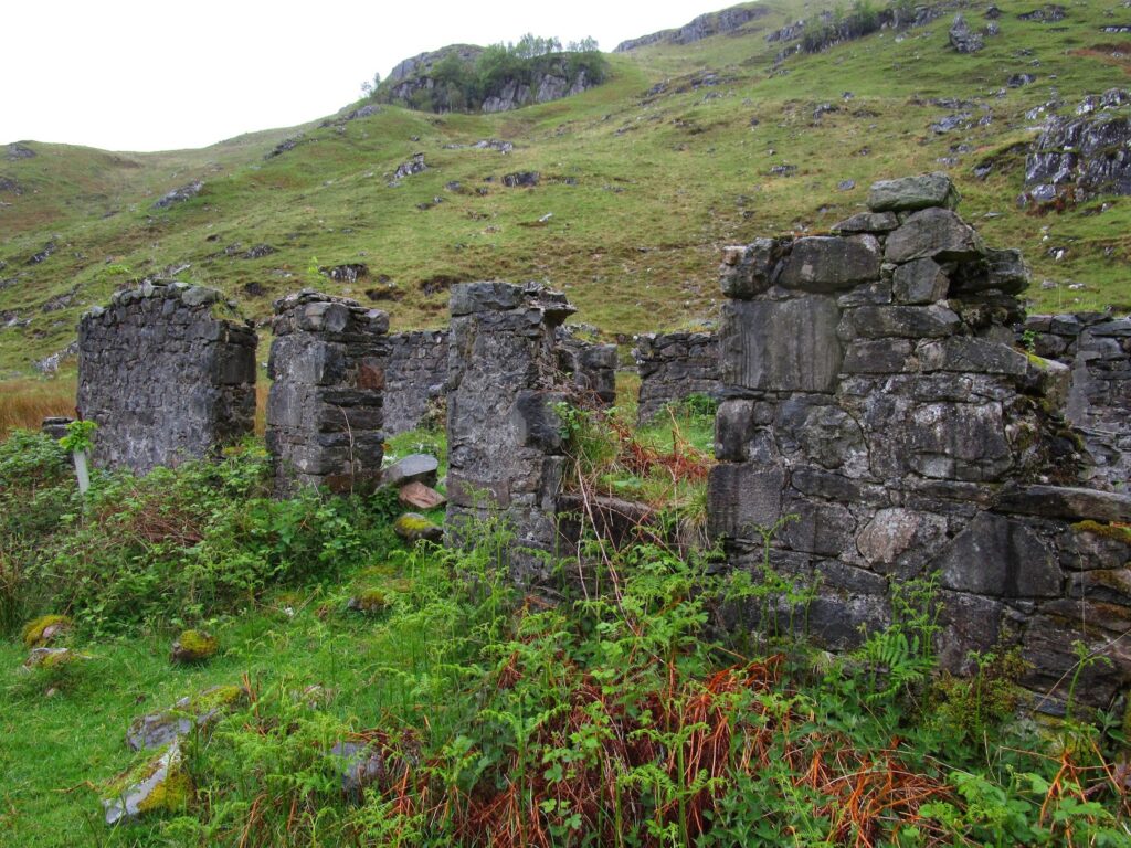
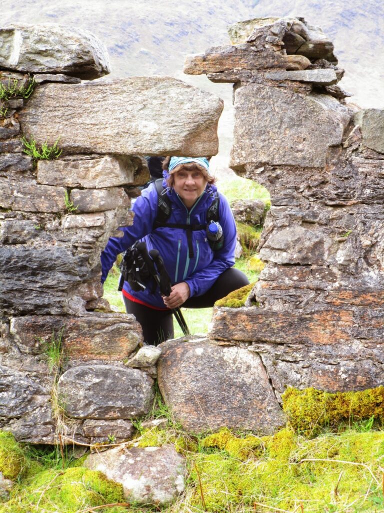
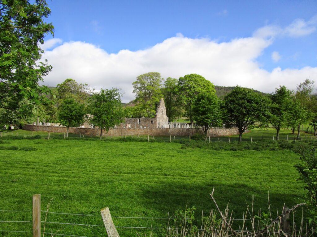
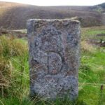
There are more ruins at the end of the bay before you start to climb higher at the end of the bay area. These were farms or outposts hundreds of years ago
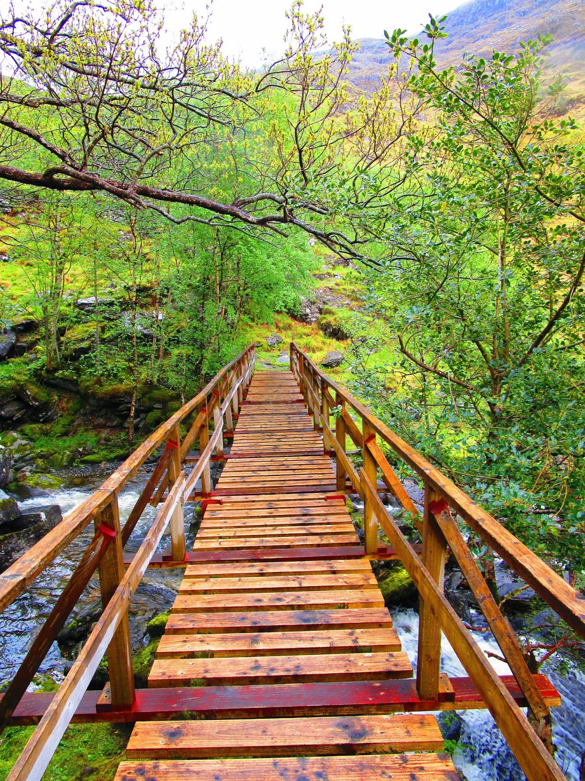
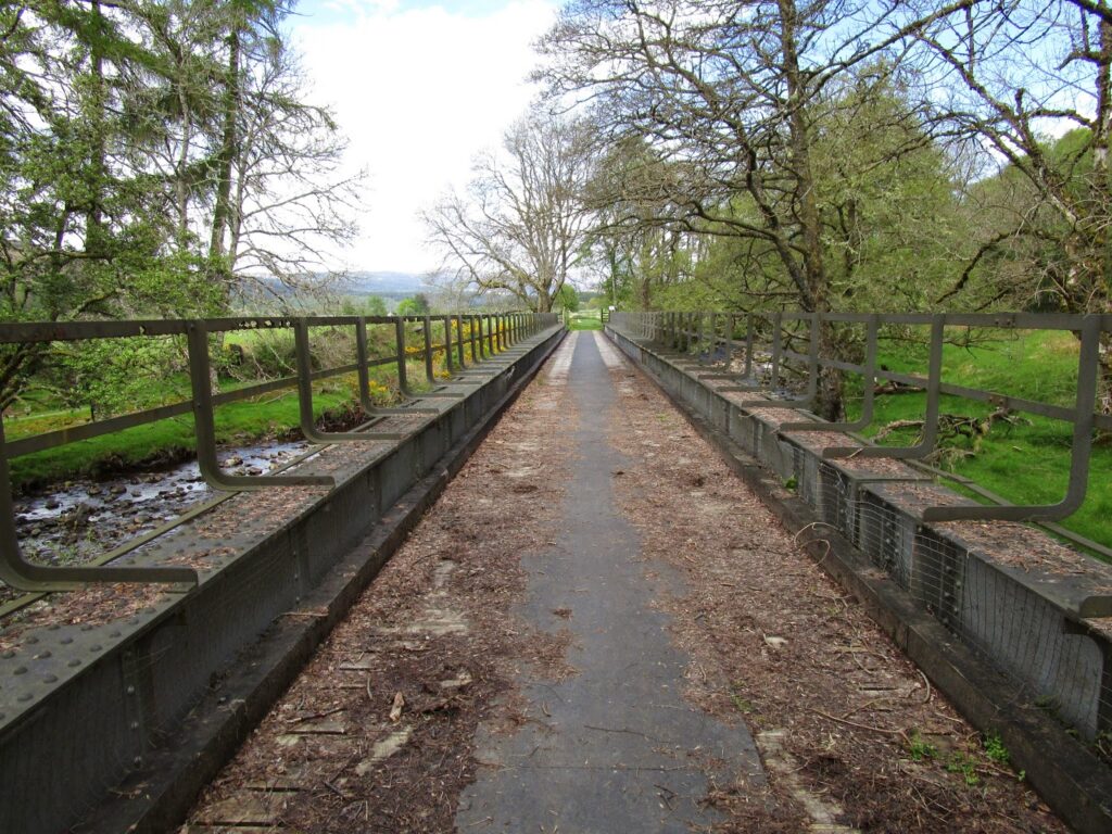
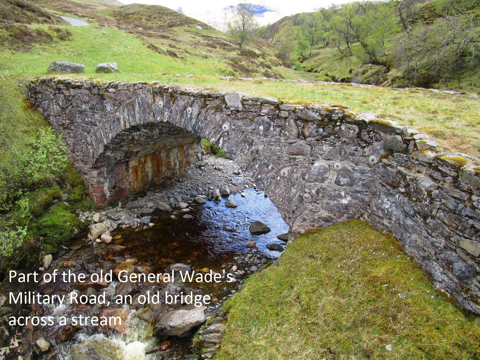
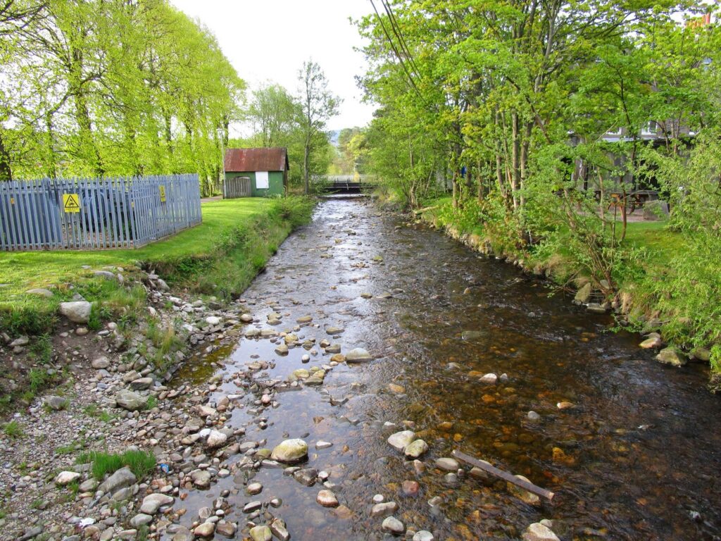
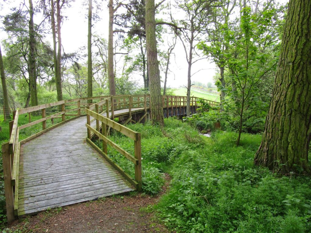
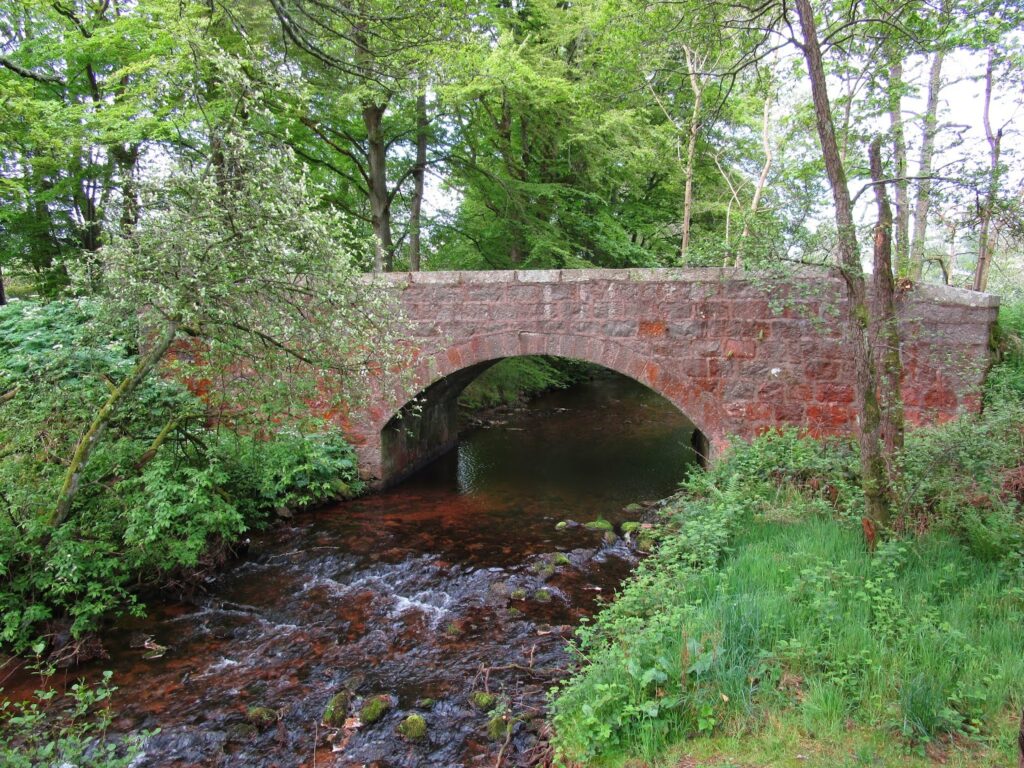
The path we had been following was very primitive and sometimes, as in the bog areas, non existent, but crossing a very lovely stream which feeds the bay, there is a very well constructed bridge. Someone must come this way!
Tap or click on the bridge picture below, and follow the rest of our day
At the end of the show just click the X to close it and continue
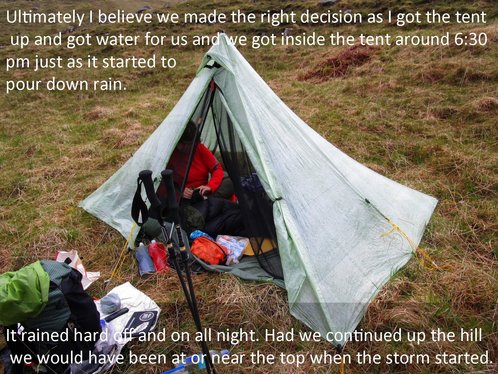
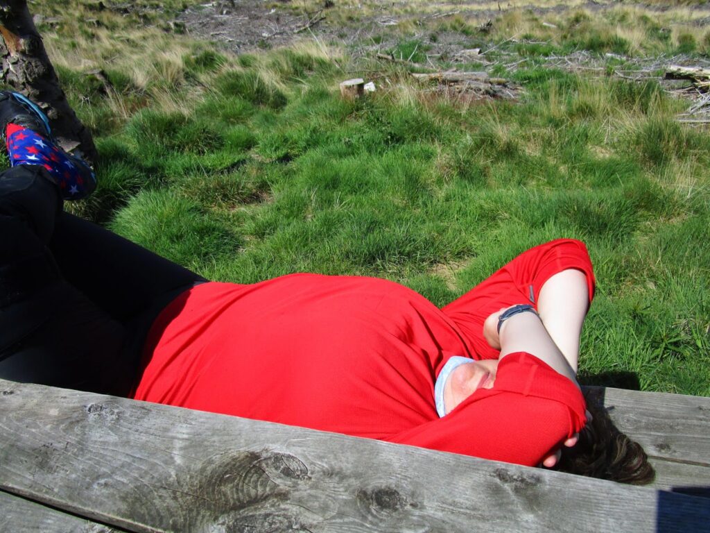
The storms came and went and since it doesn’t get dark until 10:30 pm or even later I was able to peek out of the tent from time to time and was rewarded with several great views.
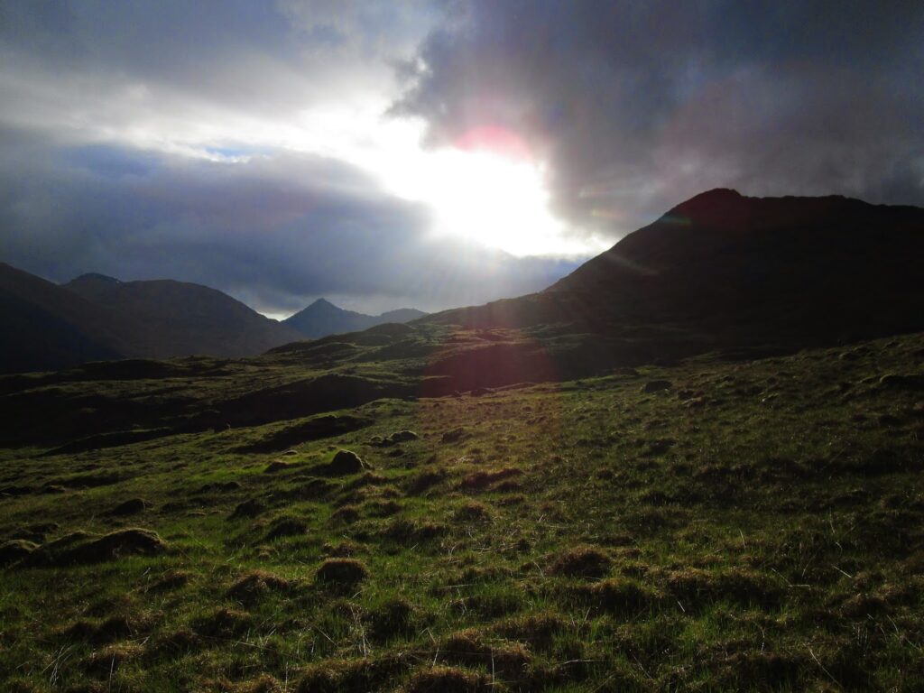
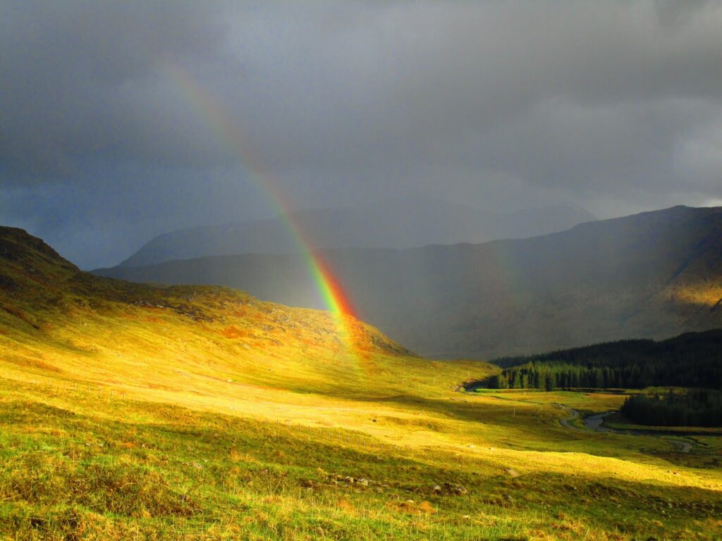
Looking west (above) the low sun light light up the valley to the east and when I turned to see the next rain shower approaching it was preceded by a fantastic rainbow that was grounded only a few hundred yards from our tent. Even though it had been a really tough day and nothing Vicky had ever been expecting or prepared for, this view made it seem like this was the place we should be and that we would continue.
Day Two: 14 miles planned, only 9 miles in 9 hours achieved.
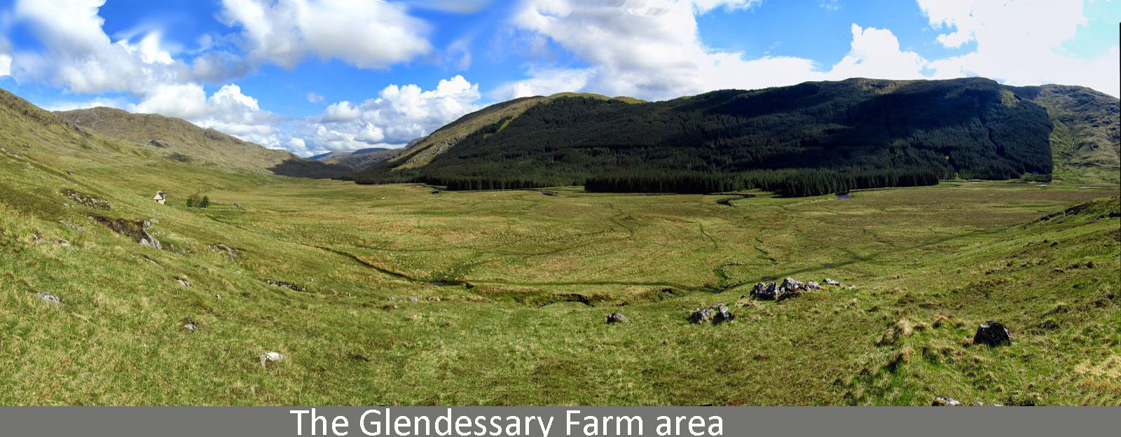
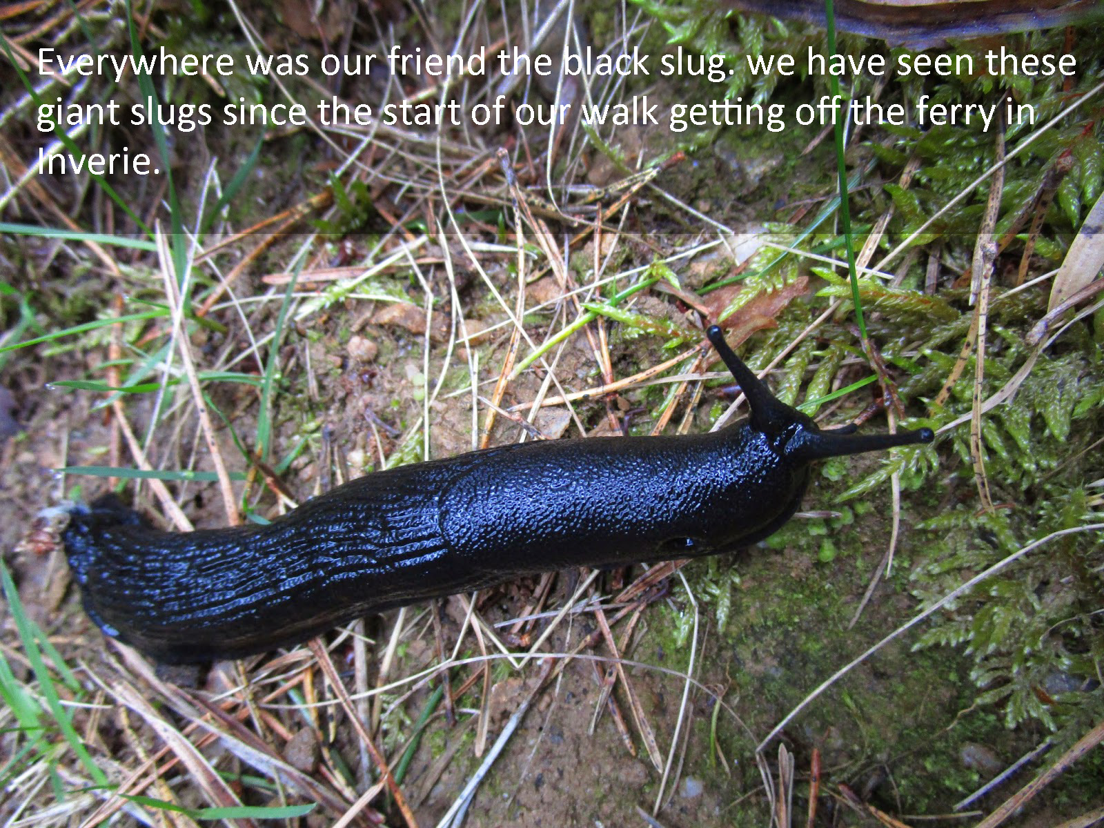
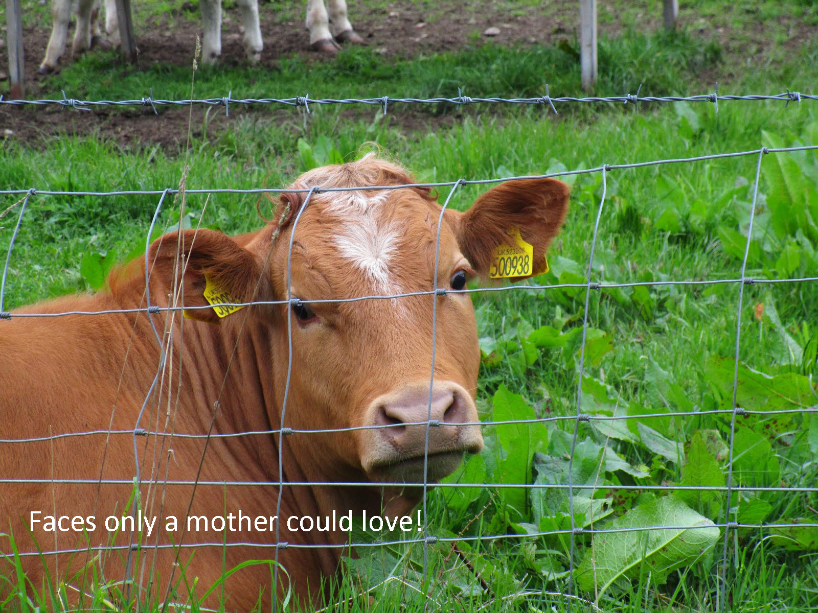
Animals seen: Deer, Highland Cattle, Hawks, Slugs, Slugs, and more Slugs.
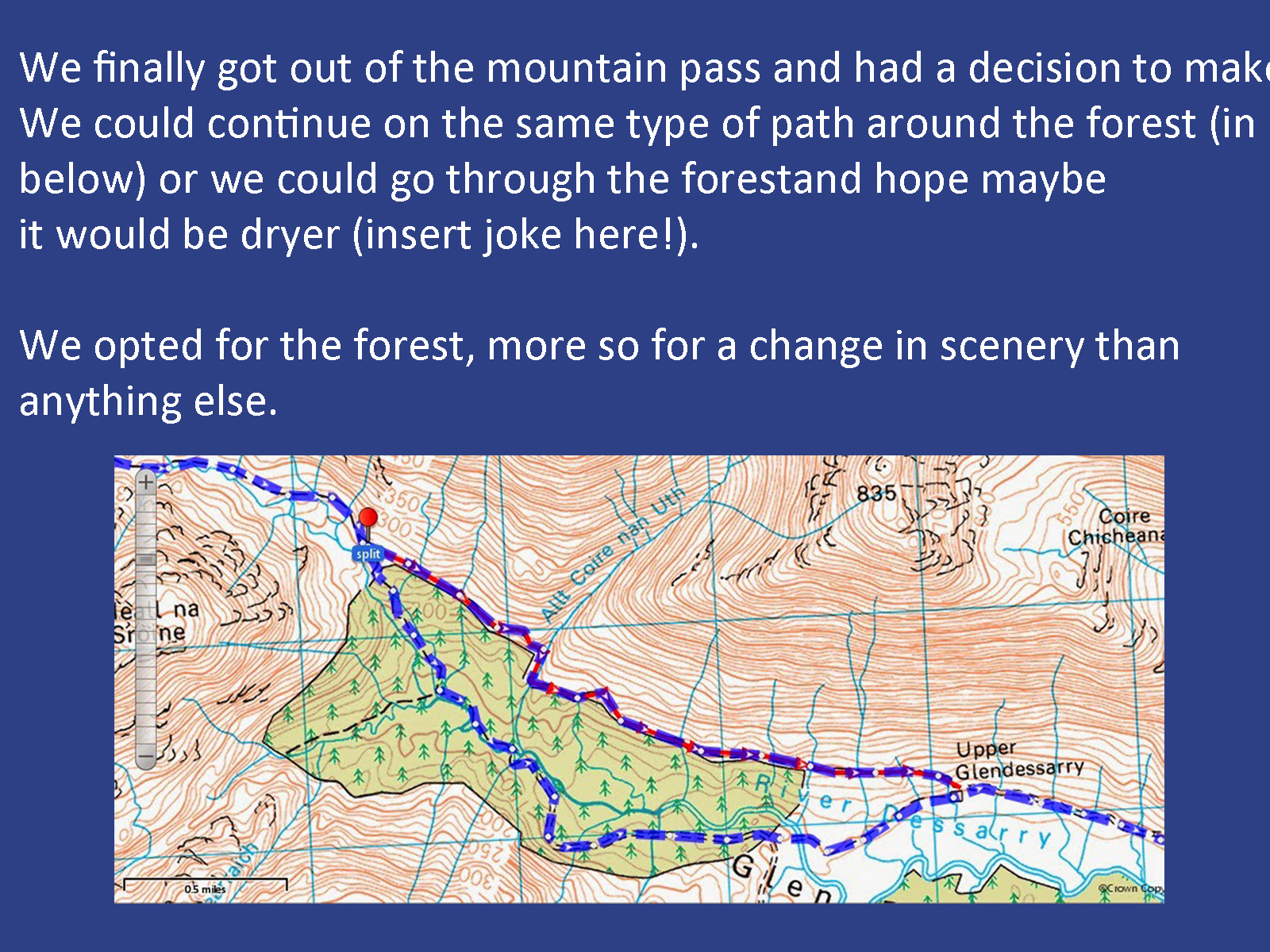
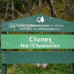
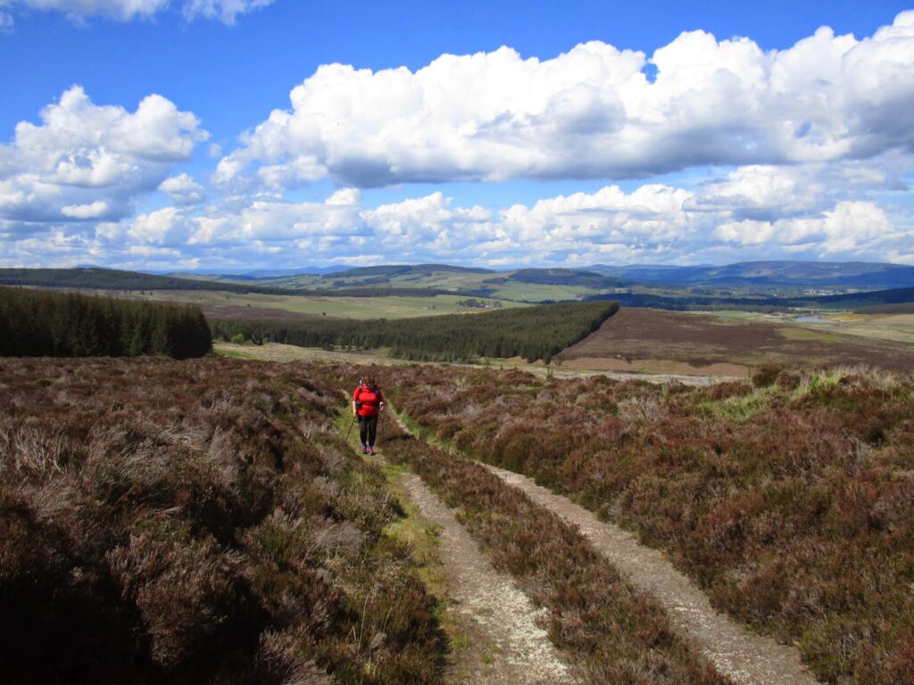
Day 3 – Glendessary to Great Glen Way past Clunes
At the end of day two when we decided to call it a day I sensed that part of Vicky’s hesitation and anxiety with the day, besides just being tired, lay in the knowledge that we would have to just get up and continue on the same track. So when I brought up our FWA ( Foul Weather Alternative) route and that I had already considered a way around the higher peak route, her face lit up like a Christmas tree….
Her anxiety melted away and she visibly brightened to the idea. We had plenty of time to lay in the tent that night and go over the FWA and where it was and what it meant to our plans and what to expect from the new route, in this case a considerable amount of road and hard surface walking. The good news however was that we were literally camped at the FWA split point.
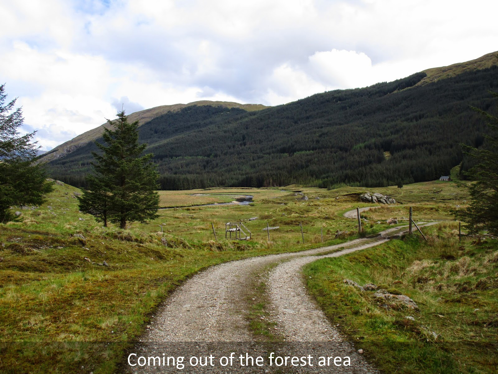
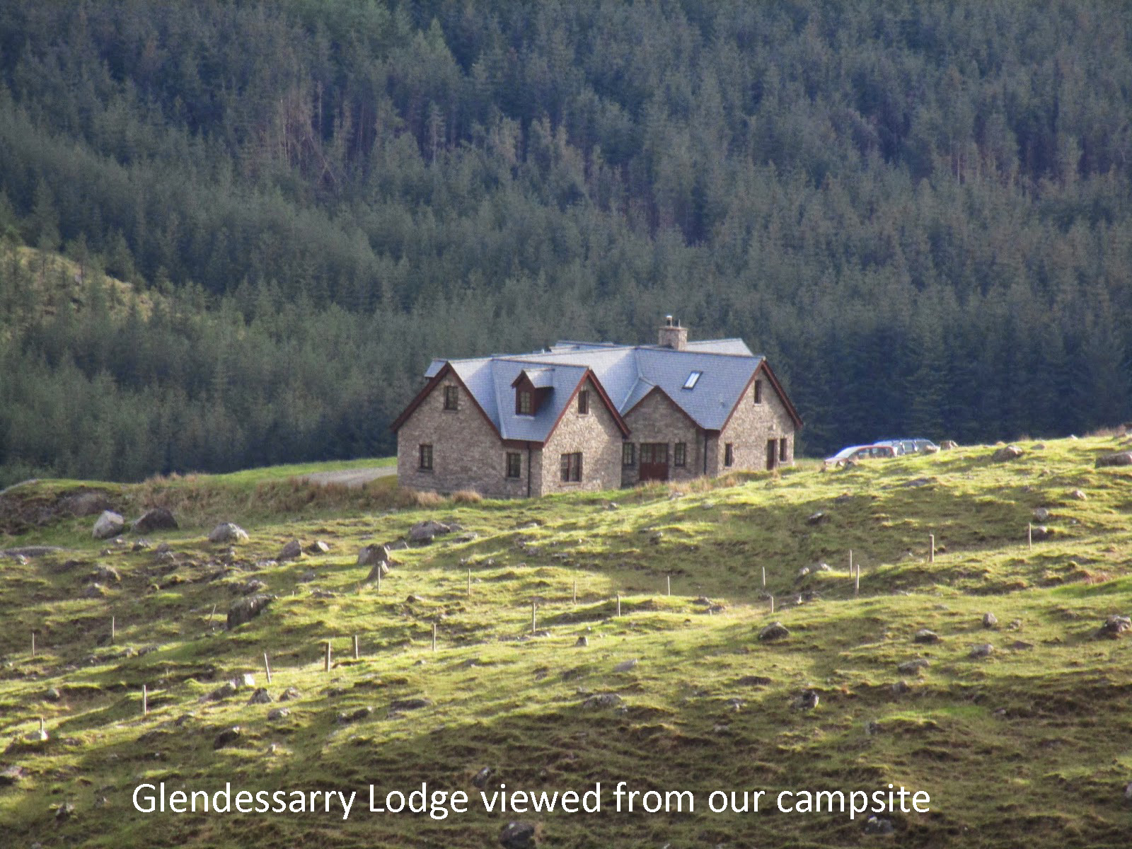
Turn up to Kinbreak bothy was the point that I was to decide to make the climb or turn down and along Loch Arkaig, the route being just a hundred feet below us on the road that passes the Glendessarry Lodge. The rainbow from last night was pointing us in our new direction.
I further recognized that from this point on I would include Vicky in the map reading and decision making. It wasn’t that I specifically keep her away from it, but she was concentrating on preparing physically and mentally for the trip, it seemed like an unnecessary extra burden, but having an idea of where you are going and how long it should take can have a calming effect and relieve additional anxiety.
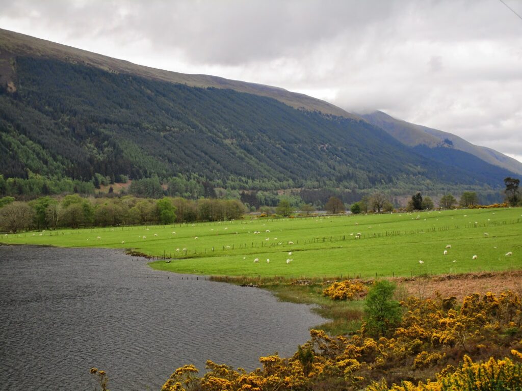
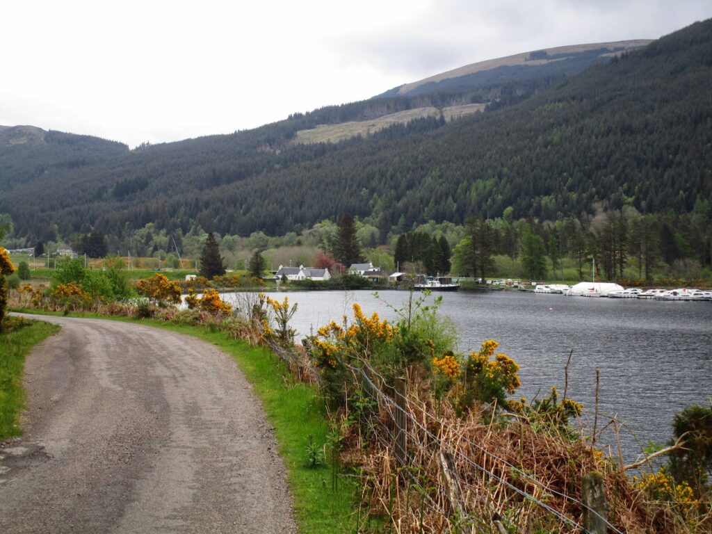
So today we just walked! We packed up early and dropped back down to the road in front of Glendessarry Lodge and turned east. Our job today was just to walk as far as we could. there was no elevation or bogs or rocky roads. Our path would take us along Loch Arkaig then Loch Lochy and the Great Glen Way north east toward Ft Augustus and Loch Ness tomorrow.
With the pressure lifted we were able to walk and talk and enjoy the scenery for the day. We stopped at the old Garrison ruins on Loch Arkaig for some pictures.
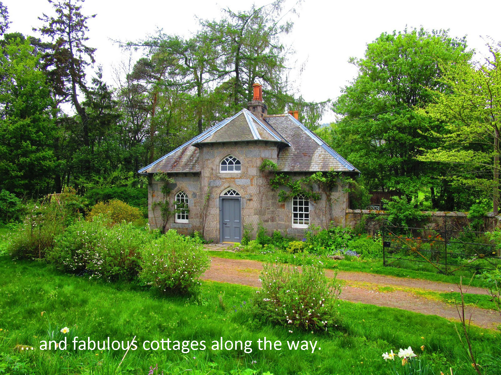
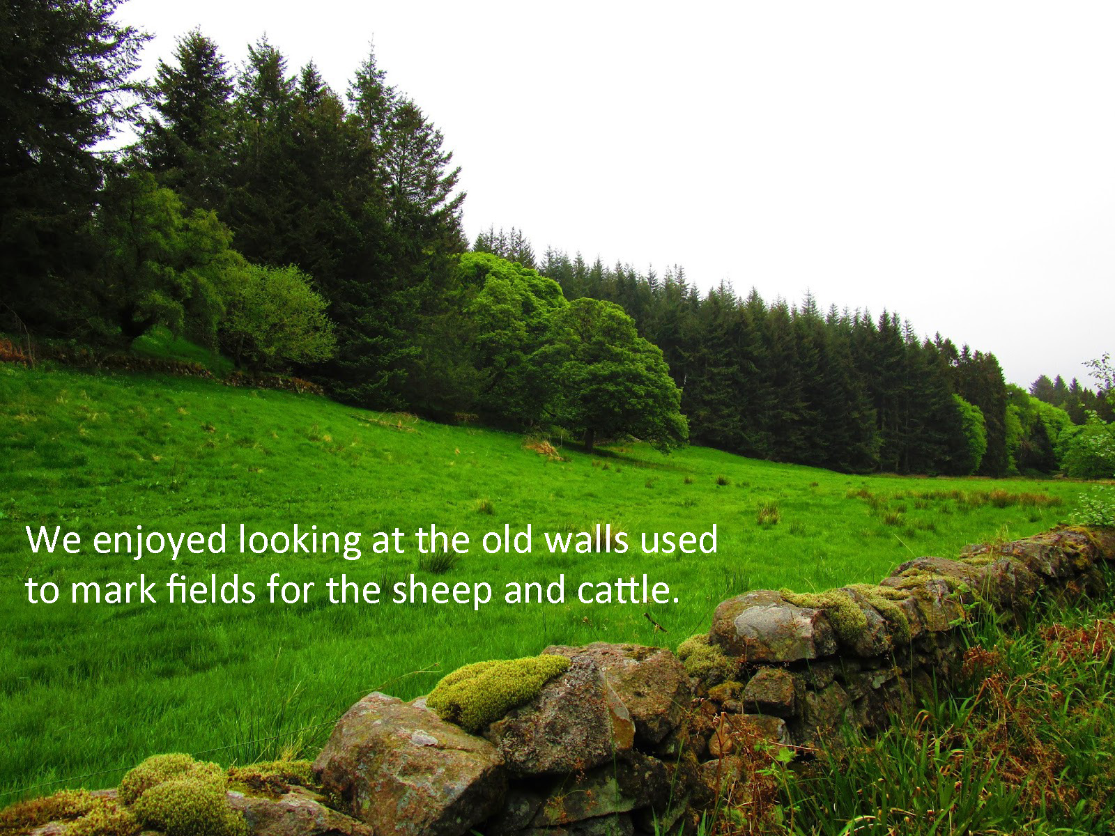
We counted stone walls and lovely Scottish cottages along the Lochs all day.
I was surprised at how many Challengers we encountered today. It seems we were not alone in taking our FWA as many Challengers reported it to be just too wet underfoot or too windy up high for safe travel.
I was secretly glad we chose this route today, mostly for Vicky, but I was enjoying just mindlessly walking today as well.
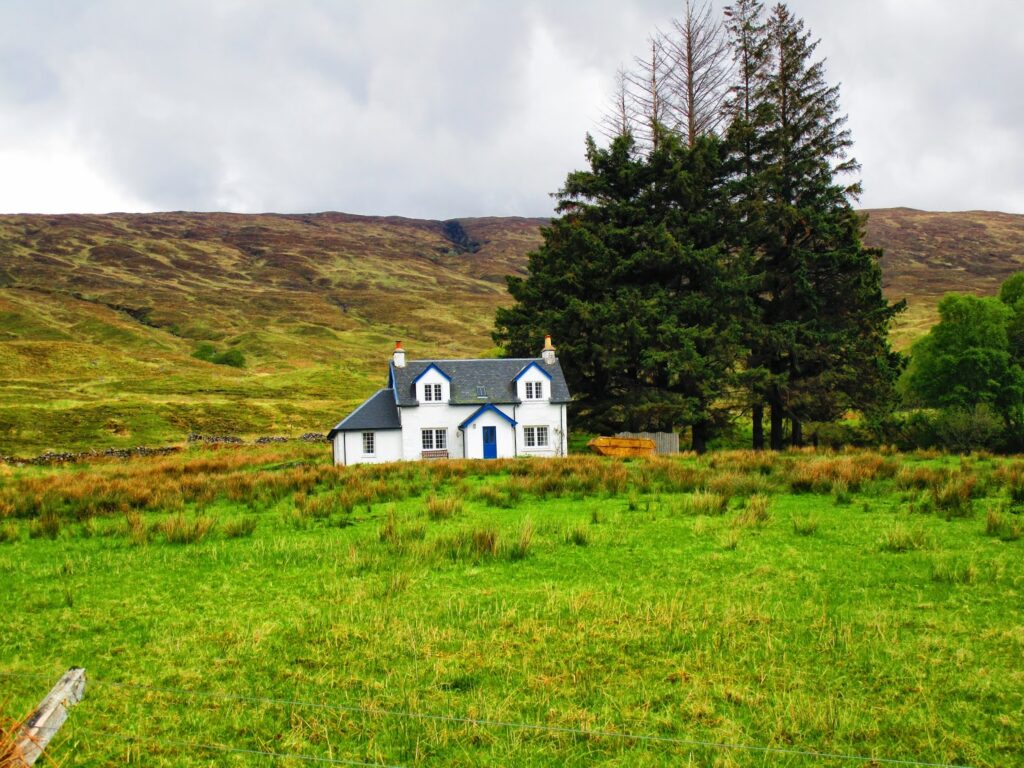
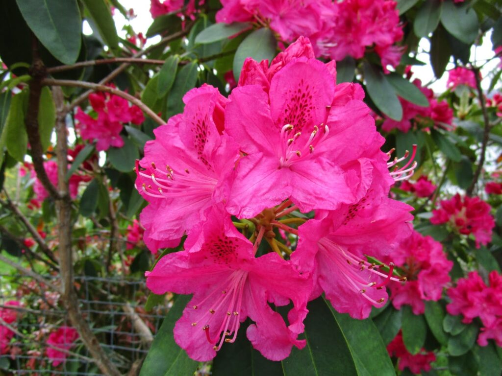
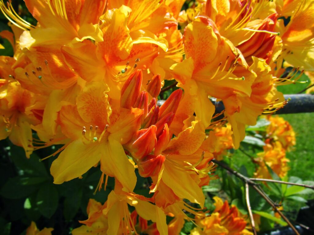
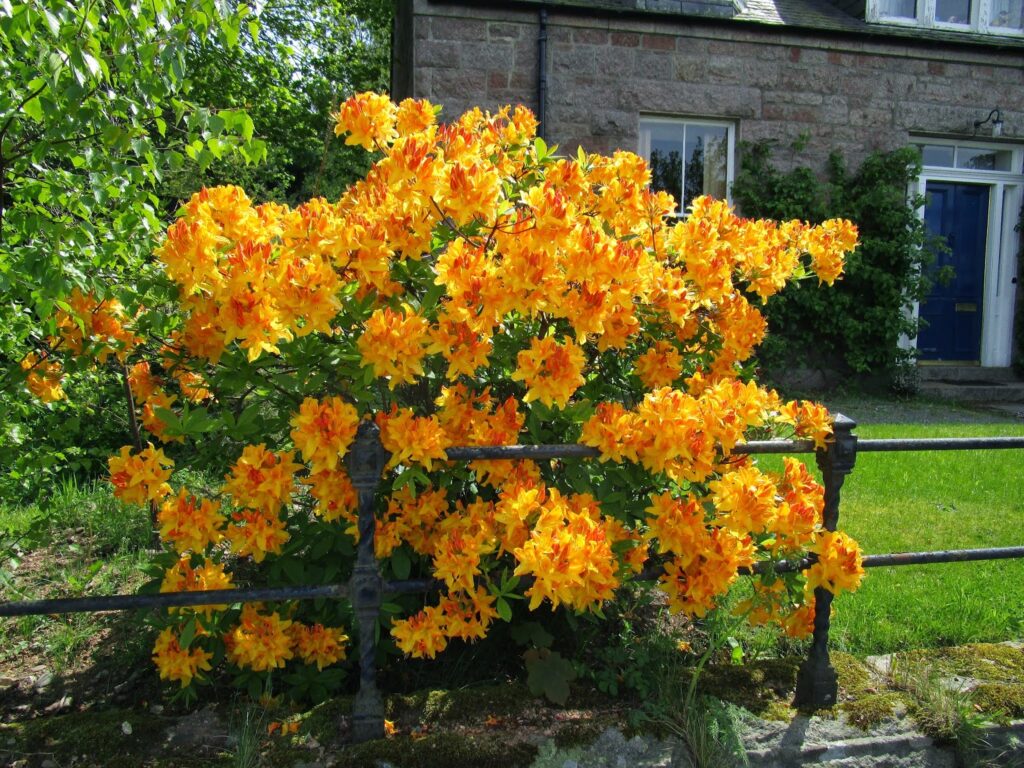
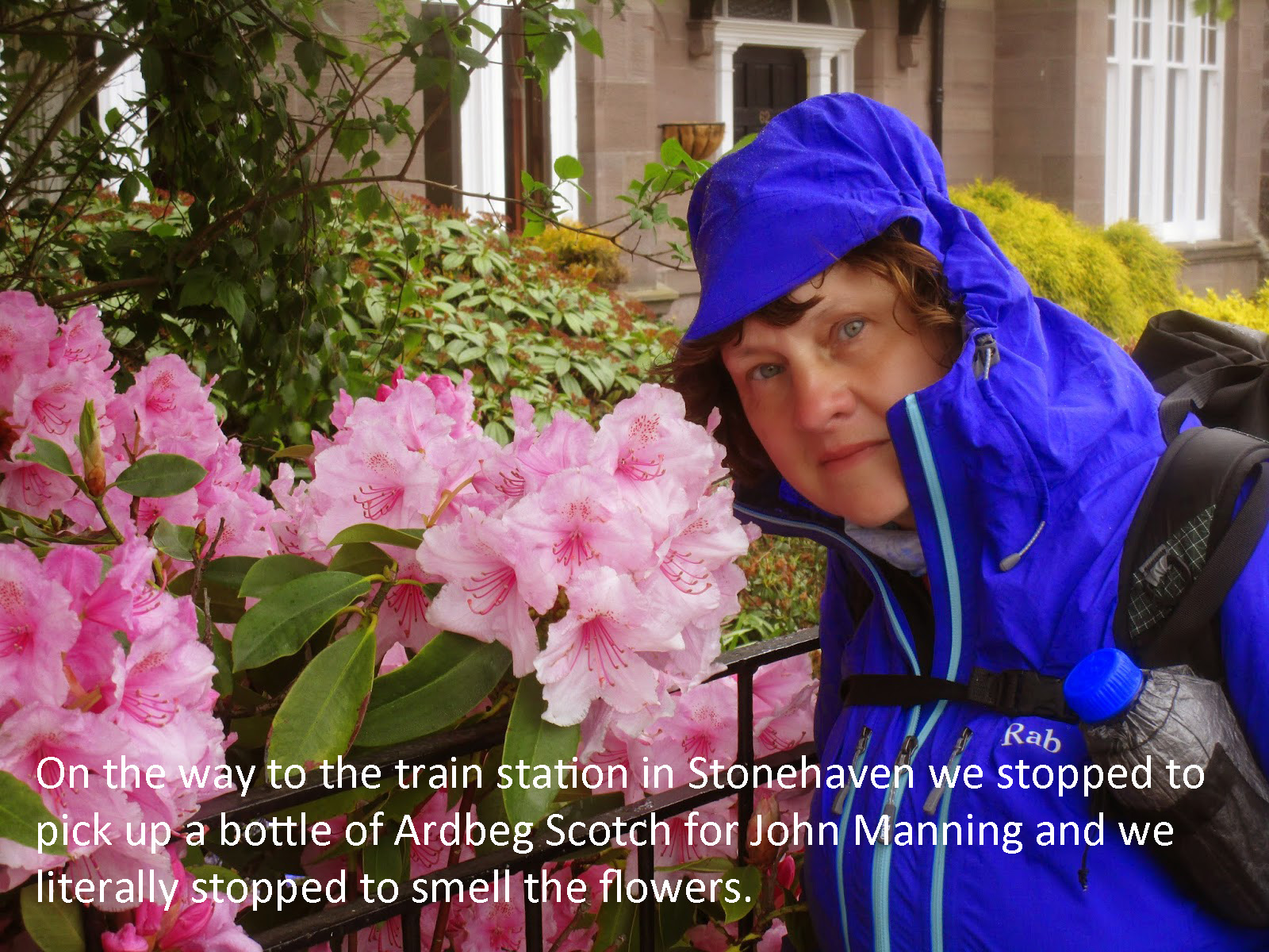
Several of the cottages had lovely gardens and we stopped to smell the flowers and admire the colors.
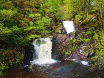
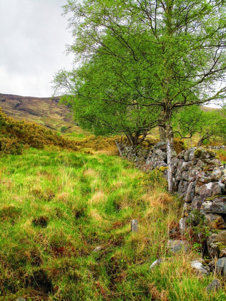
Walking close to Clunes we encountered an enchanted land of green with parks and waterfalls and more old stone walls clingy with moss. It is also the moment when the overriding smell of spring hit me for the first time and I would look, and smell for it, the remainder of the trip- Honeysuckle!
We had hoped there would be a B&B in Clunes and if so we planned to take advantage of it. At the very least we hoped to find a convenience store or grocery store to buy good food for dinner tonight. It had been a long day on the road down the Lochs and I estimated we had done about 15 miles to this point.
I probably didn’t mention I didn’t have maps of my FWA route except on my phone and that had died yesterday because I had dropped it into a cold stream and drained the battery….. so I was also looking for a place to charge my phone as well.
There was nothing in Clunes but a sign post and maybe 7 or 8 houses. We spoke to a local who told us that there was a campsite about 3.5 miles down the Great Glen Way.
Sitting down at a picnic table having a late lunch, we discussed our next move. We really didn’t want to go any further but felt like we needed to press on a bit farther. If there was an established campsite it might provide the most comfortable nights sleep. So we pressed onto the Great Glen Way, northeast, which was our direction anyway.
About 3 miles into the walk up the G.G.W we encountered 3 bicyclists. We ask them how much further to the campsite and they replied the only campsite they had seen was 5 or 6 miles up the Way. (remember this as it will be important tomorrow!)
So Vicky and I looked for the first flat place to pitch our tent! Water was coming out of the hills every 100 feet, so it was just a matter of finding a flat pitch and the day was over.
We had done 20.1 miles !!!!! Sore feet, but a great rebound day from yesterday.
Day 3: 20 miles in 9 hours
Day 4 – Great Glen Way to Fort Augustus
As I noted in day three we had planned to camp at the wild campsite along the Great Glen Way between Clunes and Laggan, but when we were told by some cyclist that the nearest campsite was five or six miles away, we gave up and settled for where we were, even though we had been told by a local it was there and we had to be close to the point he described.
We had not broken camp and walked 15 minutes and we came upon the wild campsite. It was at the site of Glas-dhoire ruins. It had a smooth lawn to pitch on overlooking the loch and an even a beach!
So after a few looks of incredulity we carried on with our day, it was was a nice day but breezy day. So far we had been very lucky with the weather, it hadn’t rained during the day on us once.
Water continued to be everywhere and we enjoyed the views out to the loch on our right side and the many water features on or left
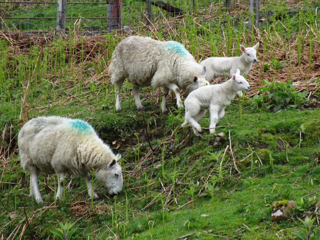
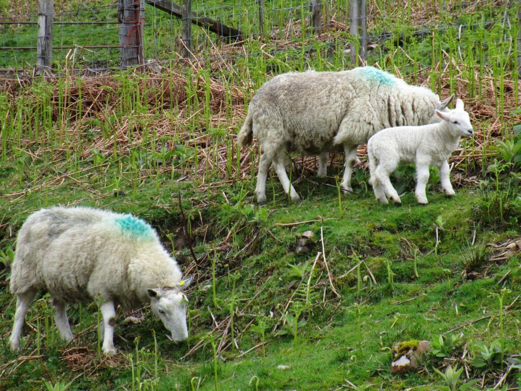
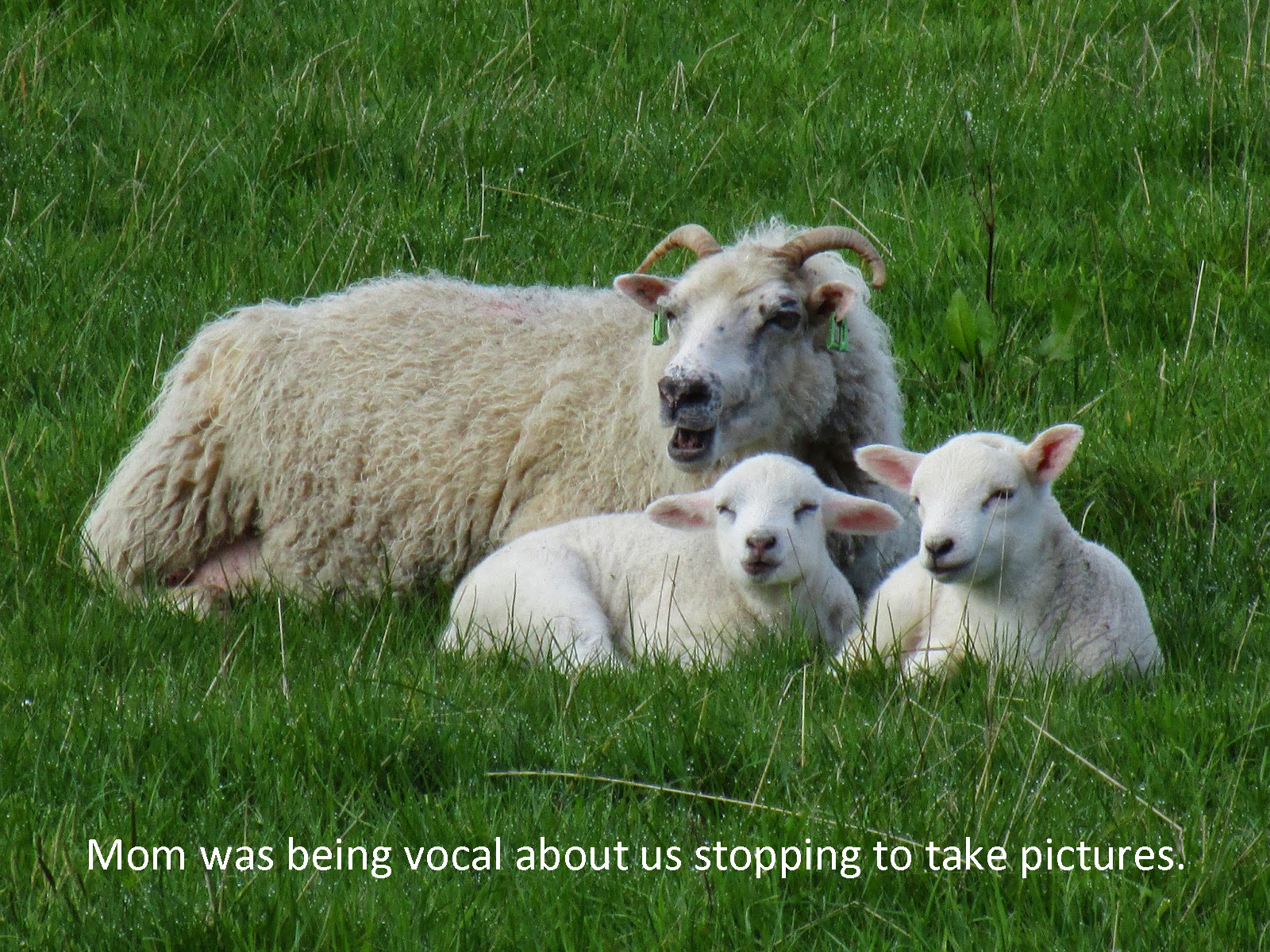
After about 3 miles we left the Laggan Forest we had been walking in since leaving Clunes and arrived in Kilfinnin. It was dominated by several very upscale B&B’s and our first lambing experience. The fields were filled with sheep and their new offspring. We passed through these areas as quietly as we could to not scare the new lambs.
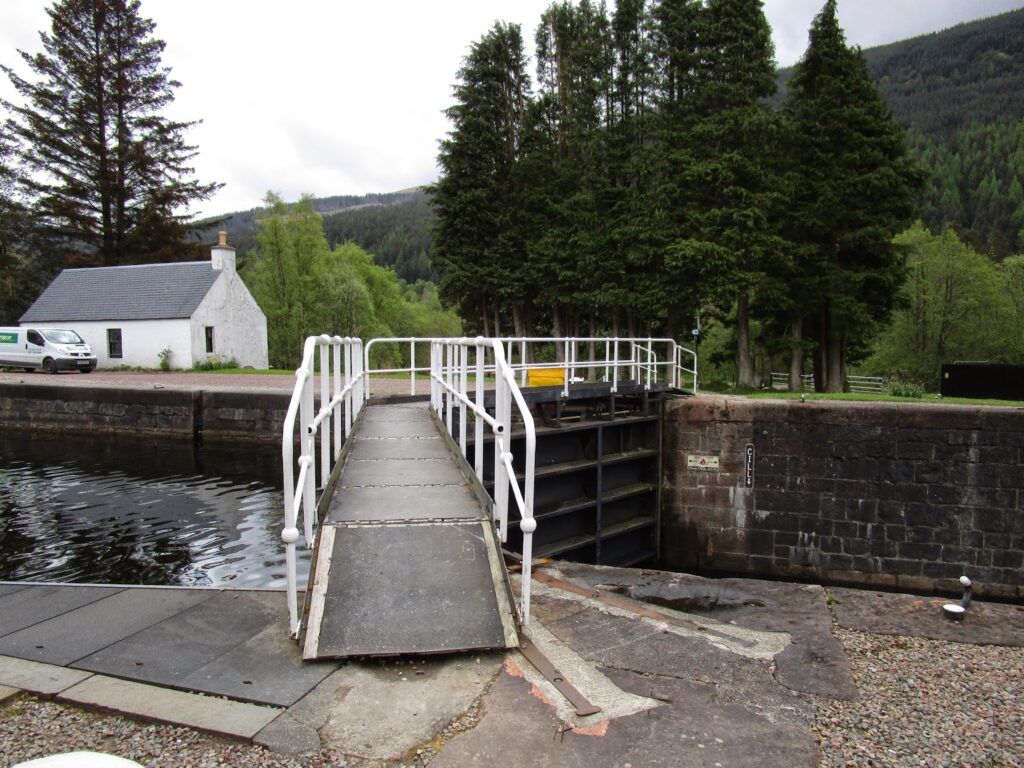
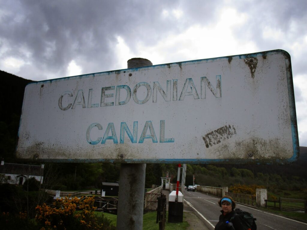
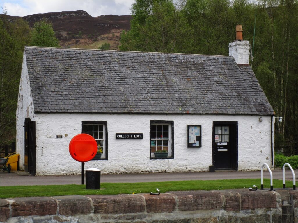
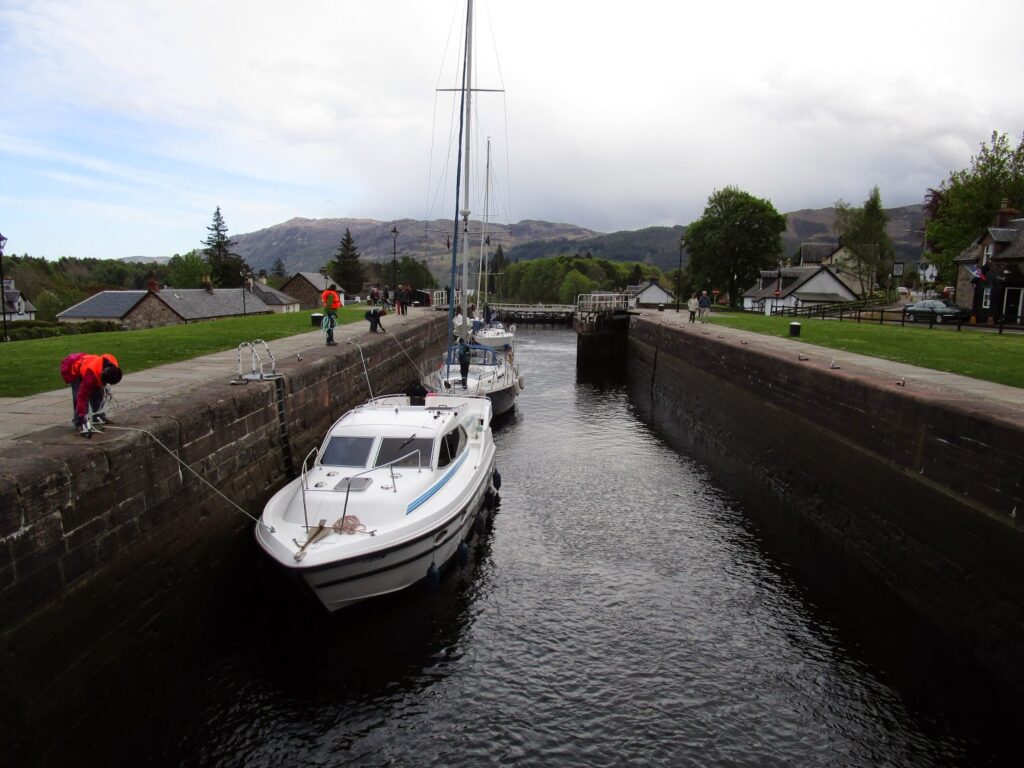
The Lock is exactly that, a lock were the water can rise and fall to let boats pass from one waterway to another. We needed to walk over the lock to continue on toward Ft Augustus. I took the opportunity to step into the lock masters office and verify directions as my phone and its maps were still dead.
Here was again the generosity of the Scottish people. Once I explained what we were doing, the nice lady not only confirmed we were pointed in the right direction, she got us maps, and gave us directions to a great place to have breakfast sandwiches in Invergarry just up the canal.
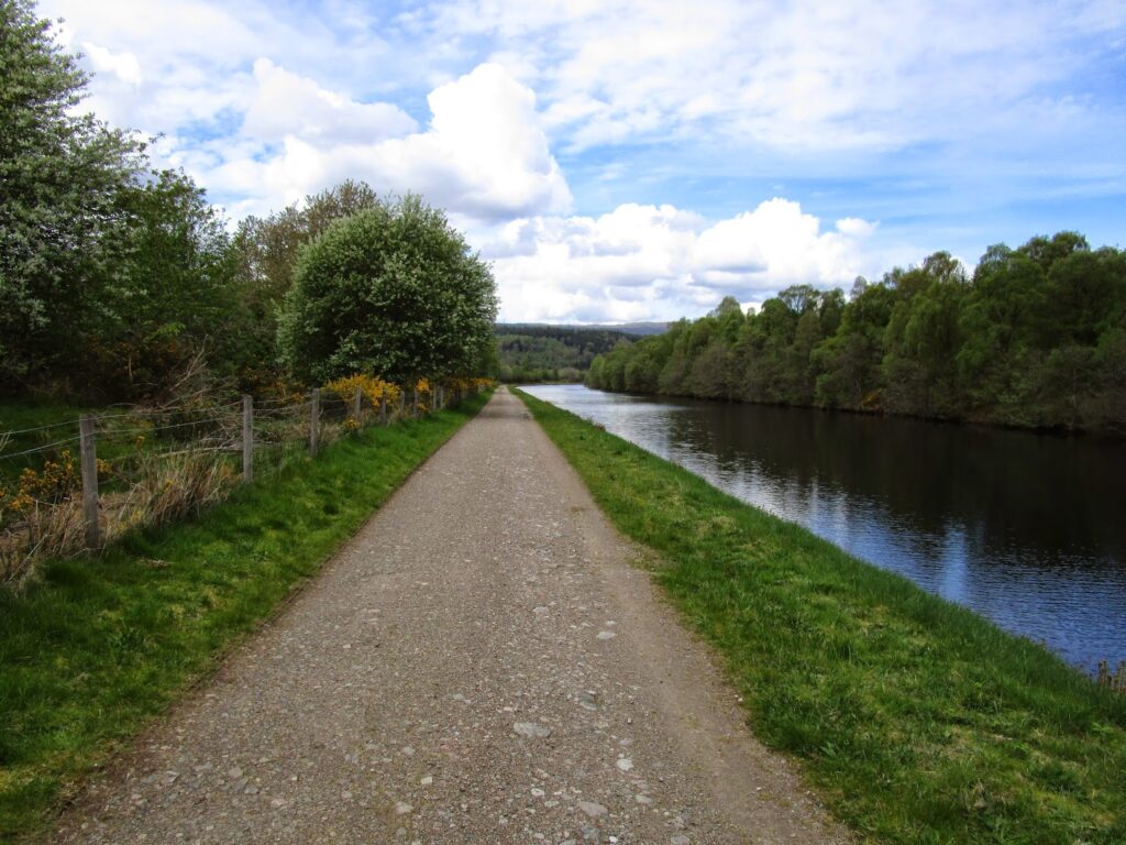
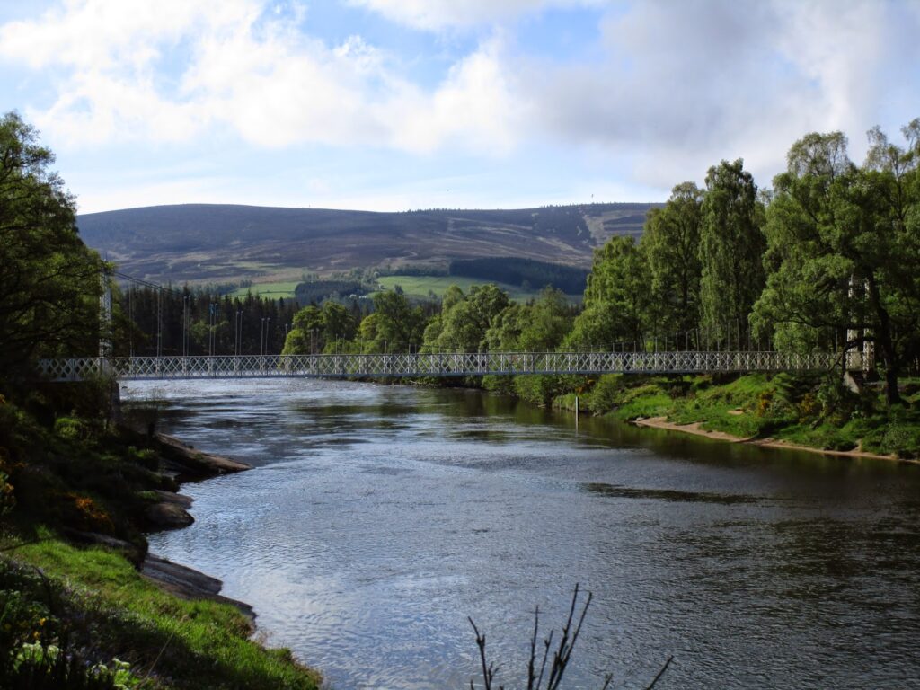
The path up the canal was in a very nice forest of trees with the canal on the left, we got to see several large boats coming down the canal.
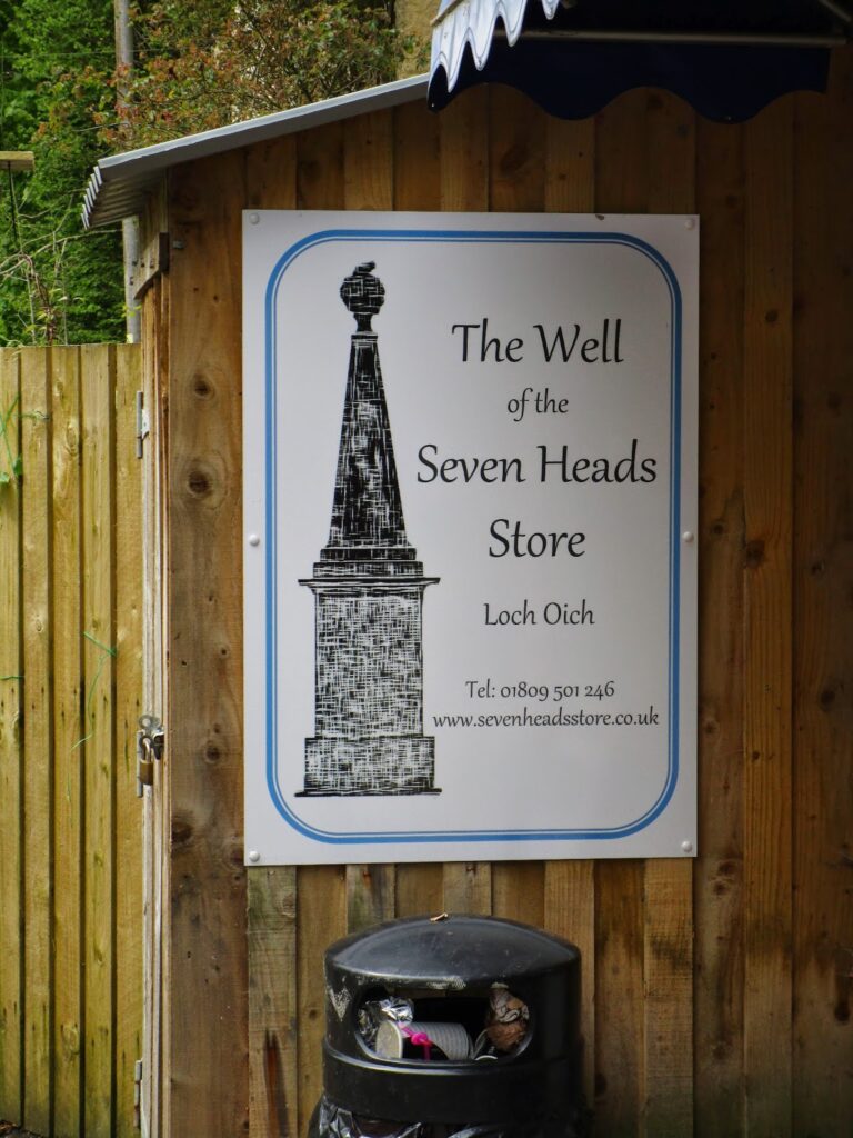
We followed the directions to the Well of the Seven Heads Store and the husband and wife owners who actually live above the store.
This store turned out to be more important than either Vicky or I realized when we arrived. This was day 4 with some very tough days for Vicky, we had now been out longer than Vicky had ever been out and done more miles than she had ever done before and coupled, I think, with some home sickness for the kids and dogs she broke down a bit and cried.
I have encountered these emotions before, as I think most people that hike long distances do, mine usually comes on the 3rd day. We talked it out, but nothing helps to improve your mood like food and company. We had bacon and sausage rolls, soda, chips, candy and ice cream…. all the essentials. In addition the proprietress and Vicky hit it off and started a running conversation. Another woman to have a conversation with was very helpful. They even let me charge my phone while we ate.
So we stayed, rested. talked and ate while my phone charged. Vicky bought and mailed some postcards and we indulged in one of our favorite past times – people watching, as cars, buses, cyclists came and went from the shop. Occasionally Vicky would answer questions about why were there and what we were doing with our backpacks in Scotland.
90 minutes later- Therapy successful we left refreshed and feeling much better. We crossed back over the A82 to get back on the Great Glen Way and had fun the rest of the afternoon following this easy and scenic path toward Ft Augustus. We passed several couples out for walks and stopped to talk to each about our trip and theirs and share the experience of being outside in a beautiful country.
The Great Glen Way follows the path of an abandoned railway line, we have something very similar right near our home called the Katy Trail. It is a 240 mile scenic hike and bike trail made from an abandon railway line that follows the Missouri River through more than half of Missouri.
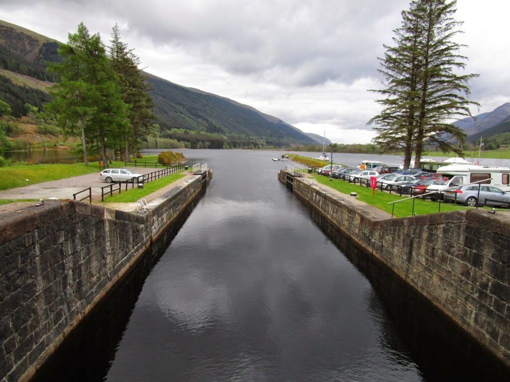
We passed through the Aberchalder Estate with many sheep and new lambs. The last section before Ft Augustus is the Caledonian Canal. We got to watch the lock swing open and close for a boat just as we arrived. We stopped to talk to the Lock Master as he operated the controls and while we both speak the same language Vicky and I smiled at each other that we only picked up about one in every five words of his Scottish brogue.
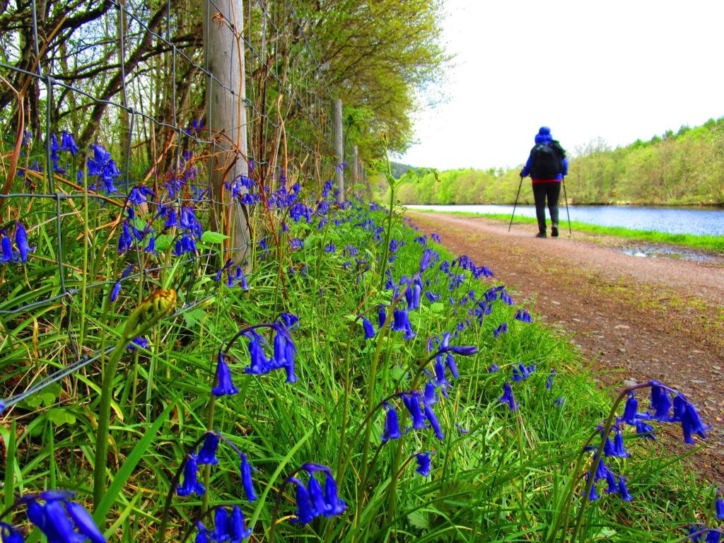
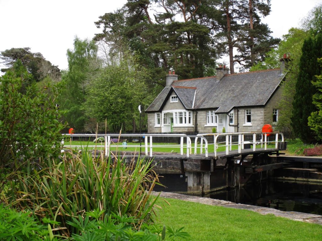
The day had brightened considerably and the walk down the canal was very nice, if a little hard on the feet as this section was a very hard and compacted surface. This section was great therapy for the first two days, as we just walked and enjoyed the lovely scenery of the hills and flowers blooming. We particularly liked the lock residences. They all seem to be very well maintained/ restored and we both could see ourselves living in a cottage by a lock.
We arrived back in Ft. Augustus. I say back as we were here 22 years ago and stayed at the Lovat Arms, Now called just the Lovat (as it has been turned into some kind of soppy romantic retreat….)
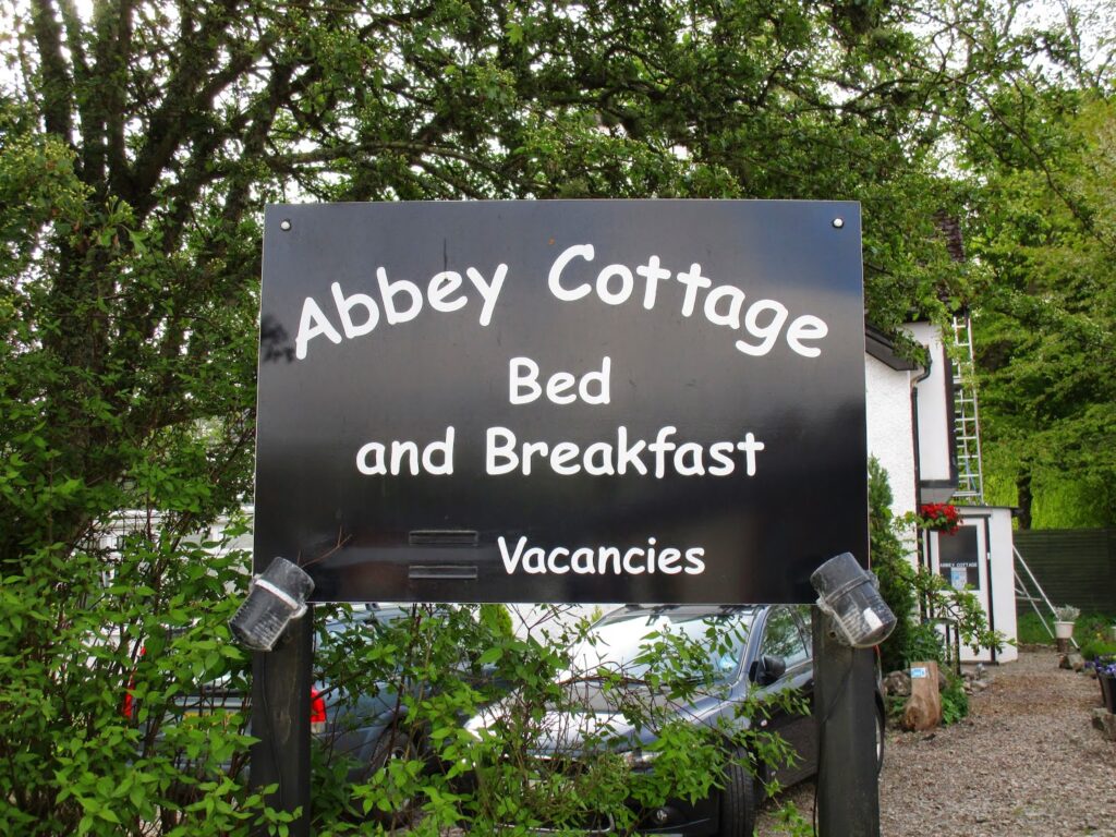
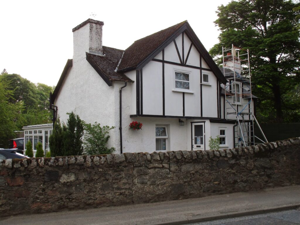
This time we stayed at the Abbey Cottage B&B. Paul, one of the owners went out of his way to help me with a problem I discovered when I arrived. Apparently I had left my iphone on a bench at the Kytra Lock about two miles back up the canal. Paul drove me back up the lock side path to find that my phone was indeed still sitting on the bench and even though many people both walking and biking had past that way, no one had bothered it…. amazing.
We had sent ourselves a food box when we arrived in Glasgow on Wednesday but the Royal Mail, like the US Postal Service did not deliver it by the time we arrived in Ft.Augustus. After a couple of showers and a lie down on a comfortable bed, it didn’t matter! A quick trip to the grocery store/gas station and it was all sorted out.
The Lock Inn (Below) turned out to be the place that challengers meet that evening and the food was excellent.
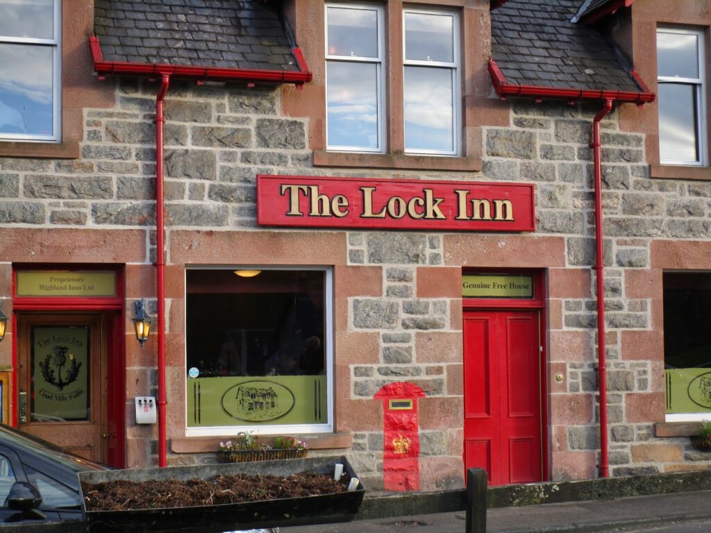
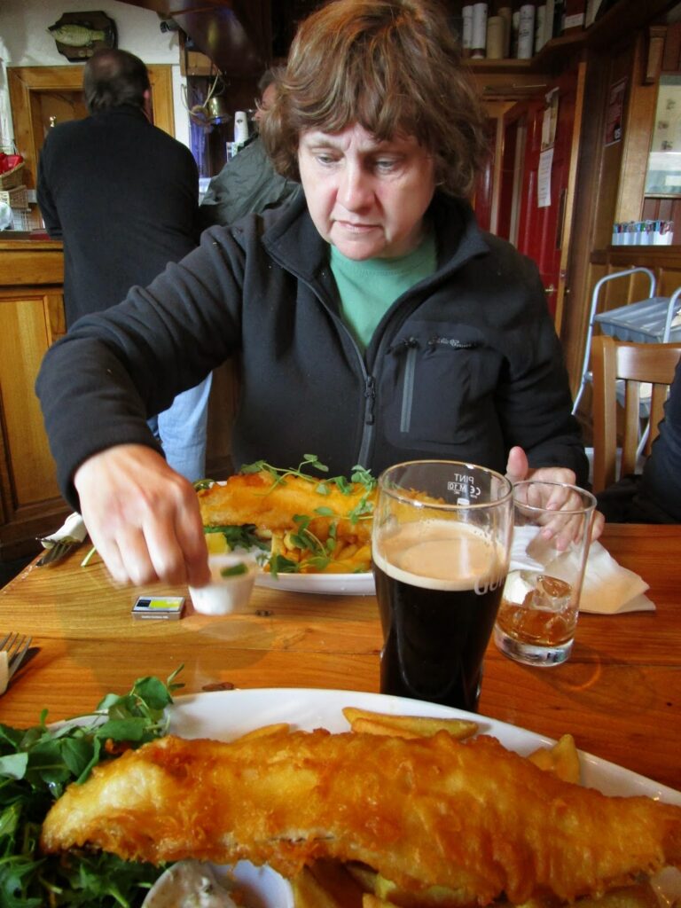
Proper fish and chips for Vicky and I, some Haggis for one of our two dinner companions. We have run into Vicky and Toby off and on since Mallaig and they are delightful (if a very young 25) couple. We enjoyed their company several more times for the remainder of the trip.
This night would see 80% of the Americans (8/10), on the TGO, in Ft Augustus and 6 of them would be in the grocery store the next morning at the same time!
A big meal, a couple of pints of Guinness and off to bed. A day of emotional swings that ended extremely well.
Day 4: 15 miles in 7 hours of walking and 9 hours total with brunch in Invergarry.
Highly Recommended: The Well of the Seven Heads Store on the A82, Abbey Cottage B&B, The Lock Inn Restaurant
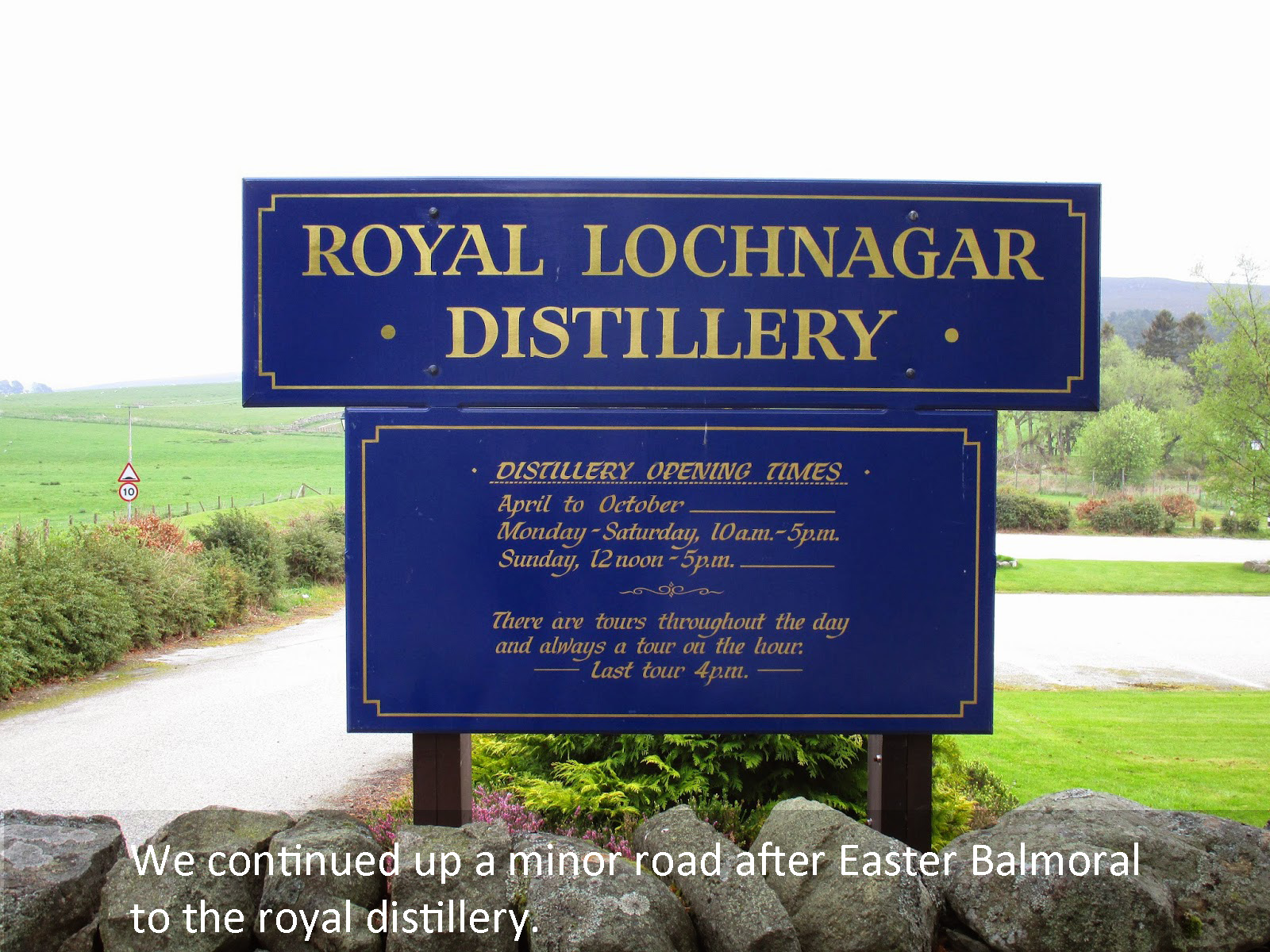
TGO Challenge Day 5 – Ft Augustus to Kingussie (via Aviemore Medical Center)
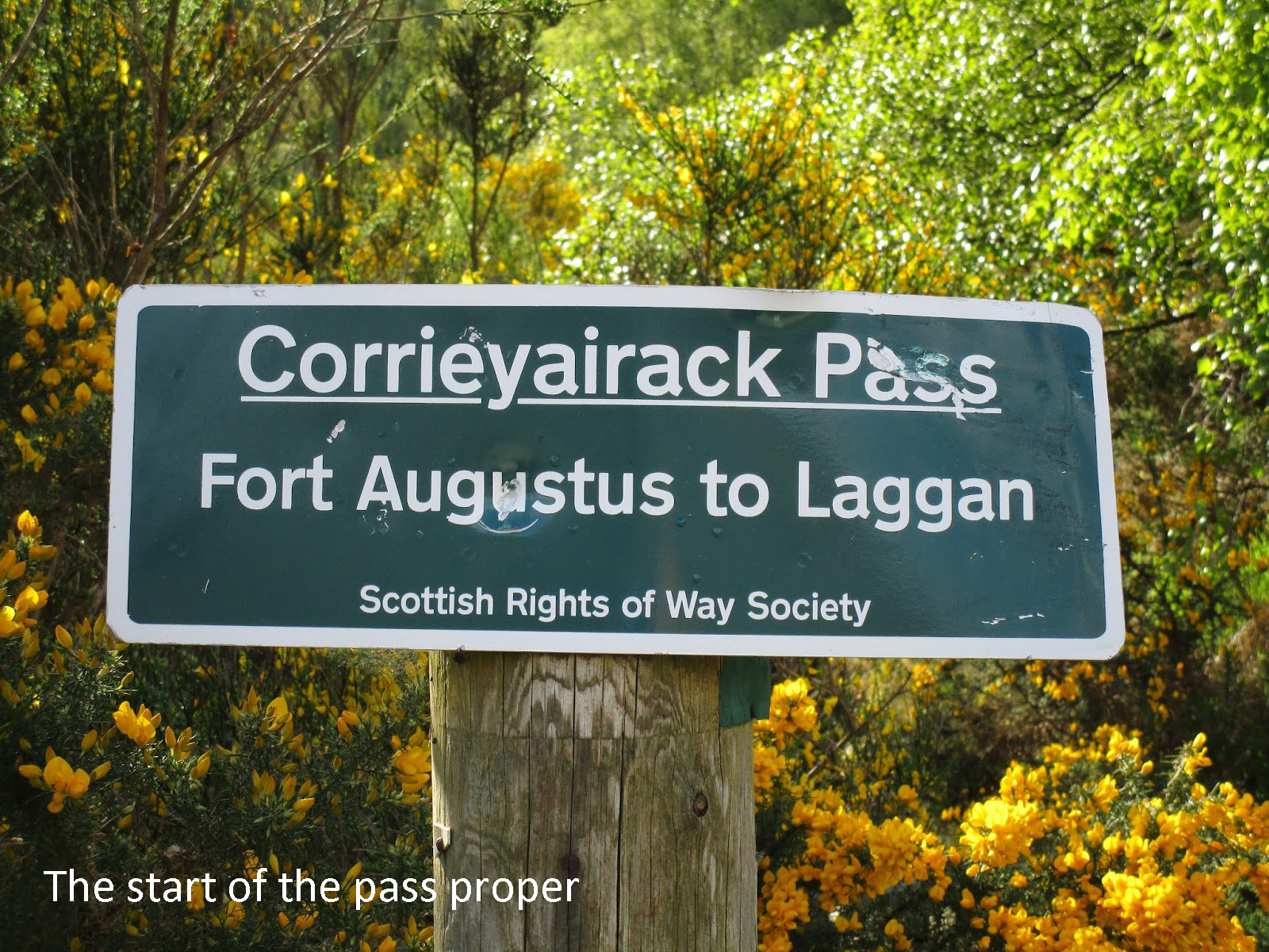
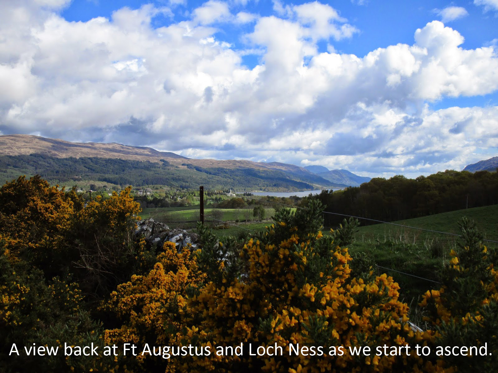
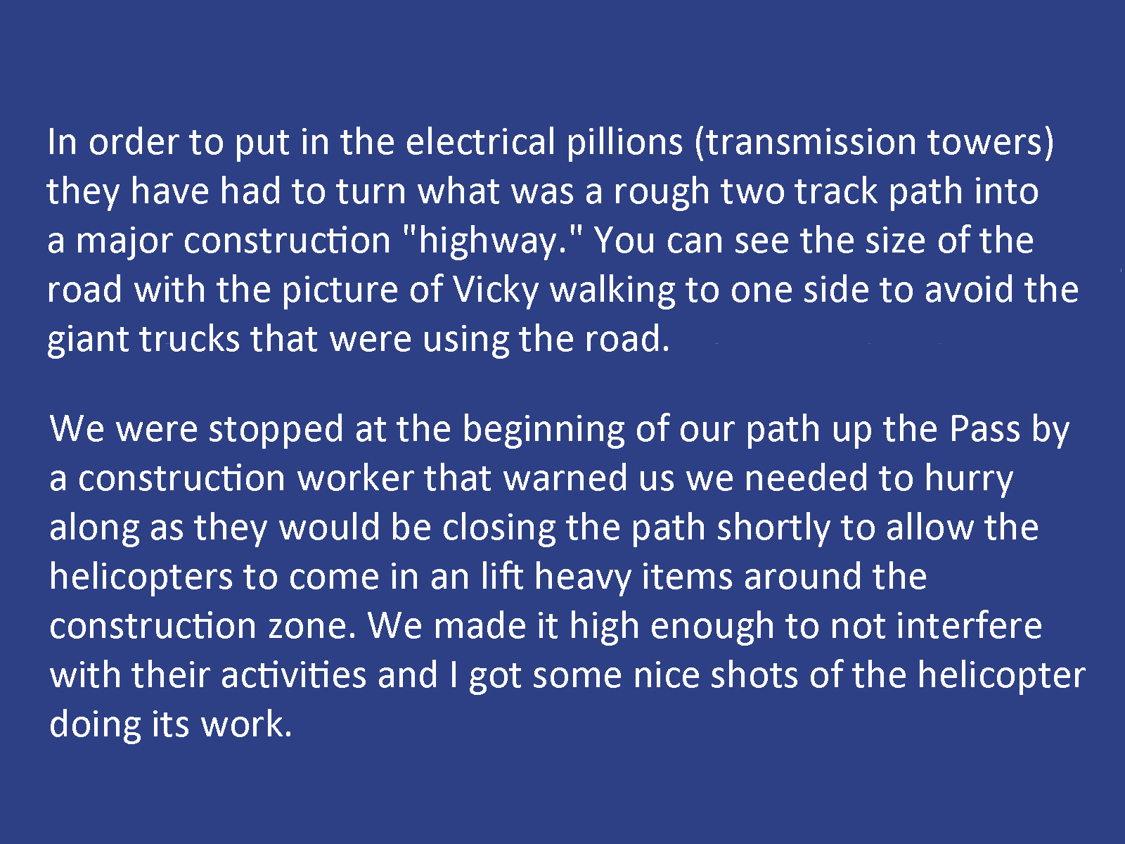
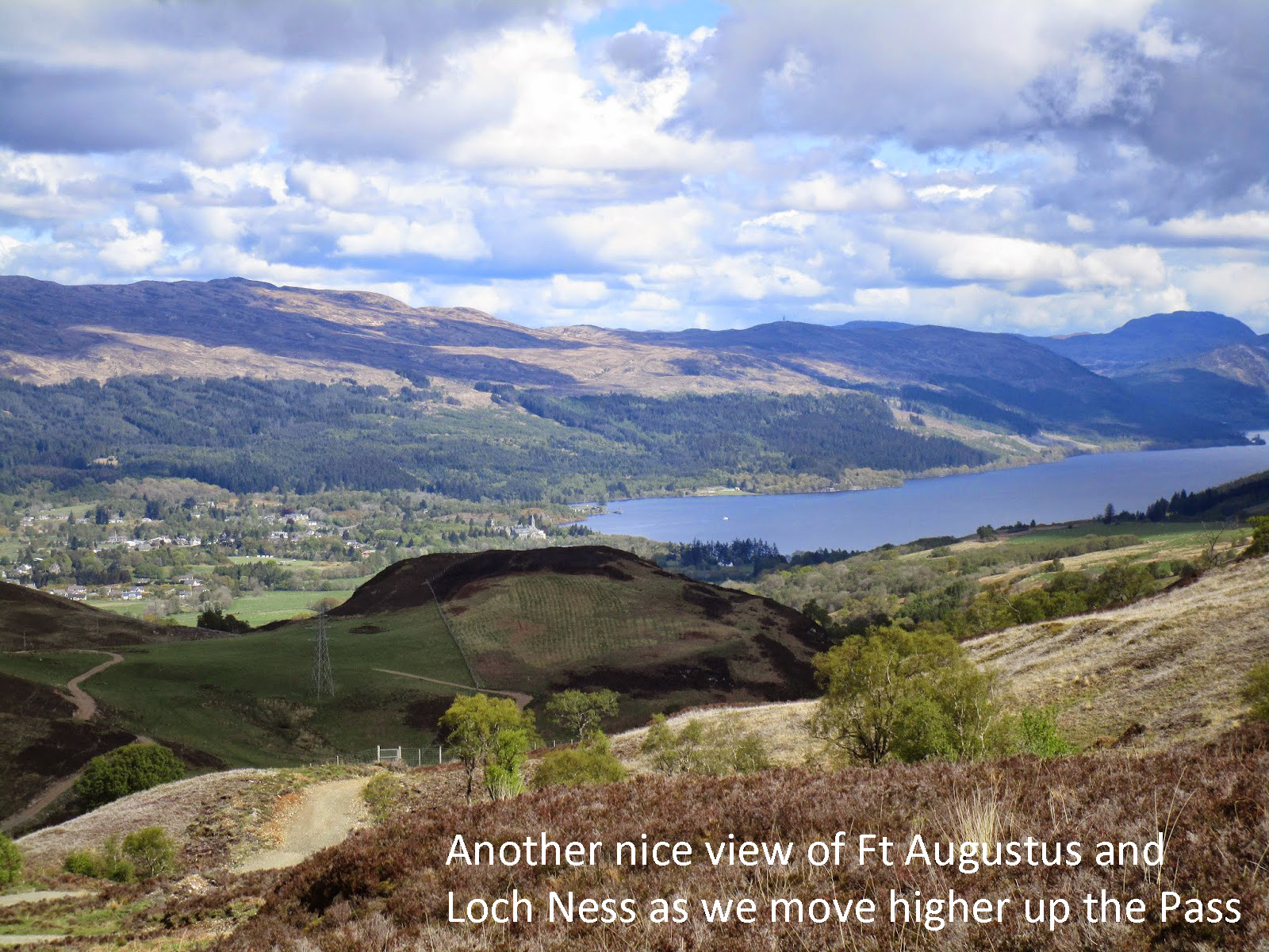
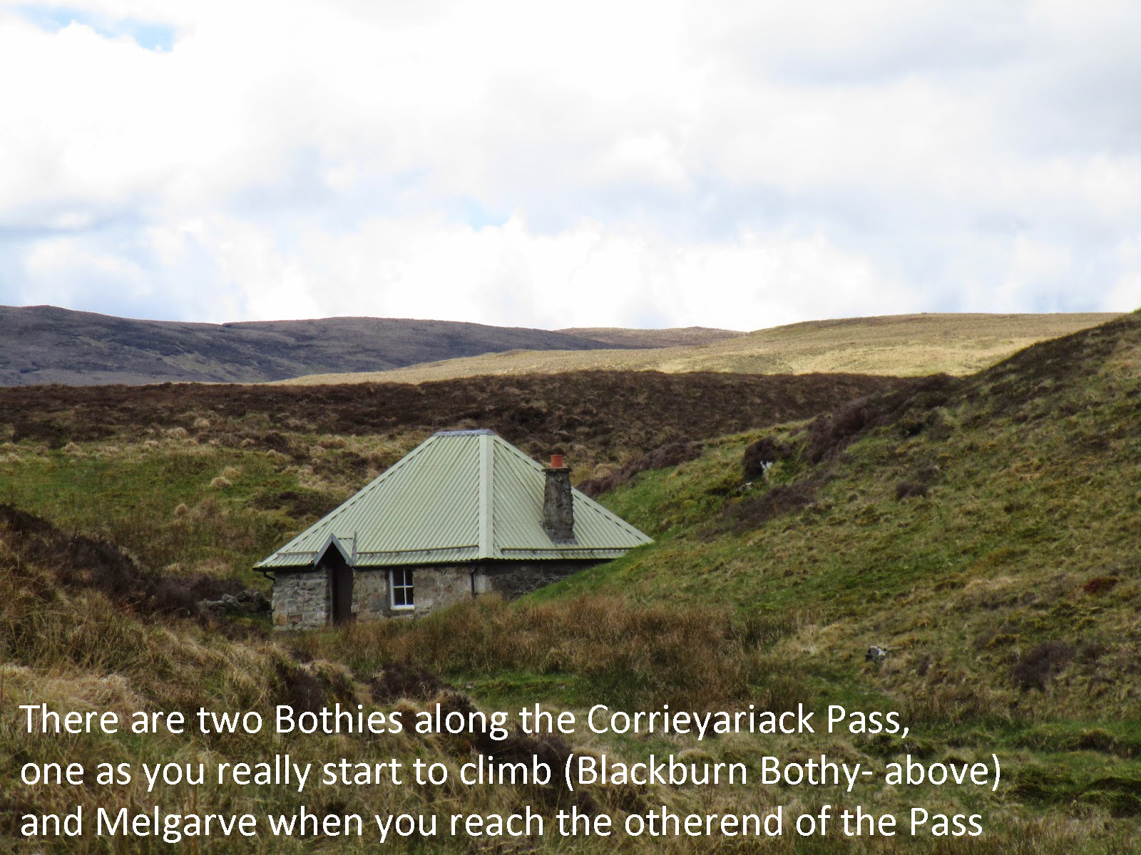
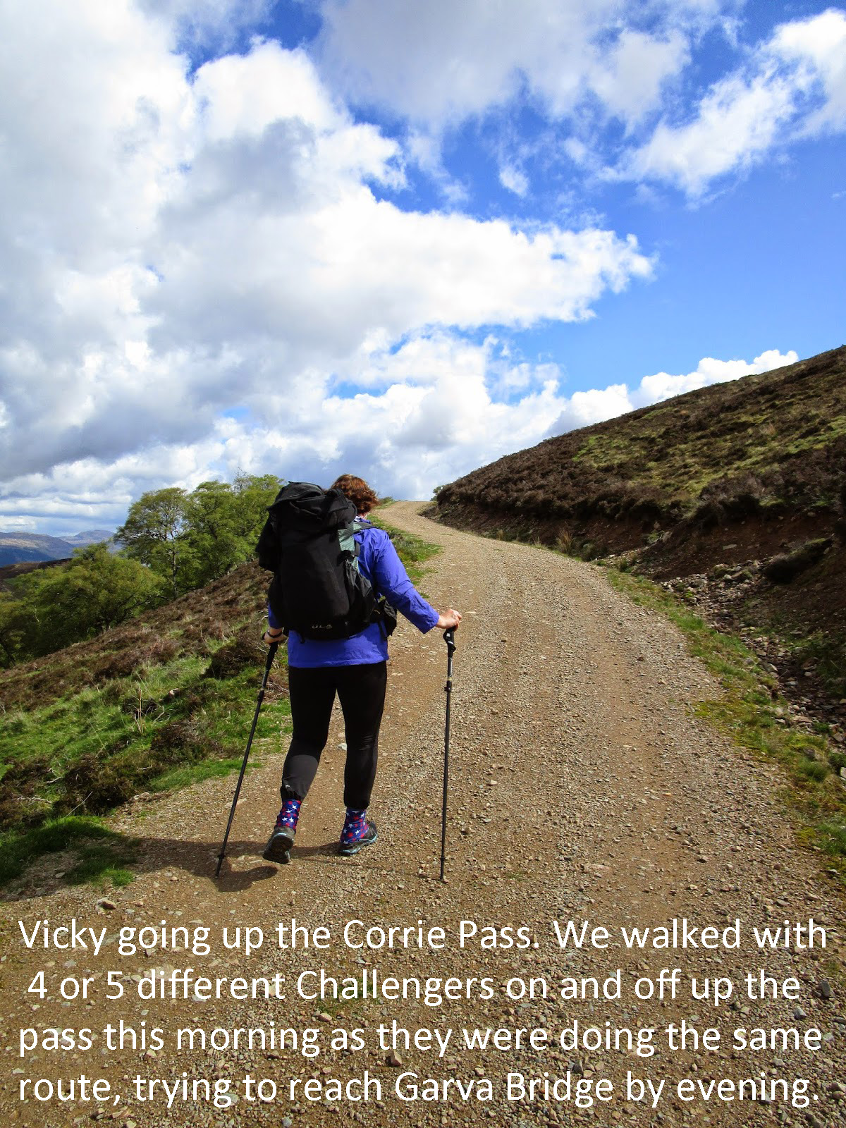
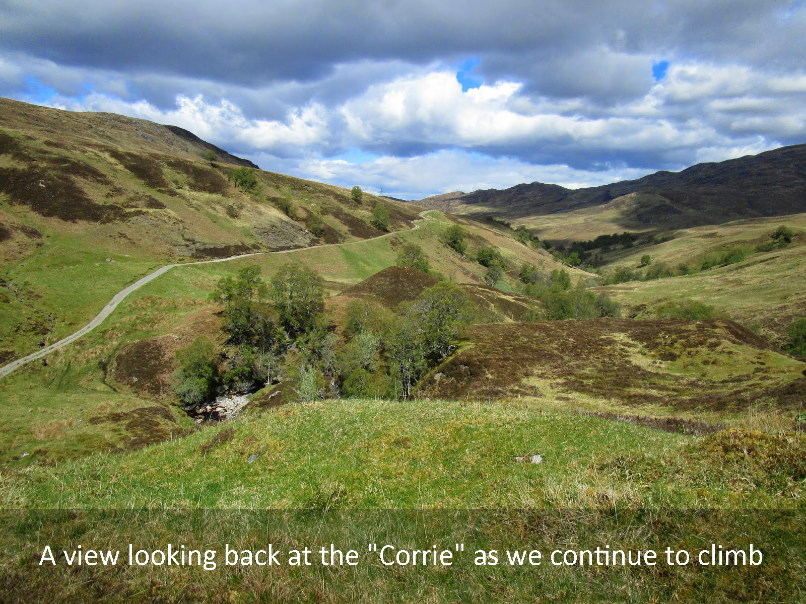
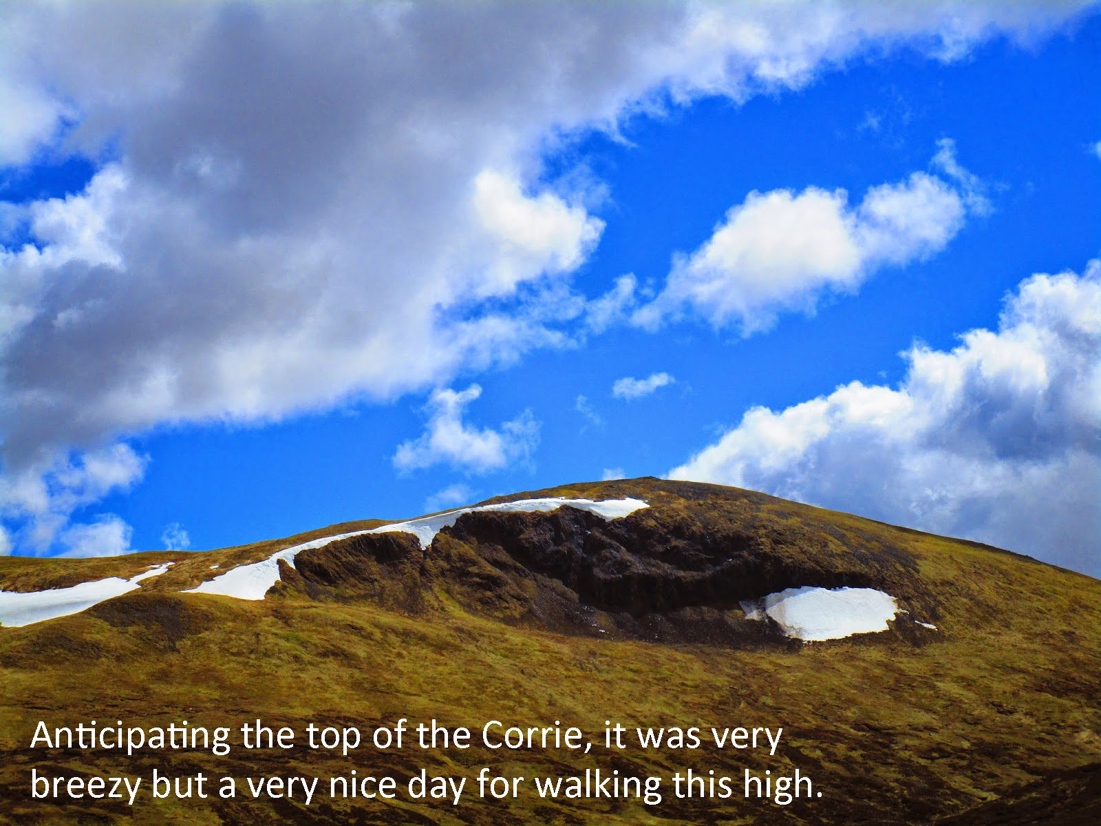
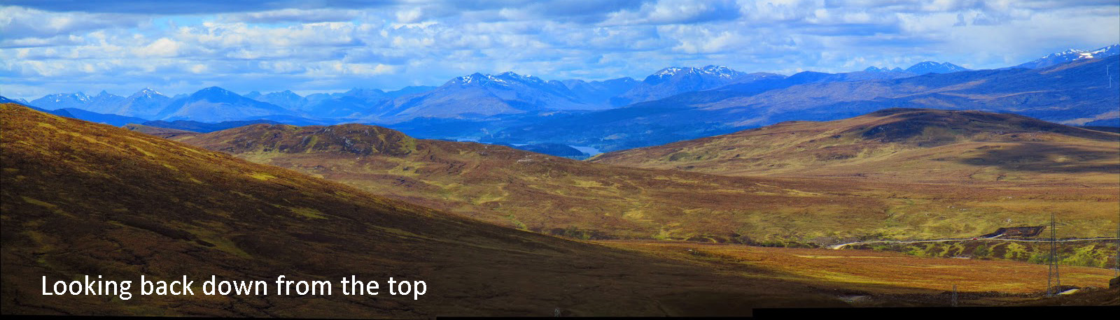
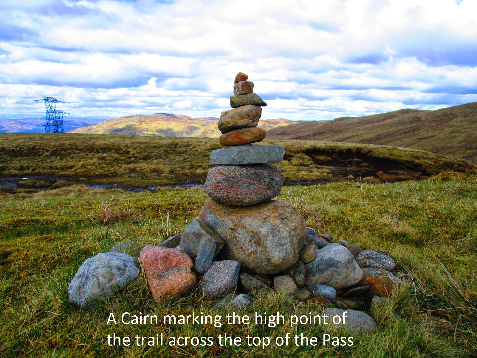
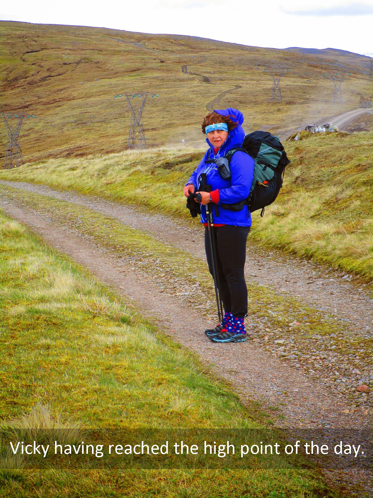
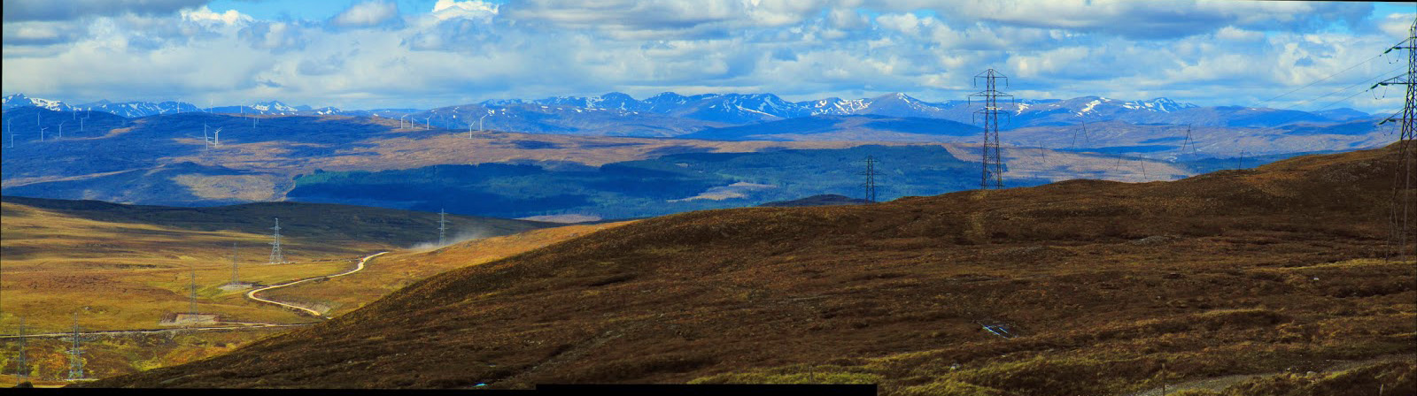
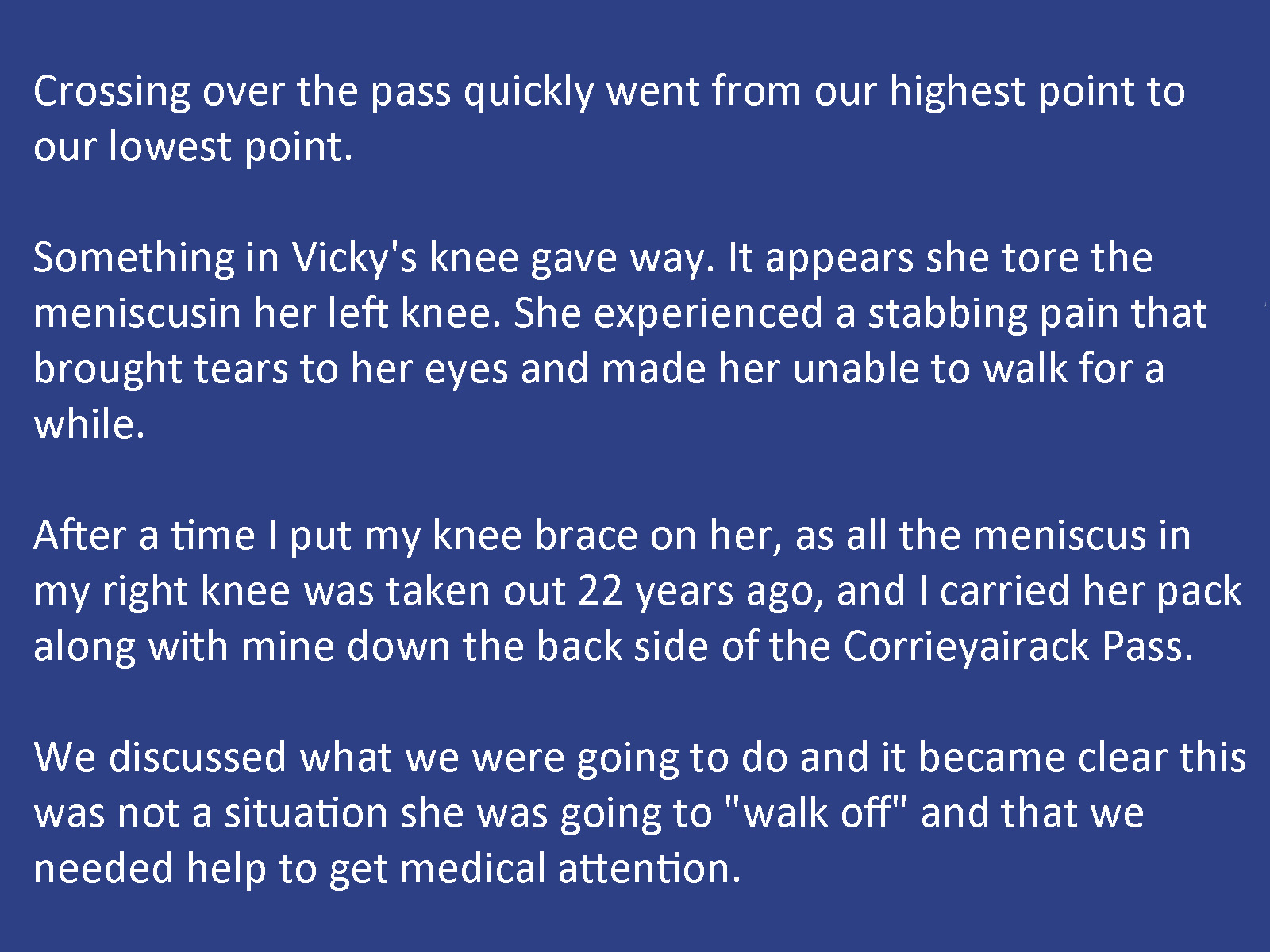
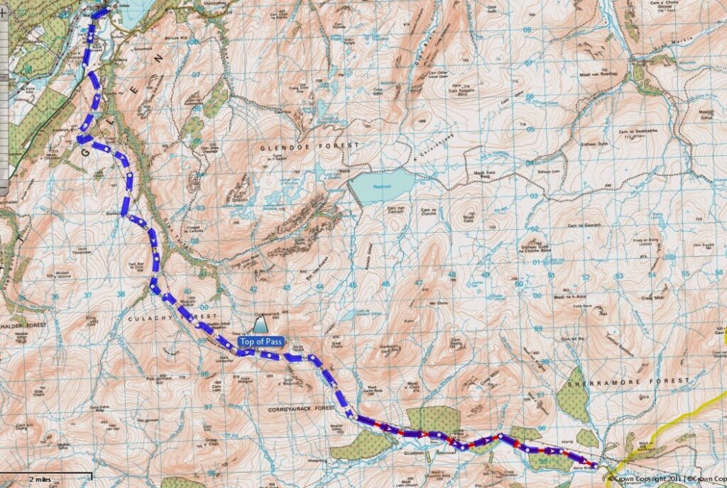
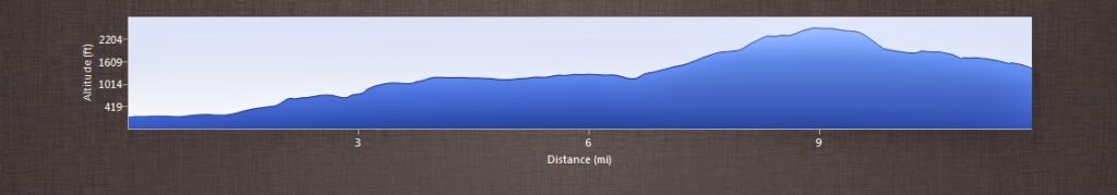
Today was the big day, our walk over the Corrieyairack Pass. Since planning the route this is the high point (in terms of elevation) that we would have to achieve in our walk across Scotland. Missouri’s highest point is 1776 feet, the Corrie while by no means high is at 2500 feet. We were well rested and resupplied from our night in Ft Augustus and the day had dawned as blue sky as Scotland gets!.
Tap or click on the centre picture below, and follow the rest of our day, until … catastrophe …
At the end of the show just click the X to close it and continue
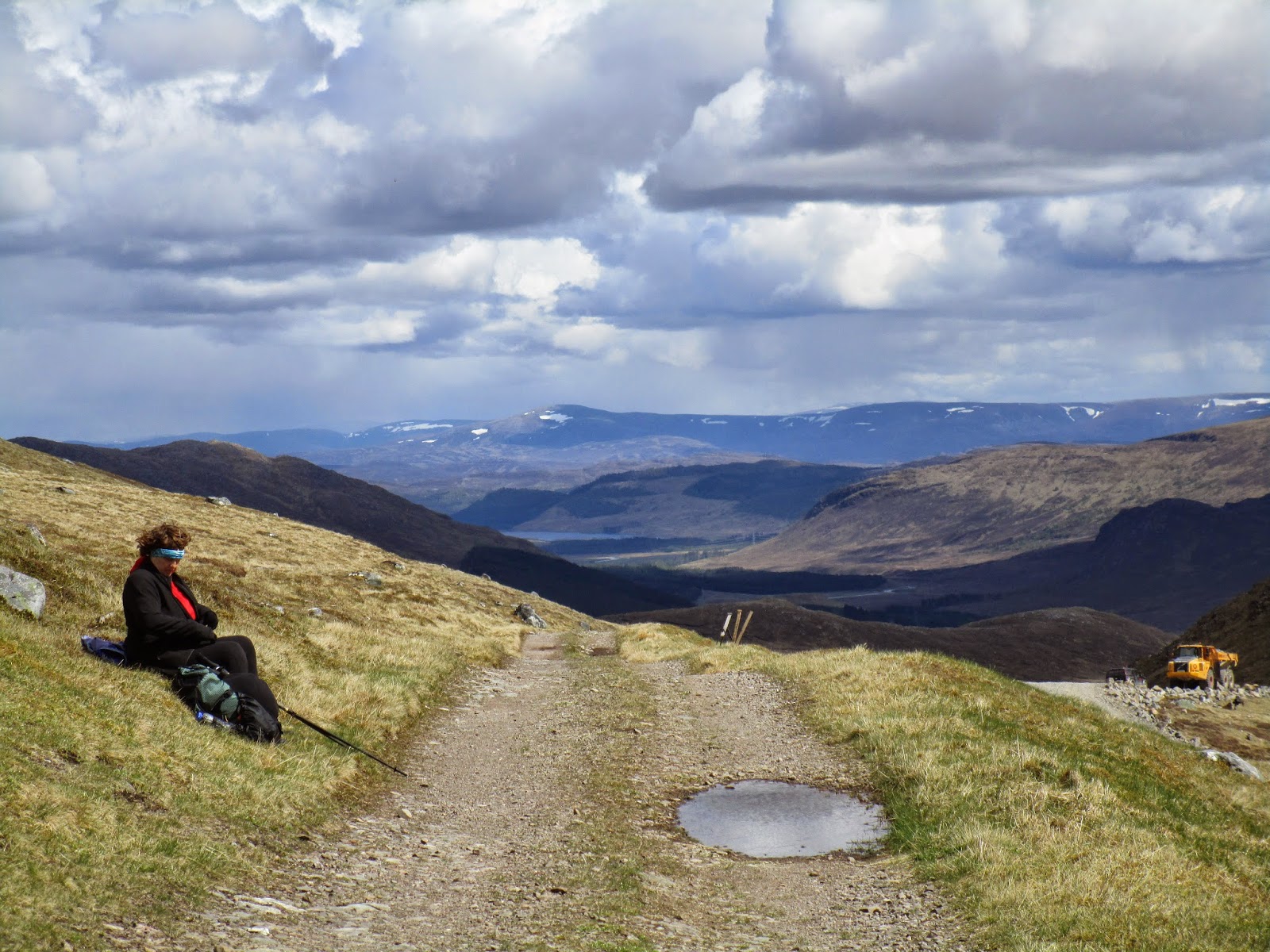
In about 2 miles we saw a construction vehicle doing work on the side of the road and a young man around the truck. I approached him and explained the situation and before I could even finish Stewart had volunteered to drive us to the medical center in Kingussie. This was no easy obligation as we were not meant to be in Kingussie for another day and half and even by car it took well over an hour and would mean his work day was done. Once we arrive in Kingussie we discovered that the medical clinic was closed for the day. We had booked rooms in Kingussie but not for another day.
We told Stewart we would just get a room tonight and sort out the clinic in the morning, but he drove us the extra 20 miles to the medical clinic in Aviemore so Vicky could be looked at right away. He even offered to wait for us, while we were in the clinic. His generosity really made the difference in very difficult circumstance and will never be forgotten by us.
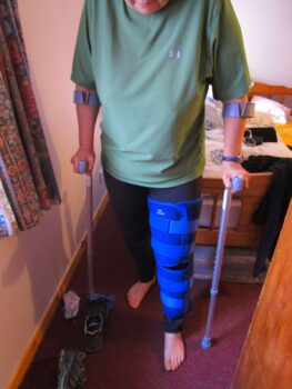
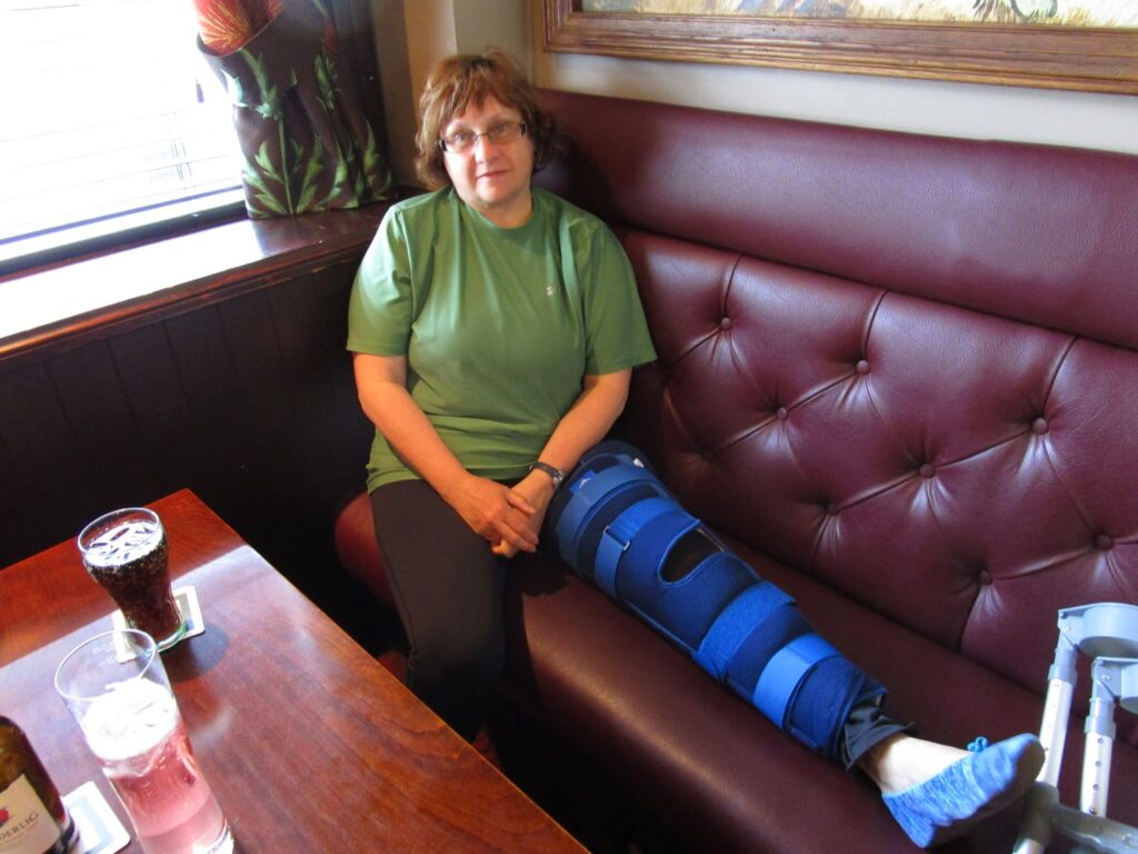
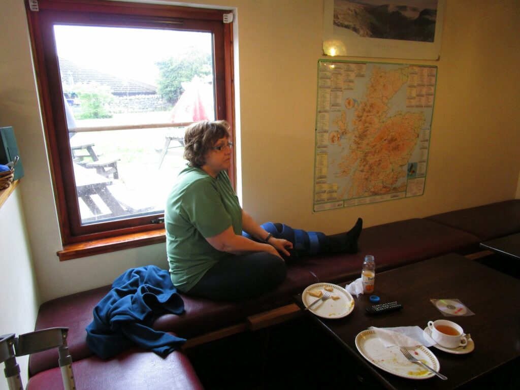
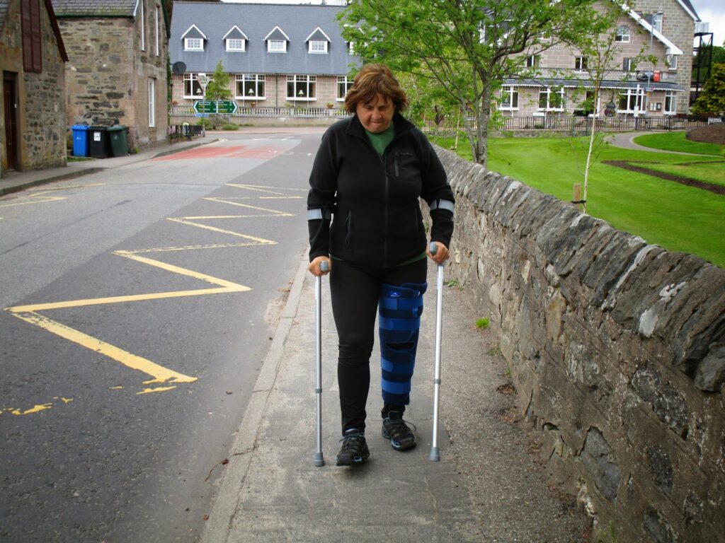
Everyone at the medical clinic was very nice to us, but there was really nothing they could do as it wasn’t their day to do x-rays or other more advanced exams. The doctor examined Vicky’s knee and put it in a full leg brace, gave us some crutches and some pain and anti-inflamatory drugs and paid for a taxi back to our hotel in Kingussie.
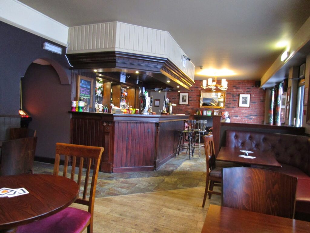
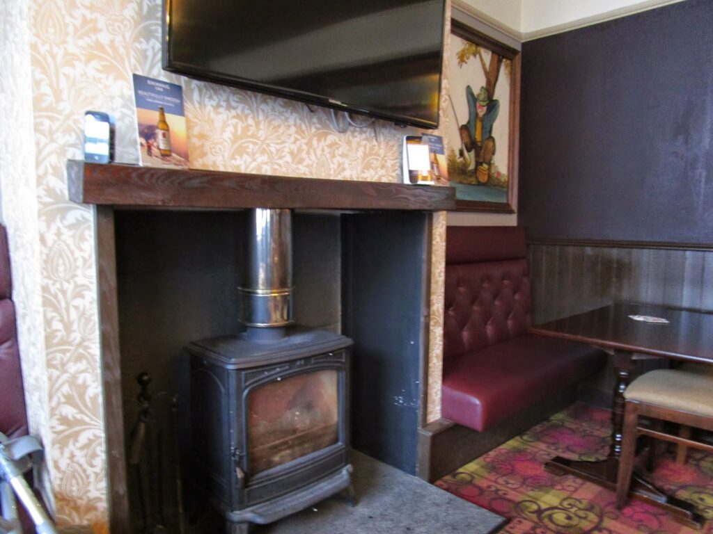
Returning to Kingussie we checked into the Tipsy Laird Bunkhouse and Bar, they were also very helpful and understanding and made room for us for an extra night, we only had one course of action- go to the Bar and start to drink! We only briefly discussed if this was the end of our Challenge, that was a conversation we could avoid for now.
Day 5: 12 miles in 7 hours walking-
The map below shows our intended path from Ft Augustus to Garva Bridge and how close we came. The part in the red is the part we could not make.
TGO Challenge 2014 – Day 6 Kingussie
Vicky’s leg really started to hurt her the previous evening, very swollen, and today she stayed in bed most of the day taking the pain medicine and Naproxen for the swelling. I would also went to the local Co-Op and bought a big bag of ice and would fill up a ziplock bag with ice to put on her knee to help with the swelling.
With Vicky resting it gave me the day to just wander around town. I was hoping to run into some Challengers to chat with, but we were now about a half day ahead of everyone going in our direction and they wouldn’t be getting into town until later tonight. It was a very isolating feeling to be “trapped” in a spot with no real idea of how to move forward.
Kingussie is a lovely small town and I wandered around most of the streets over a couple of hours.
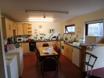
The Tipsy Laird Bunkhouse has a full kitchen and showers for hikers and cyclist that stay there the most. I had a large resupply package sent to us in Kingussie and because we didn’t know if we were going to hike on beyond this point I set it out on the table and shared it with anyone that needed snacks and food. I didn’t notice most people coming and going today, but by evening the box was pretty much empty.
Vicky did get up later in the day and I made her food in the kitchen. I wasn’t really sure about the protocol in the bunkhouse kitchen. the refrigerator was full of food and so were the pantries, but there was no one around, certainly not enough people to belong to all this food. I wasn’t sure if it was available to eat or if I should get my own…
… in the end I went across to the Co-Op and bought our own food and made sure to leave the place cleaner than the way I found it.
Where else to go for the evening but the Bar again. it was a Wednesday so we had the place mostly to ourselves during the day and by the time people started to come in, Vicky was tired so we had gone back to our room.
However we did hatch a plan. At this point I think Vicky was sure that her Challenge was over, so we had some decisions to make. She had even called into Challenge Control and spoken to John Manning. We still had reservations in Braemar for Saturday and Sunday and of course reservations in Montrose at the end of the week. We were determined to make these and keep up with our journey across Scotland even if we were not walking.
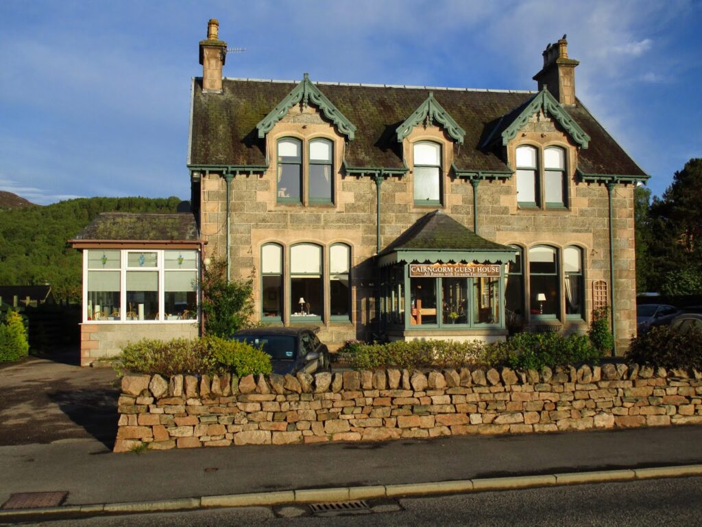
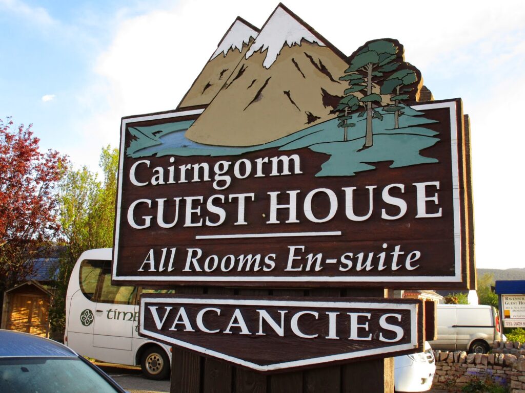
So while sitting in the Bar we decided that for the next 2 days we would go to Aviemore. The medical clinic was there and we remembered that Tweed, a Ceilidh band was played at the Cairngorm Hotel on Thursday nights. So I got online and found the hotel was booked but the Cairgorm Guest House B&B had rooms. Then with some help from the train station attendant I learned I could get a train from Aviemore to Inverness, and then Inverness to Aberdeen and then catch a bus from Aberdeen (the bus and trains are in the same station) to Braemar on Saturday. WHEW!
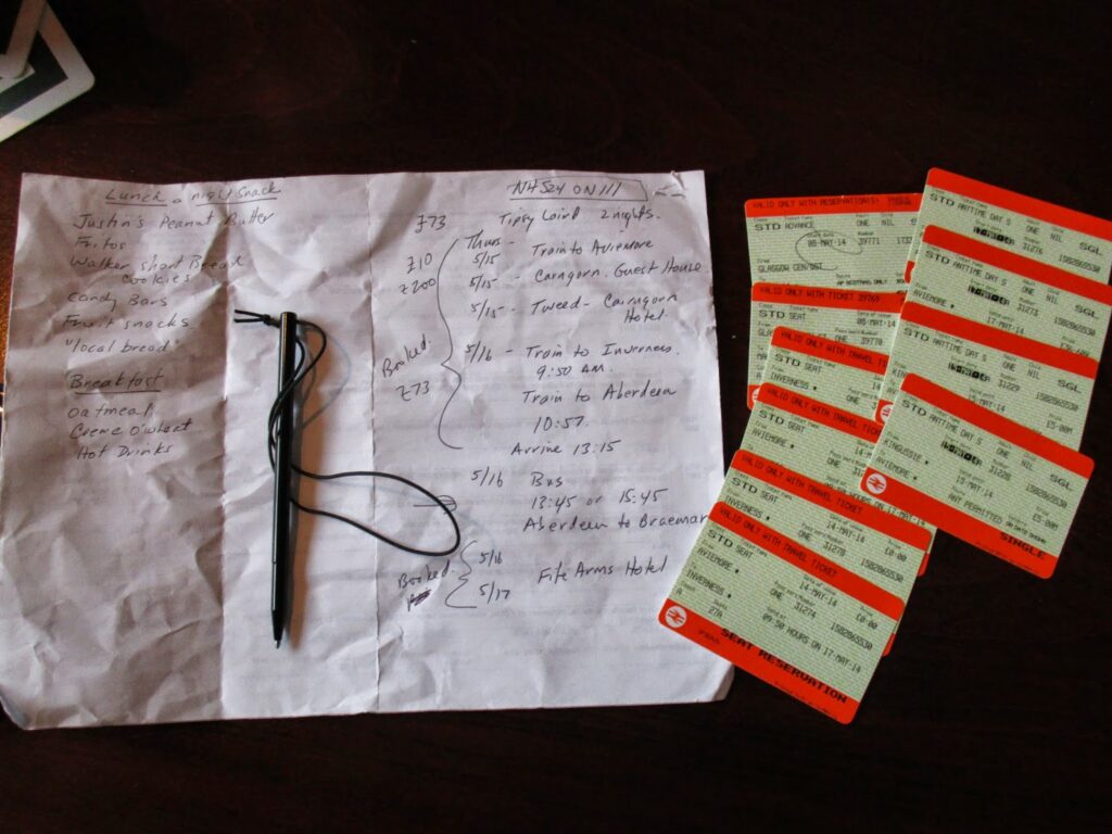
Above you see me working out the route, reservations, and train tickets for all the travel from today, which is Wednesday, to Monday.
Day 6: No mileage except around town.
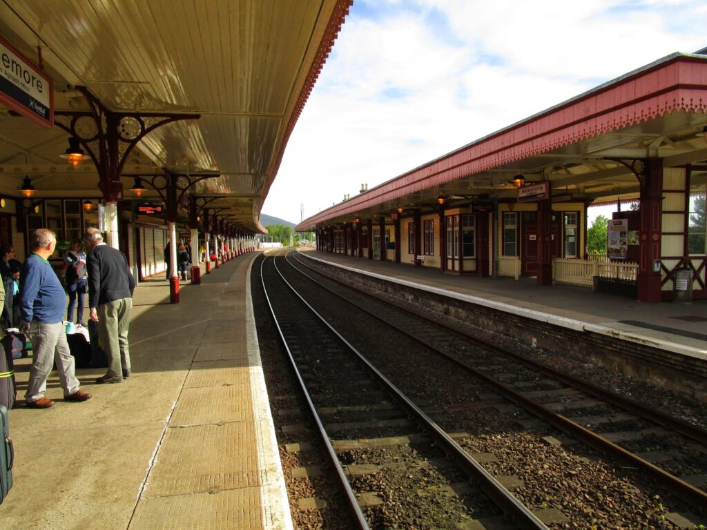
TGO Challenge 2014 Day 7 and 8 – Aviemore
True to my word, I told Vicky that it didn’t matter to me whether we finished but I could see that by Thursday as we prepared to take the train to Aviemore that it did matter to her. She had been working out for 6 months to prepare for this trip and even though she was still in a great deal of pain, she was thinking about how to continue with the Challenge.
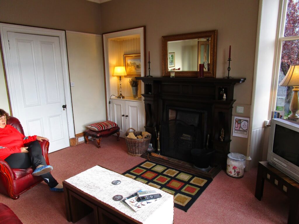
The Cairngorm Guest house is just a few minutes walk from the train station in Aviemore. We got Vicky situated and got some more ice on her knee to rest until dinner time and the Tweed concert. This is really a lovely B&B and Peter and Gayle could not have been nicer too us in making sure Vicky was comfortable.
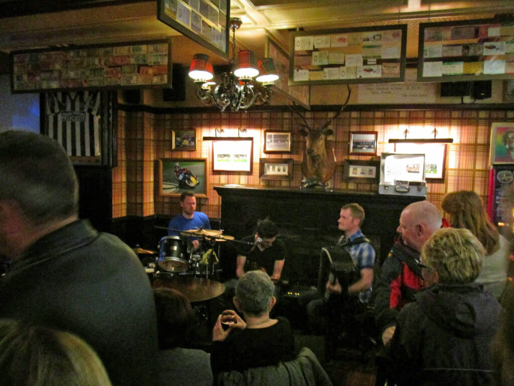
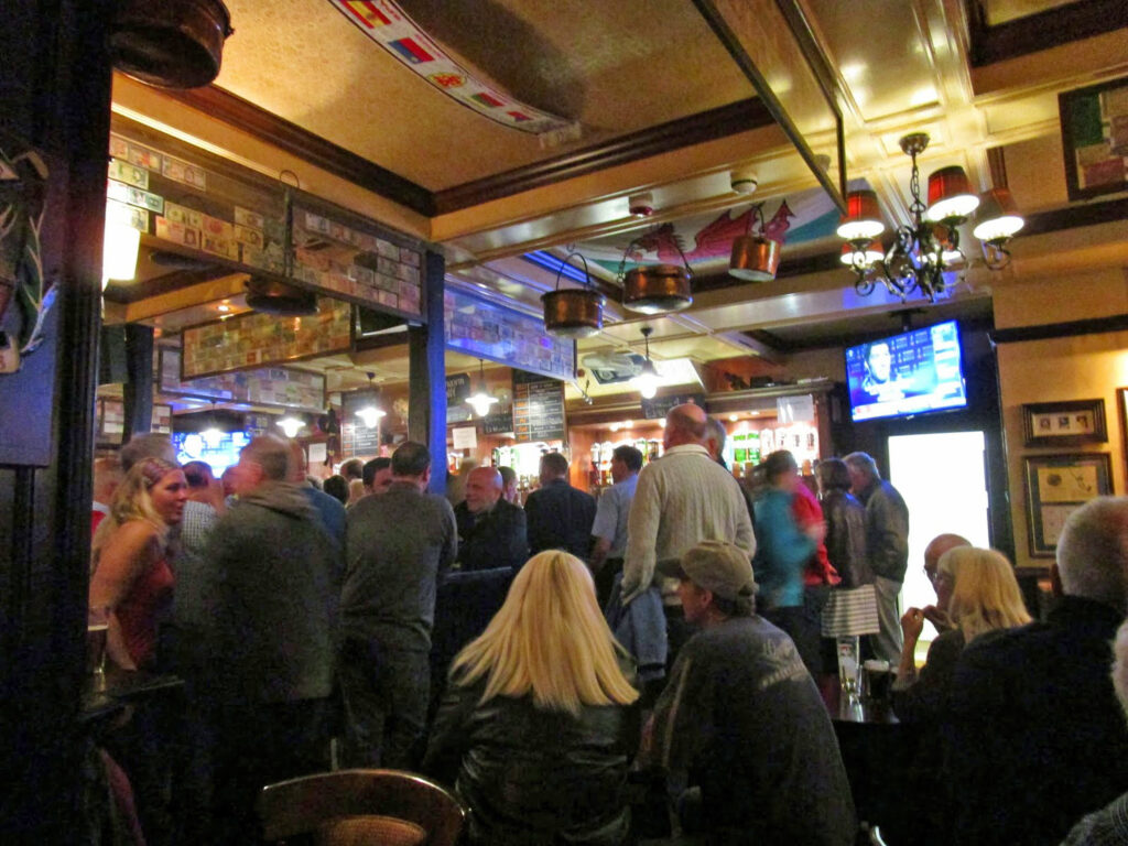
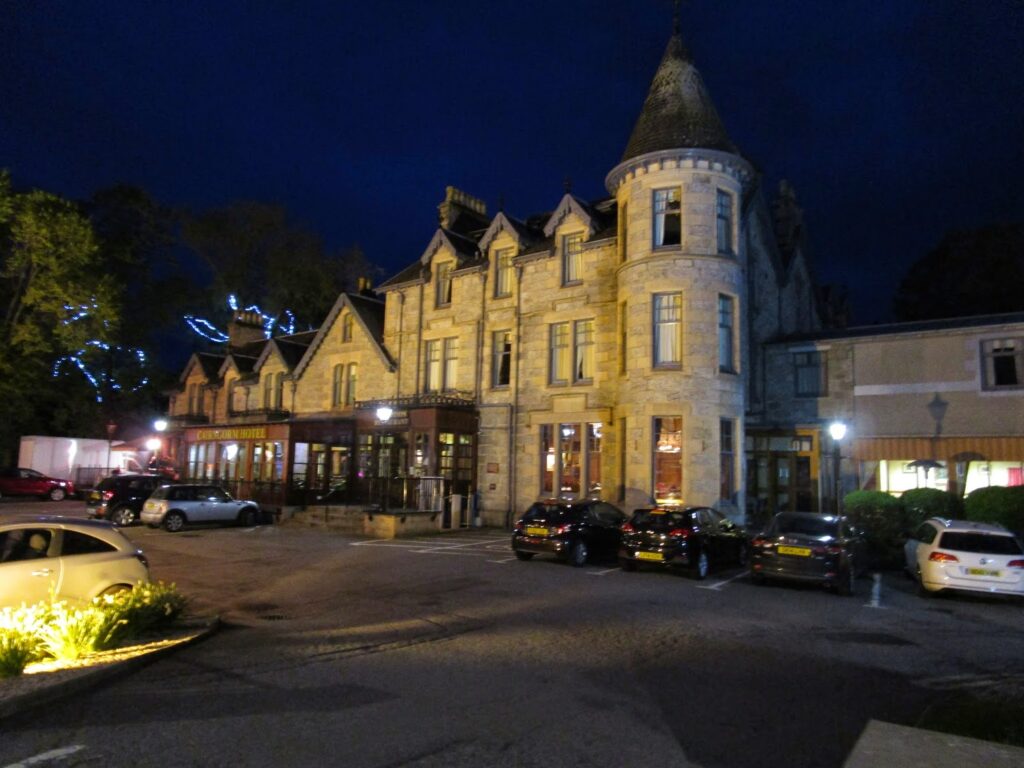
The Cairngorm Hotel (above right) is the most well known establishment in Aviemore, located directly across from the train station. We went to have dinner first and then stay in the bar for the concert.
Tweed started up at 9:30 and played till 11:30 pm. The crowd was packed into the Cairngorms Hotel Bar and was really enjoying the music. We sat next to Brian Aspinall (72) and his two sons, Brian was making his 10th Challenge, a milestone, and his two sons had come on his first Challenge and were coming along on his 10th.
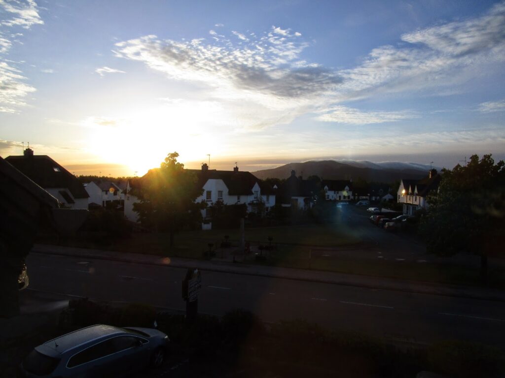
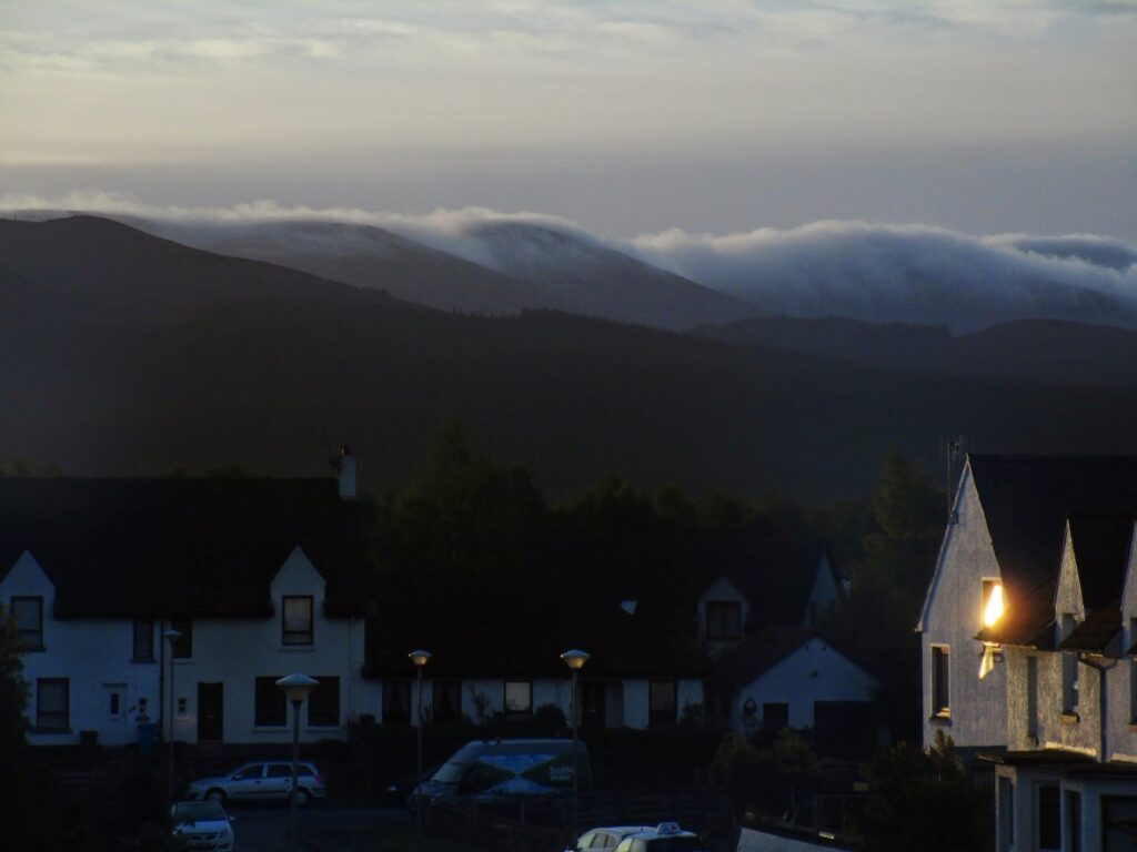
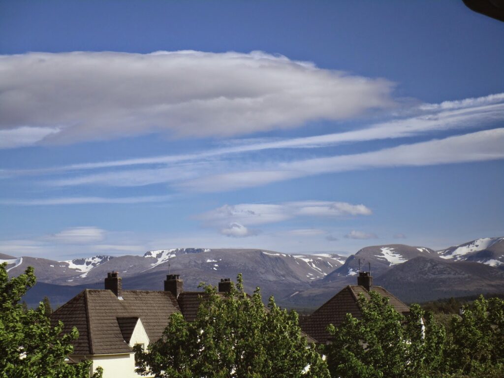
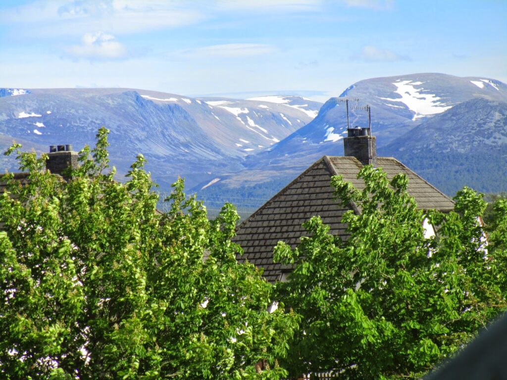
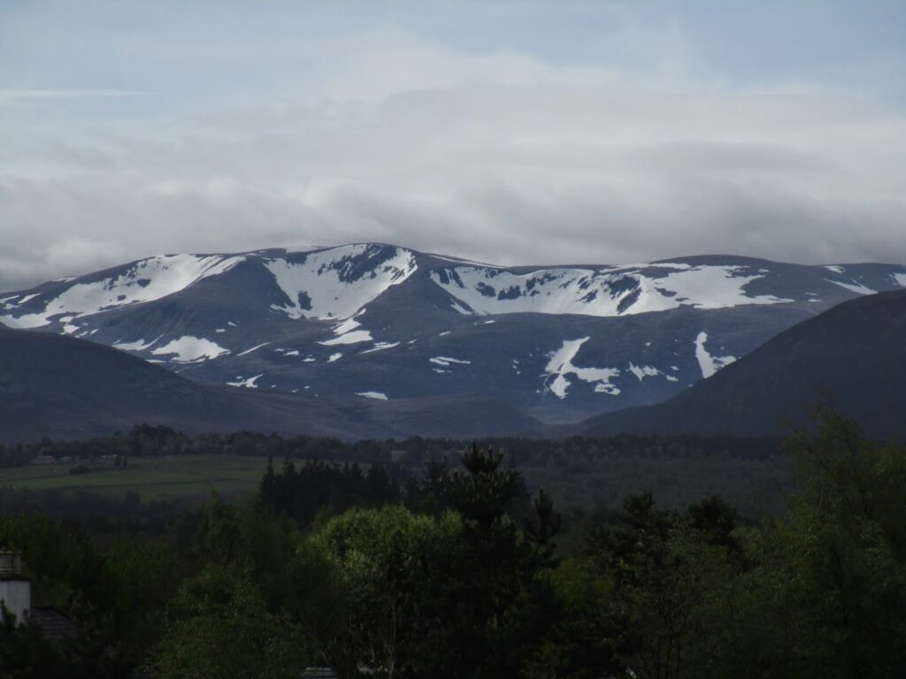
The next day I was up well before dawn and watched the sun rise from our hotel room. This is the day we would have been walking in the Cairngorms and it could not have been a more beautiful day. The early morning mist (fog) was rolling over the hills but burning off quickly as the sun was coming up.
Vicky felt better today with more rest, ice and most of the remaining drugs we got from the clinic. She began to talk about trying to “finish on her feet” as she called it. She even called John Manning and told him that we would be starting up again from Braemar on Monday! He must have been impressed as shortly Vicky got a Facebook friend request from John….
I told her that I would be the ultimate decision maker of whether I thought her knee could take anymore walking but we both agreed that if she had done any real damage to the inside of her knee then she wouldn’t likely hurt it any worse by walking as long as it didn’t cause her severe pain. Vicky works around doctors every day and we have enough doctor friends to know what they were going to say and do when we got home anyway.
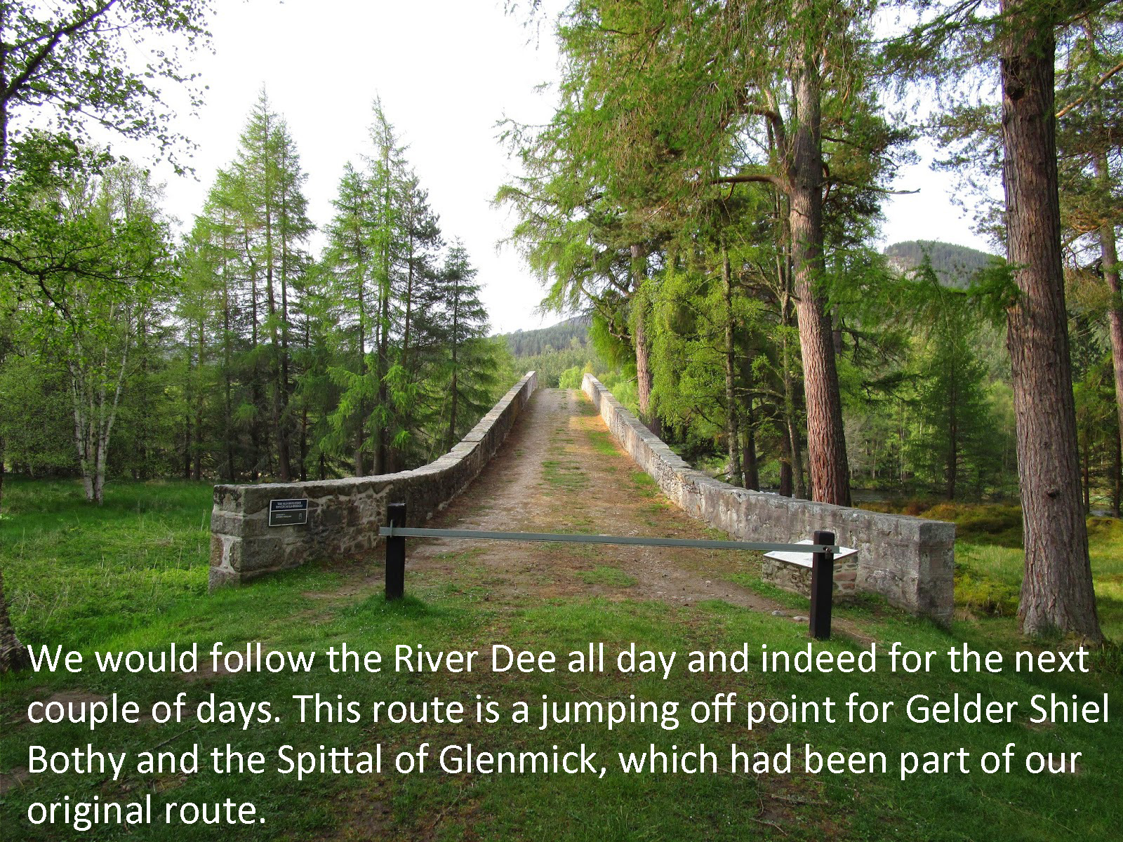
With Vicky deciding she wanted to walk on, it was up to me to figure out a new route that would be as easy as possible for her to do without putting too much stress on her knee. Our intended route was originally through the Spittal of Glenmuick to Shielin of Mark Bothy to Tarfside, and that would be too much stress on Vicky’s knee. I did email John Manning and he sent back an excellent route suggestion of Ballater to Deeside Way and then the Fetteresso Forest finishing in Stonehaven. This seemed very doable.
We visited the Mountain Sports shop in Aviemore and got Vicky a smaller knee brace meant for walking, and the correct maps for our new route and we returned the full leg brace and the crutches to the Aviemore medical clinic.
So we would be off to Braemar in the morning and with two more days of rest on Saturday and Sunday hopefully Vicky would be ready to carry on.
Day 7-8: No miles walked
TGO Challenge 2014- Day 9 -10 Braemar
We got an early start on Saturday morning and Paul at the Cairngorms Guest House was kind enough to make us breakfast a half hour before they normally serve the first sitting as we needed to catch an early train to make all our connections today on to Braemar.
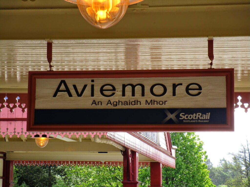
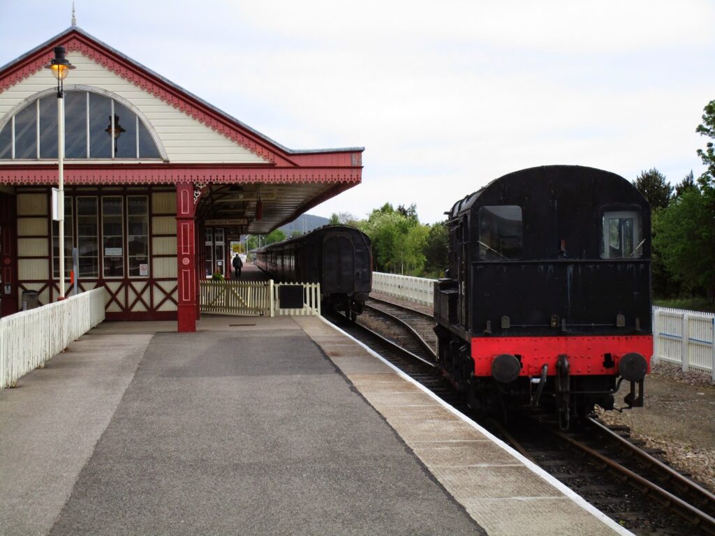
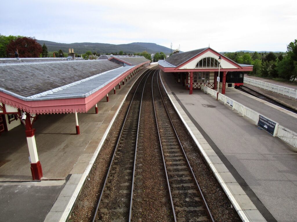
The Aviemore Train Station is very nice and clean and we enjoyed getting there in time to people watch a few trains stop and go before ours. There is a steam train service that is run out of Aviemore into the Cairngorms for sight seeing. I got to watch that train come in and depart while we were waiting.
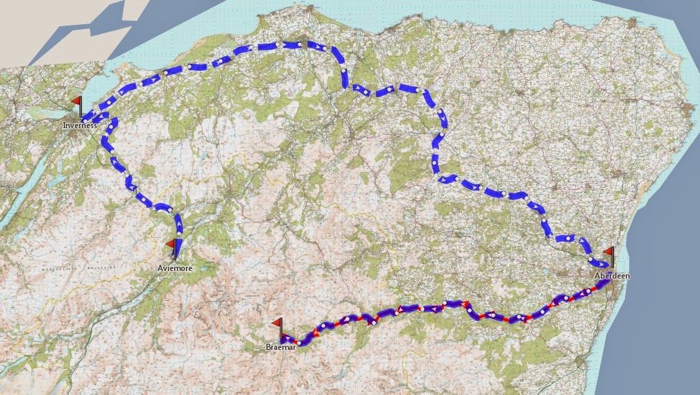
Above is our route for today. We are leaving Aviemore and will travel by train first to Inverness, where we will make a connection to a train for Aberdeen (in blue) and then in Aberdeen we will catch a bus back to Braemar (in red) in the center of the Cairngorms National Park.
Arriving in Aberdeen the bus terminal is in the same building complex as the train station making the connection easy and quick. We only had 20 minutes to make the connection, but the train was right on time, the bus however was 15 minutes late.
HAHA- since this is all fabulous service compared to buses and trains in the US.
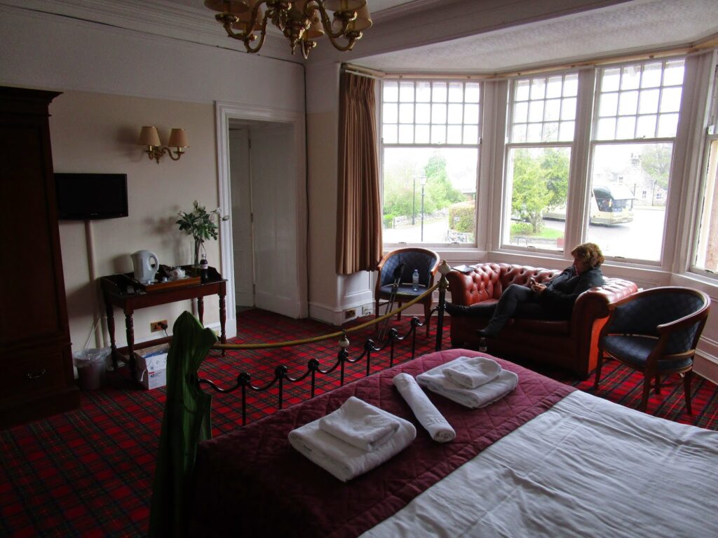
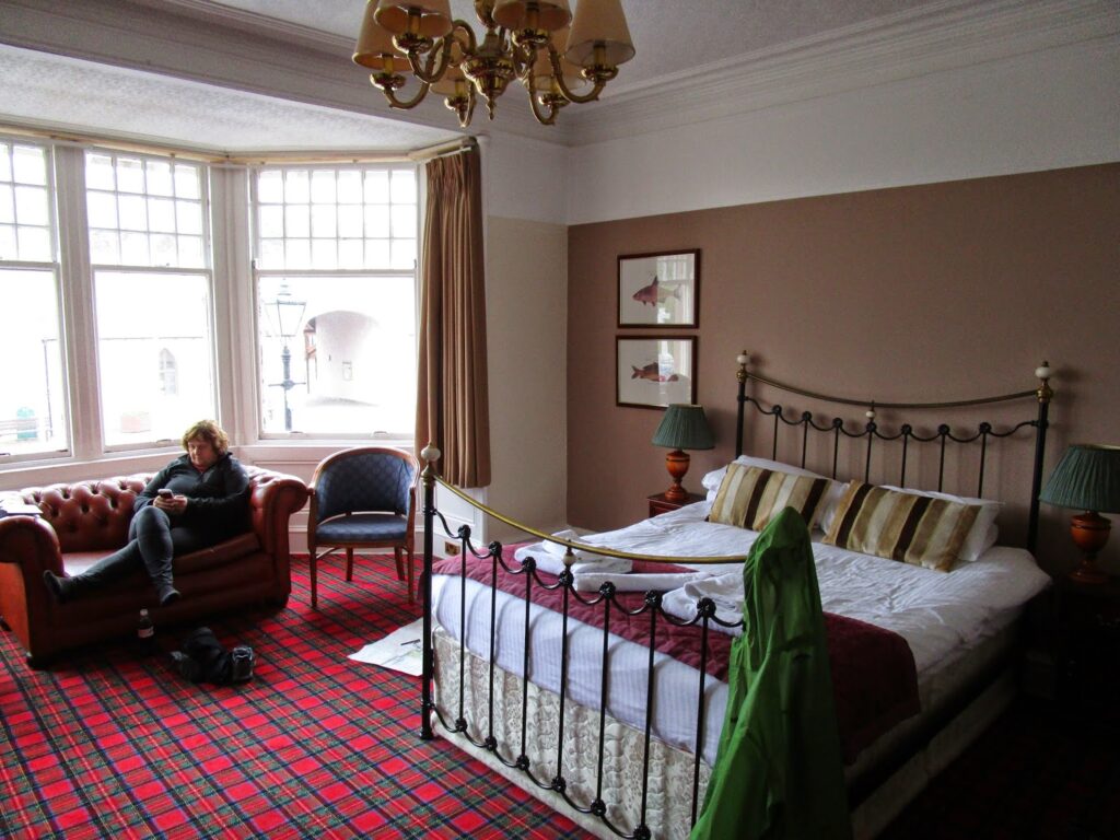
Arriving in Braemar I had booked us into the Fife Arms Hotel. This was already a planned stop for us during the Challenge. I planned a rest day here as well, hence the reason we would be here Saturday and Sunday. Unless someone saw us get off the bus, we are arriving just as planned for our challenge itinerary.
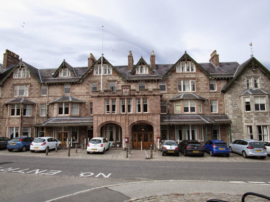
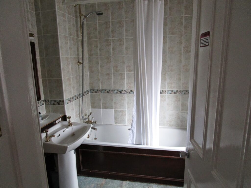
The room was quite luxurious and large. Vicky got her feet up right away and I got some ice from the bar to get it going on her knee. Vicky also took advantage of the first bathtub we have gotten in Scotland, to soak her knee and just plain relax.
Vicky stayed close to the hotel and rested the knee while I went out and visited the Braemar Mountain Sports shop and got the resupply package that I had sent to the Fife Arms.
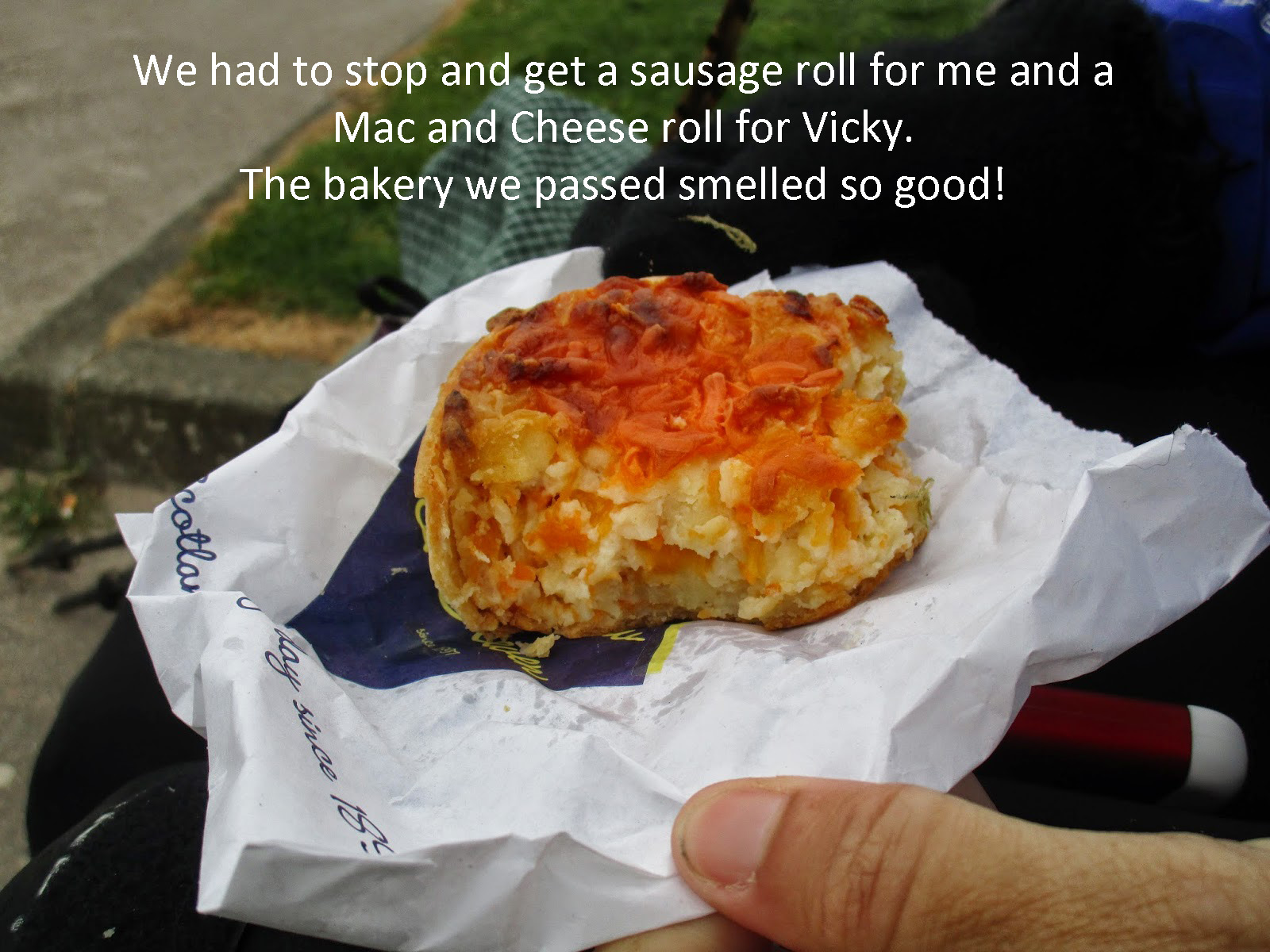
It again had far too much food in it for what we had been eating and also because we had adopted the custom of getting fresh food for lunches and if we didn’t eat lunch then using it for dinner.So I took the majority of the food to the outdoor shop to have them turn it into a hiker box, where anyone could take what they wanted for free, and then I went by the local Co-Op to check on breads, cheeses and breakfast pastries which have become one of our favourite food discoveries in Scotland- sausage or bacon with egg rolls (I love the kind where everything is actually cooked inside the puff pastry shell).
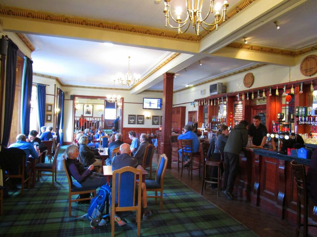
The bar was full as we went down to have a drink and meet other challengers that were arriving. We wanted to also watch the finals of the FA Cup match as we have been following English Football all year on TV in the states. Unfortunately for me, I sided with Manchester United…..
.
Sunday we got out and did some exploring around Braemar and went to the shops to look around , but I still had Vicky wear the new knee brace while she was up and keep icing her knee several times during the day.
We wandered around town and went into the Bakery for lunch and gave Vicky one more day to get rested. We spent the day discussing how she felt and while I am sure her knee still hurt she had built herself up and there was nothing that was going to stop her, including me, so I agreed that we would give it a try.
The route for tomorrow was on the long side at 17 miles but flat and accessible if something should happen, so off we will go….
Day 9-10: No miles walked- looking forward to starting up again tomorrow.
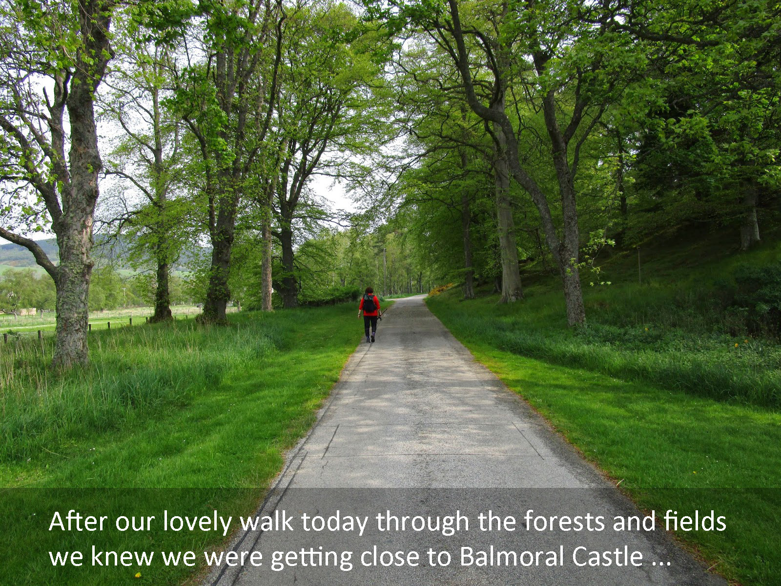
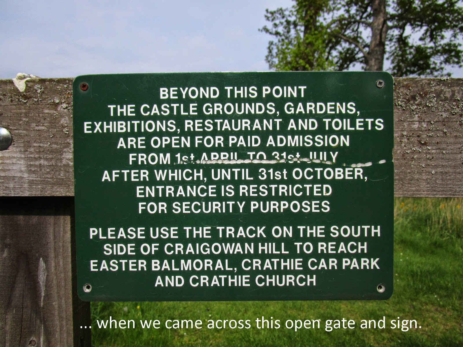
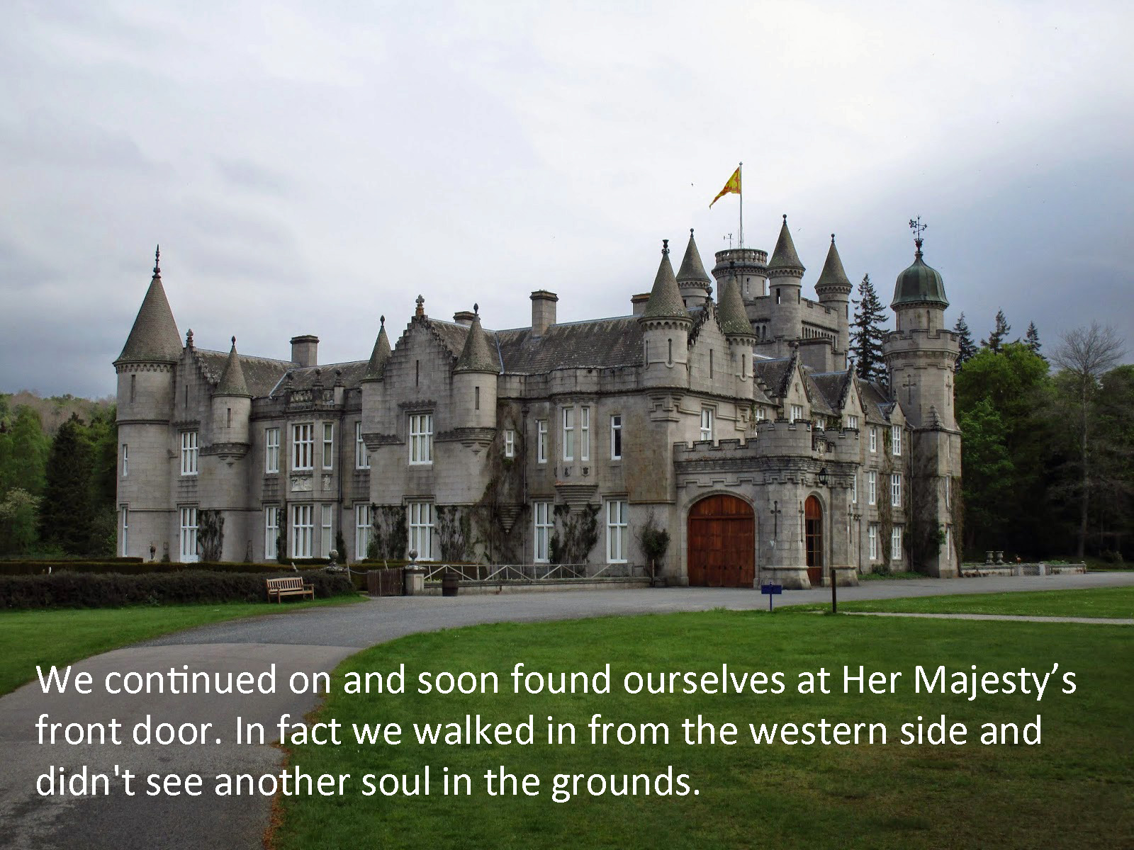
TGO Challenge 2014 – Day 11 Braemar to Ballater
We are back on the trail! Anyone who has ever been forced off the trail by injury knows the anguish of being off the trail and the excitement in being back walking again….
For me, I just needed to put in miles and was glad to stretch my legs, Scotland is a beautiful country but I didn’t come to see it on a train or bus or browsing the street shops around towns. I wanted to be out in the woods. For Vicky I am sure it was a great relief as well to be walking again, but also to prove she could finish what she started.
However I was still not going to just let her strap on a pack and start walking as if nothing had happened. She had on her knee brace and I took everything out of her pack – she protested but I did it anyway! Giving me about 33 pounds (still a very light load compared to some of the packs I saw on the challenge) and her about 5 pound total with a 1/2 liter of water.
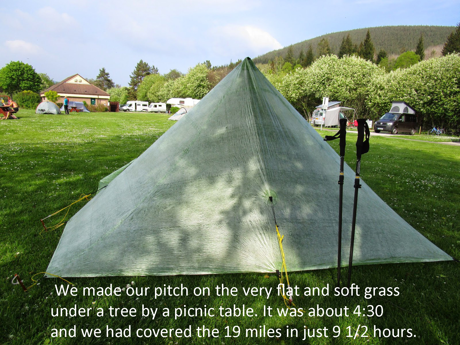
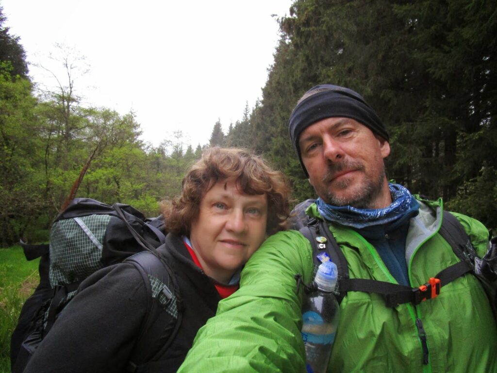
Our goal today was ambitious and Vicky knew it. 19 miles from Braemar to Ballater. the walk was not strenuous but having now been off her knee for 5.5 days, I warned her it might be like starting over in terms of stamina.
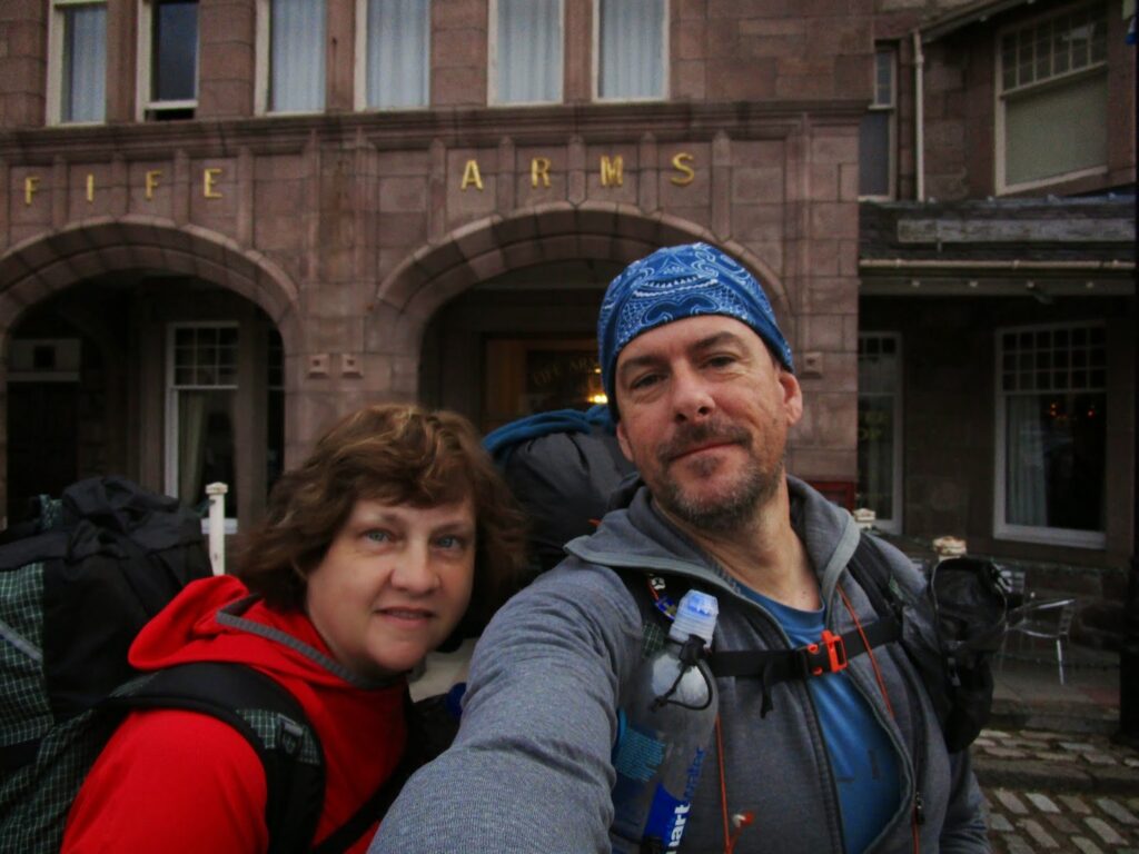
We are ready to go outside the Fife Arms Hotel that was a very pleasant way to spend the last couple of days rest (above). We started out very early, out the door by 7 am, as I knew it might take us a long while to cover the 19 miles and several other challengers were coming on the same route today (As I will explain later).
The day before, as I was wandering around town, I had scouted out the start of our hike today, and that is where the slideshow below begins …
Tap or click on the centre picture below, and follow our route to Ballater. Spoiler alert – we made it!
At the end of the show just click the X to close it and continue
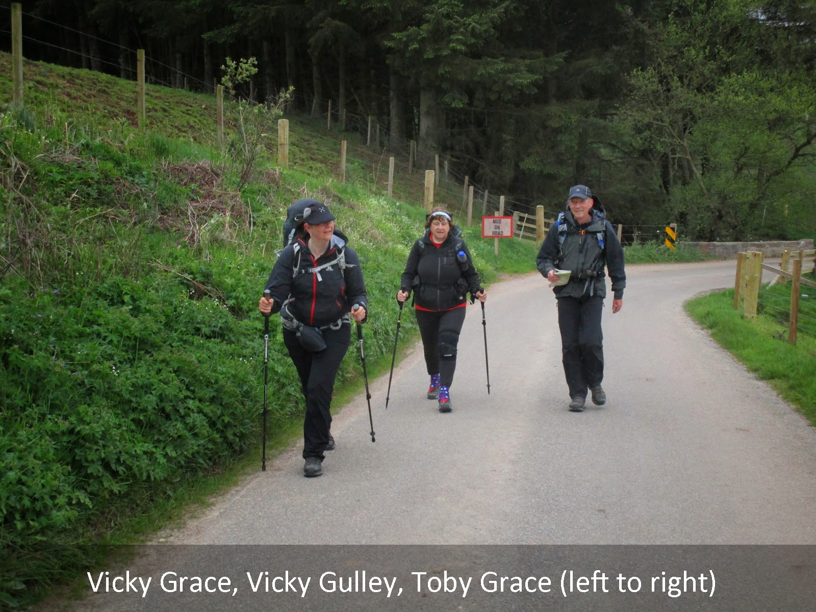
So the reason I mentioned we left Braemar so early is that Vicky and Toby (the younger) were also coming our direction and I was determined to not have them pass us today, since they said they would not be leaving Braemar till around 9 to 9:30. While I certainly didn’t push Vicky with any pace today, we did arrive a couple hours ahead of them.
It was a long day and considering the monster day Vicky put in to get back on track a great day for us on the Challenge. We shared a picnic table dinner with them and chatted about the day.
Day 11: 18.7 miles in 9 1/2 hours
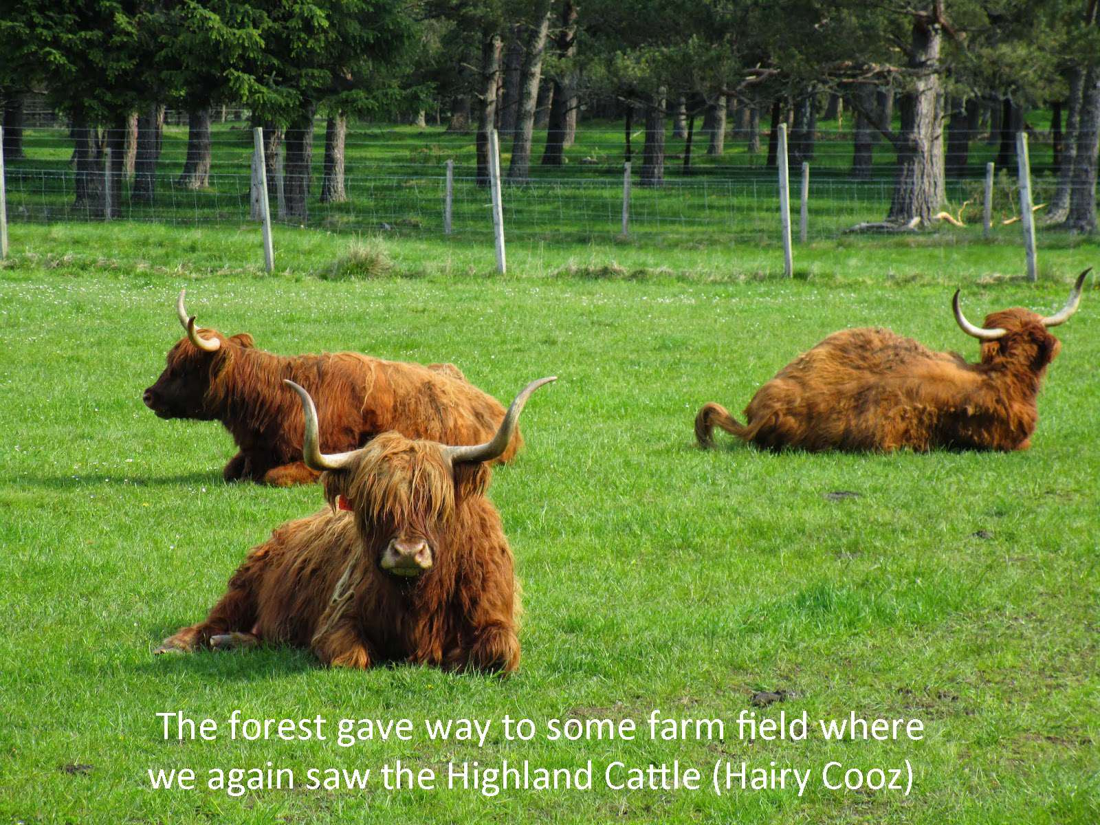
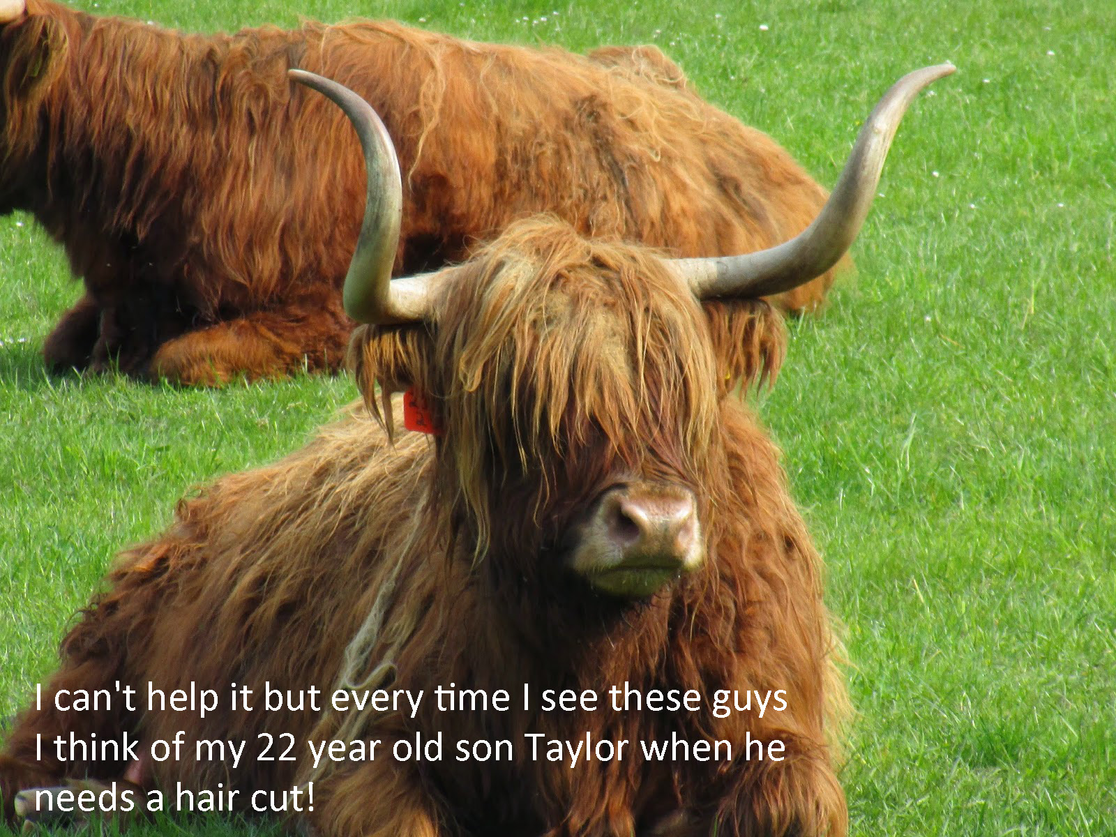
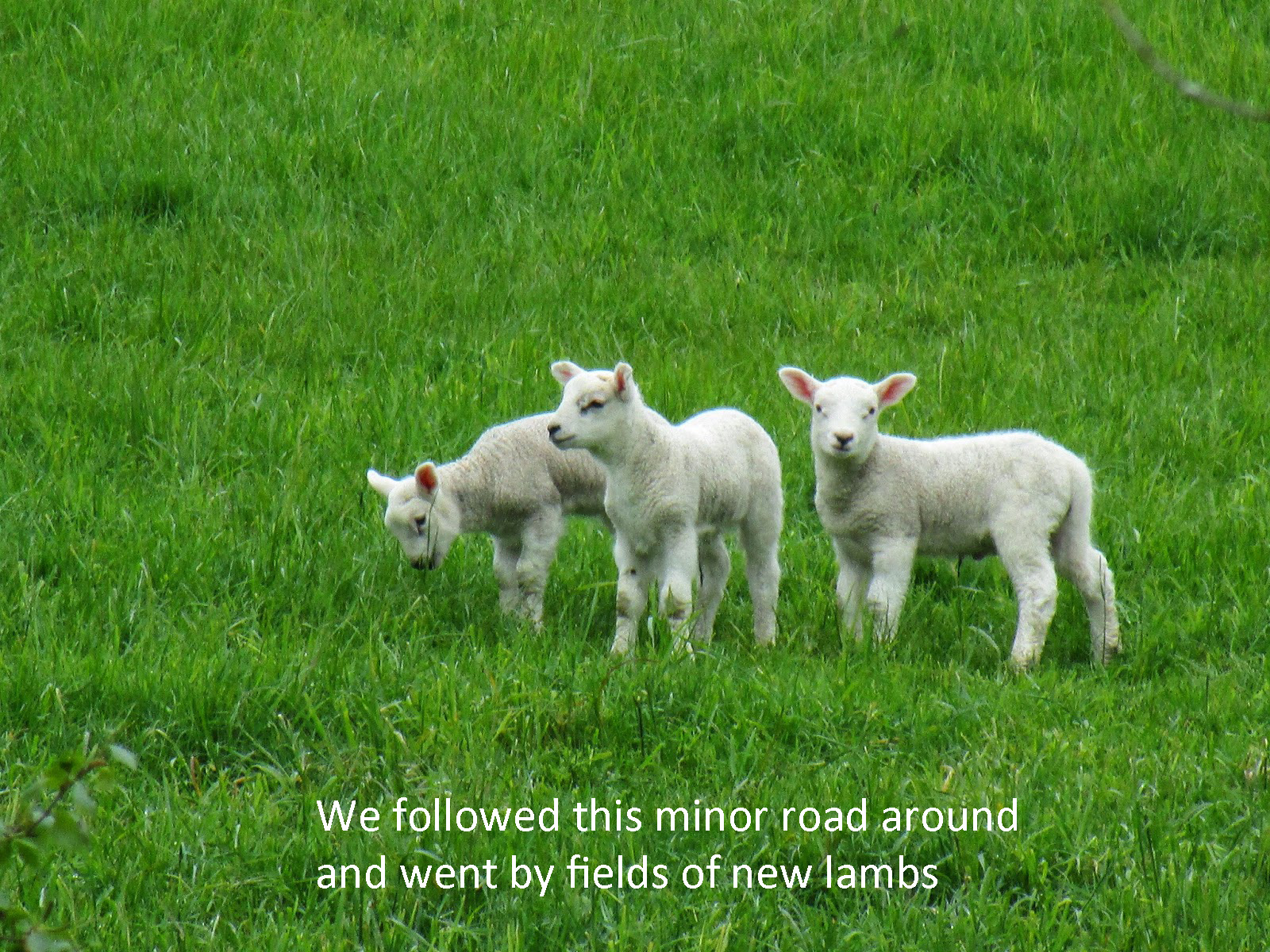
Animals: Slugs, Hairy Cooz, Deer, Sheep, Lambs, Tourists
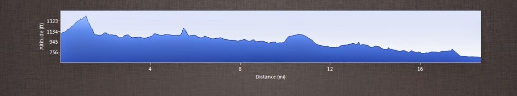
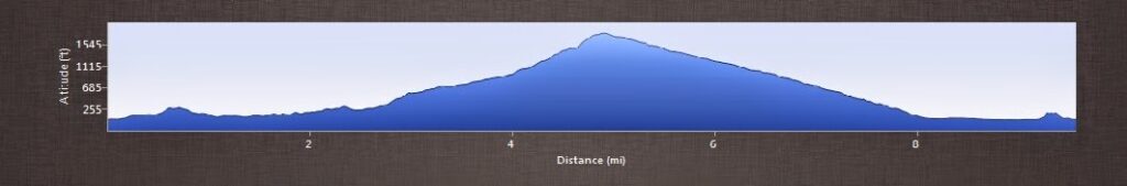
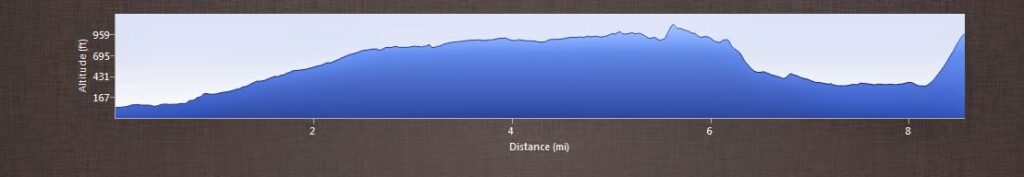
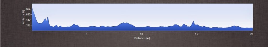
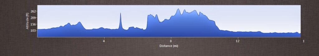
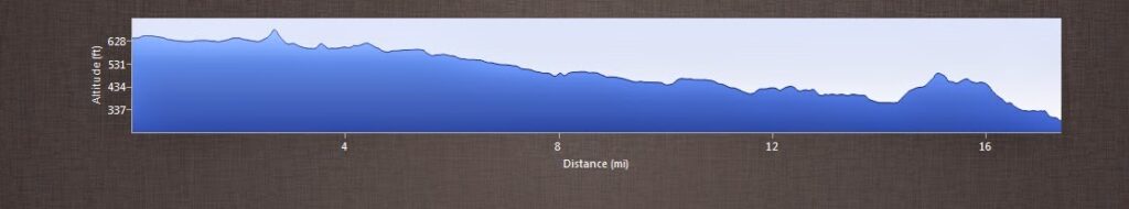
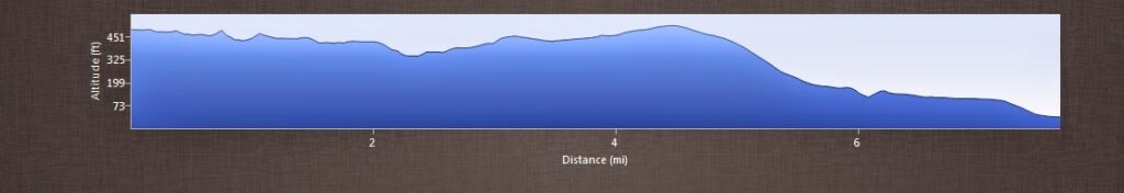
Elevation Profile Day 11
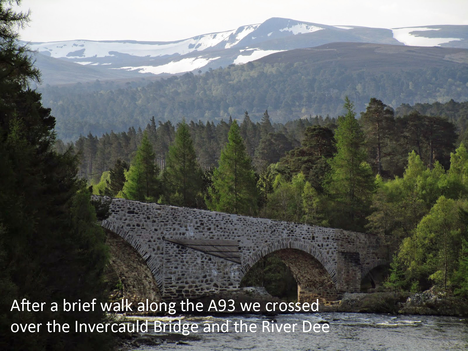
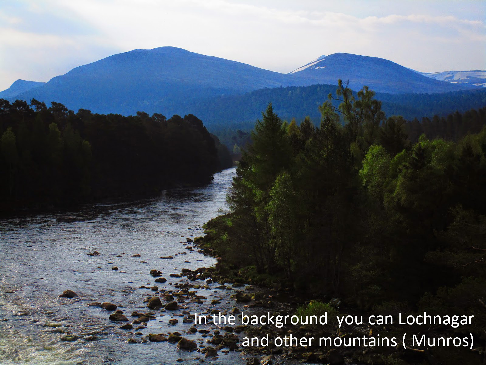
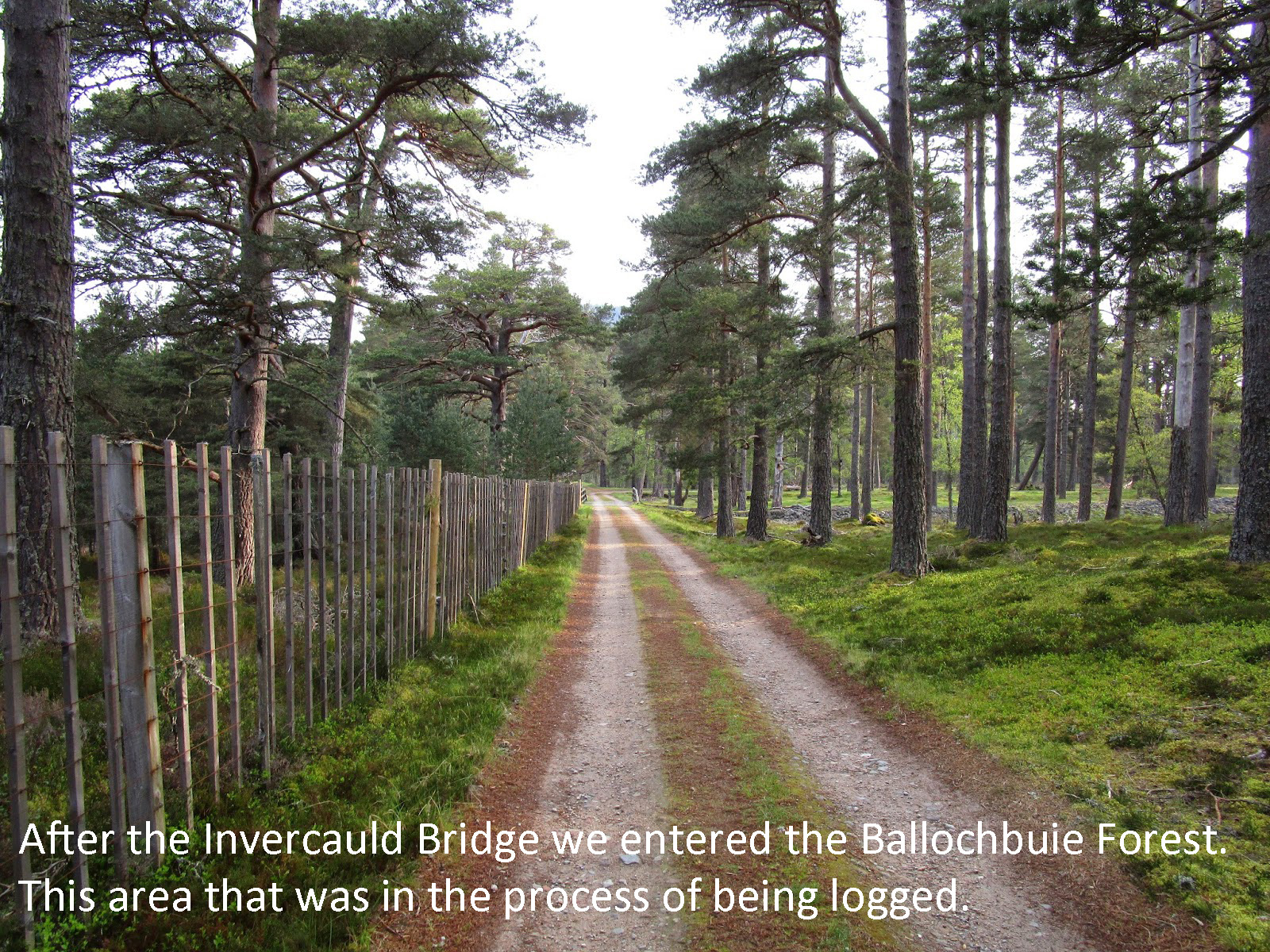
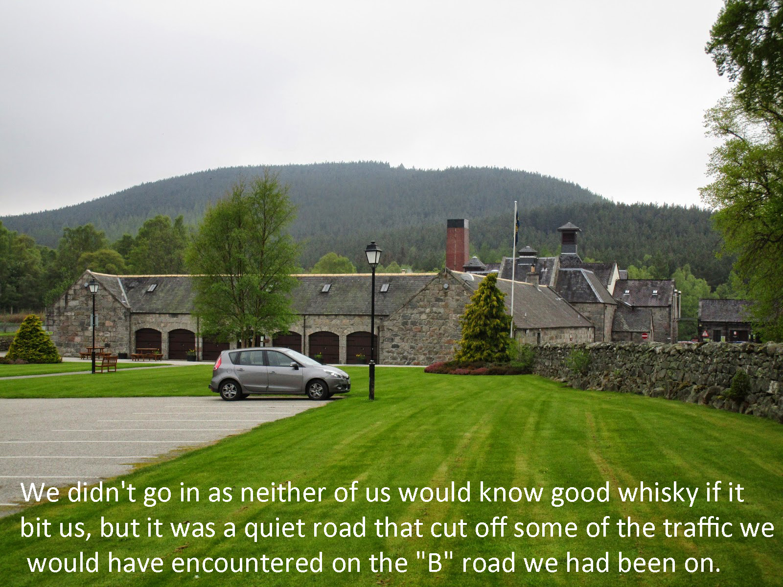
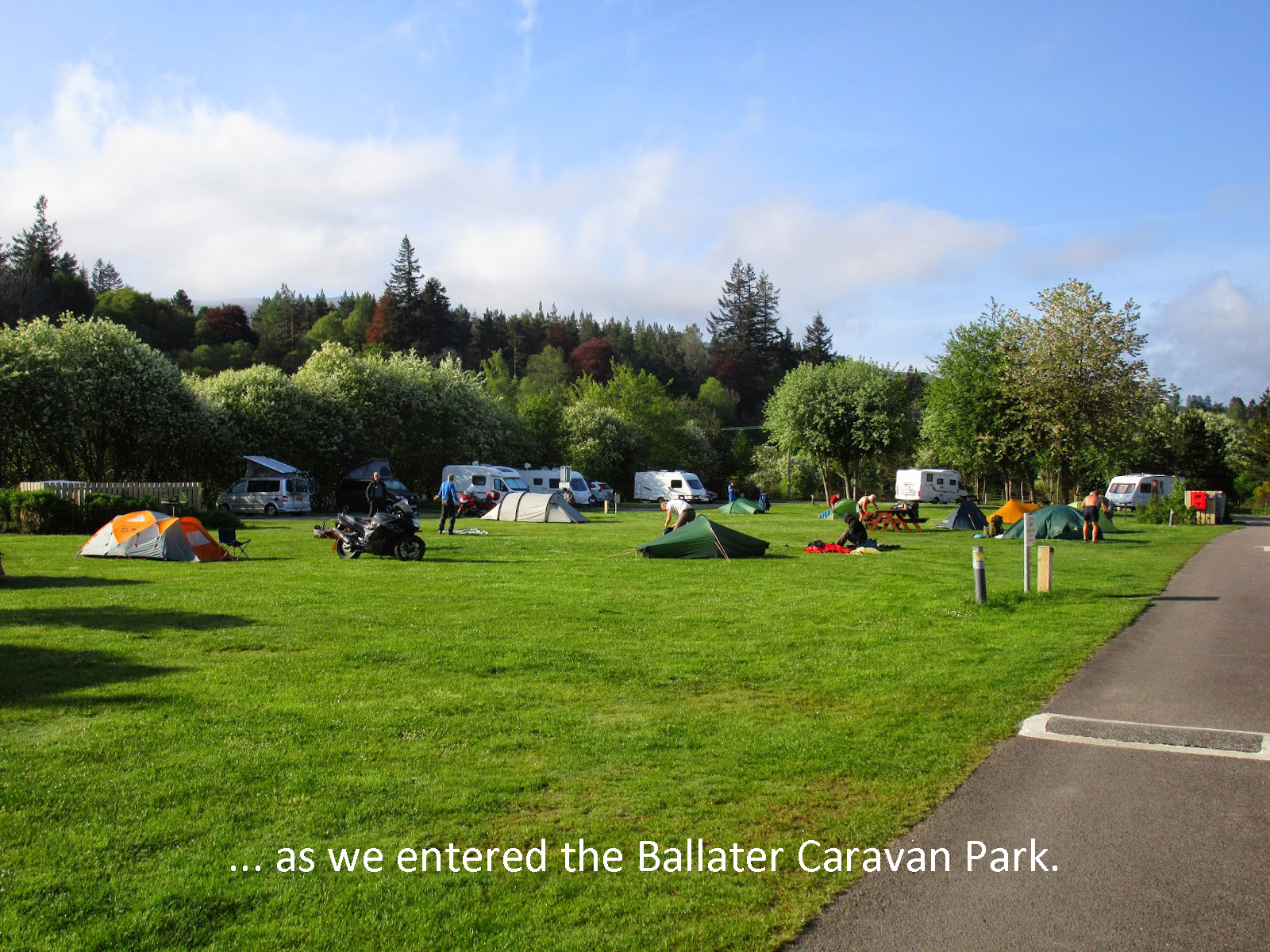
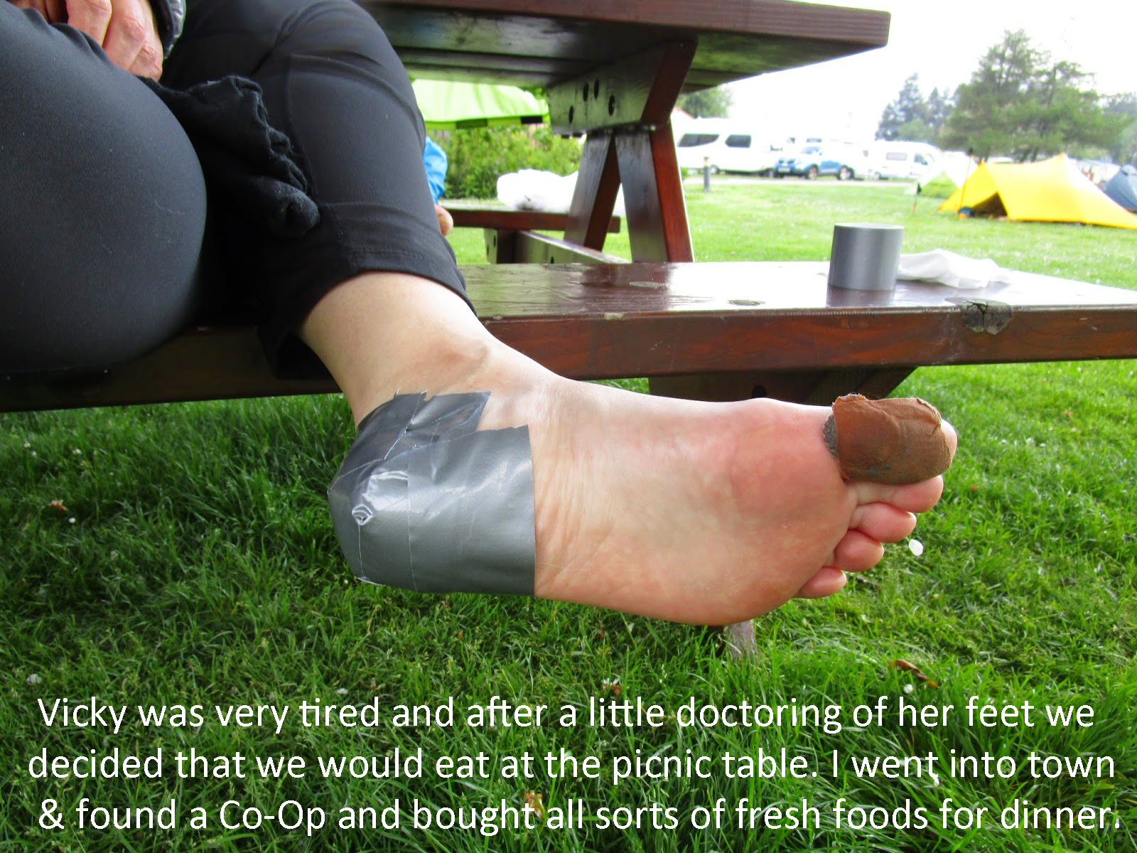
TGO Challenge 2014 Day 12 – Ballater to Potarch Bridge Park
Today was a lovely spring day. After a good nights sleep at the Ballater Caravan Park, Vicky was feeling tired and her knee wasn’t great but it was still ok to walk. I knew today was going to be another longish day for her, so I tried to figure out how to make it the easiest possible. We were going to take the Deeside Way until Aboyne and then take a B-Road (B976) southeast to a similar Caravan site (RV Park).
We had been told by John Manning that the East Coast of Scotland was not the same in terms of Right to Roam and the ability to camp anywhere, so we needed to make sure we were not on private property.
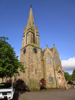
The town of Ballater is quite pretty and after packing up and getting a good early start, which included some excellent breakfast rolls I had picked up the night before- Cinnamon and Chocolate. We walked right through the center of town toward the Deeside Way.
There were not many people out for a Tuesday morning, but there was a walking festival going on and we saw walkers with smaller packs doing shorter trips today.
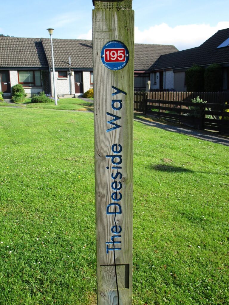
The Deeside Way starts behind the railway museum in the middle of town and once we found it, with a little help from a very friendly local lady walking her dog, we were on our way for the day.
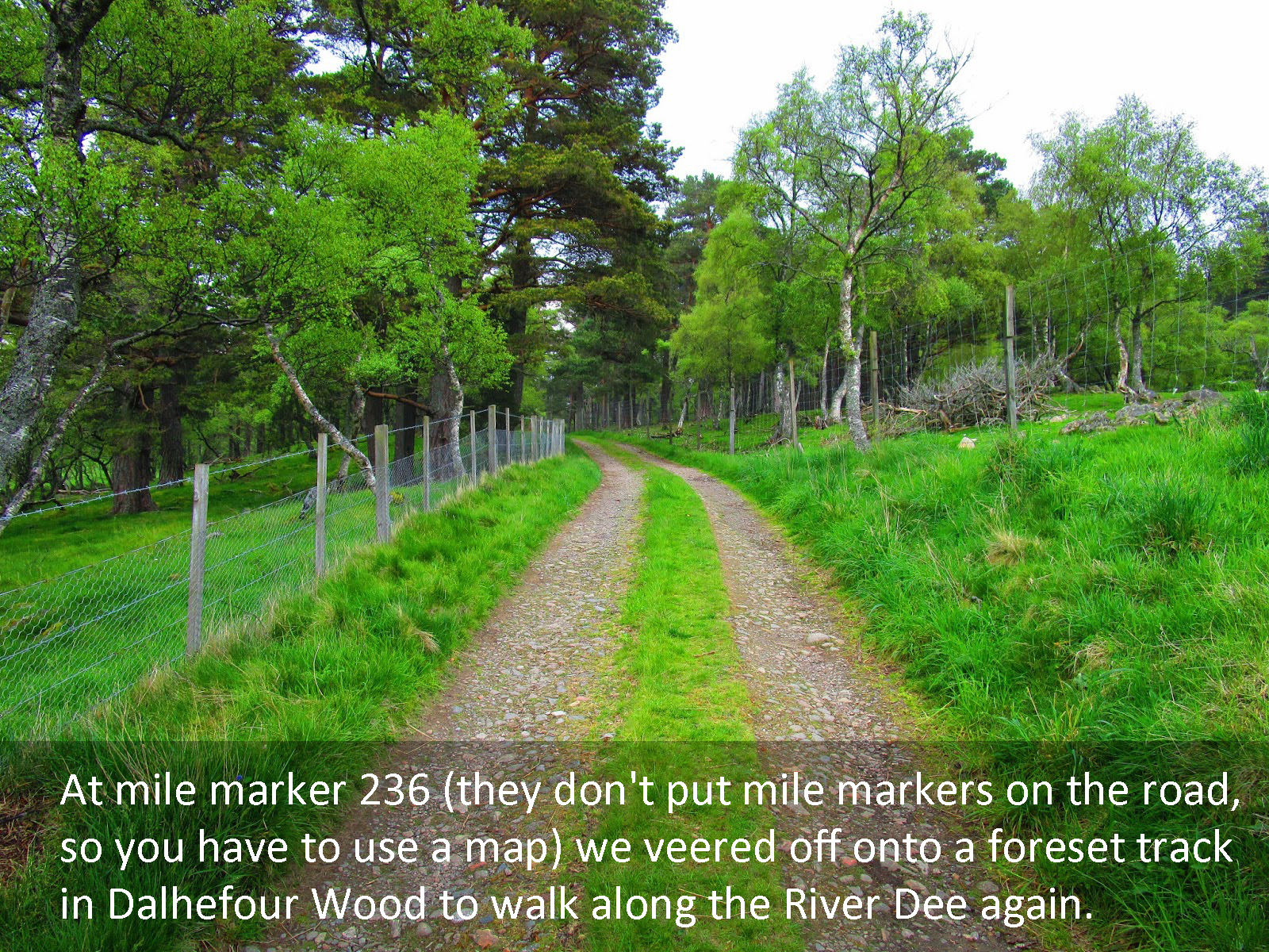
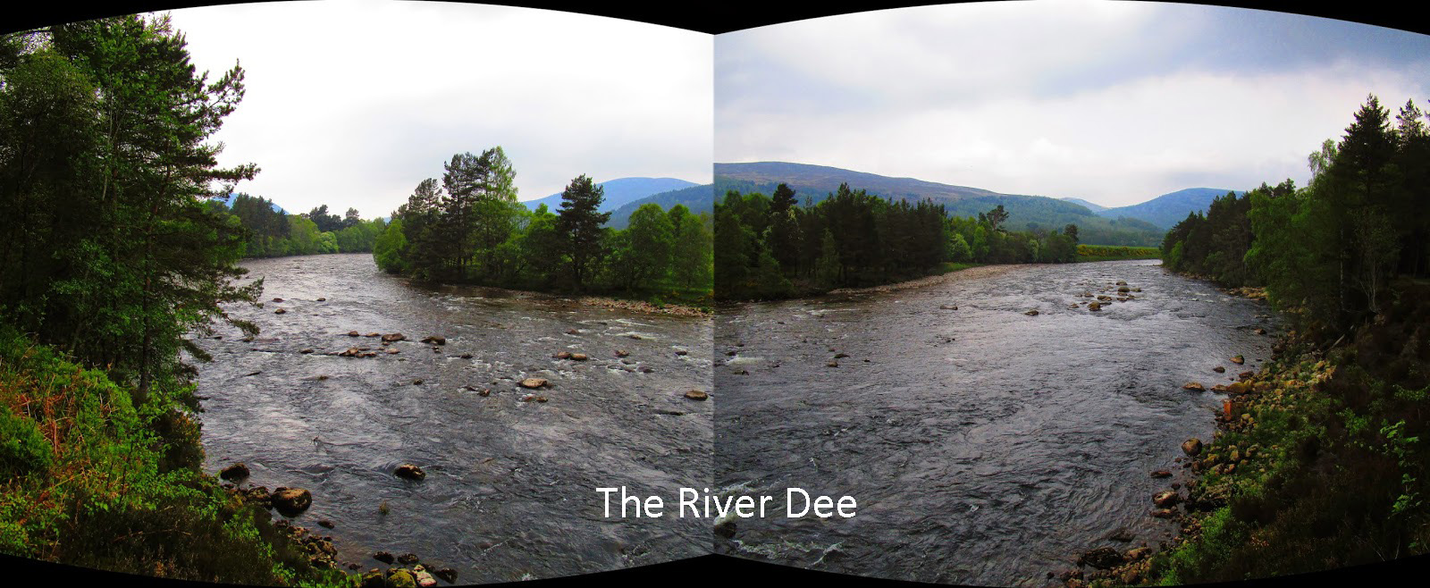
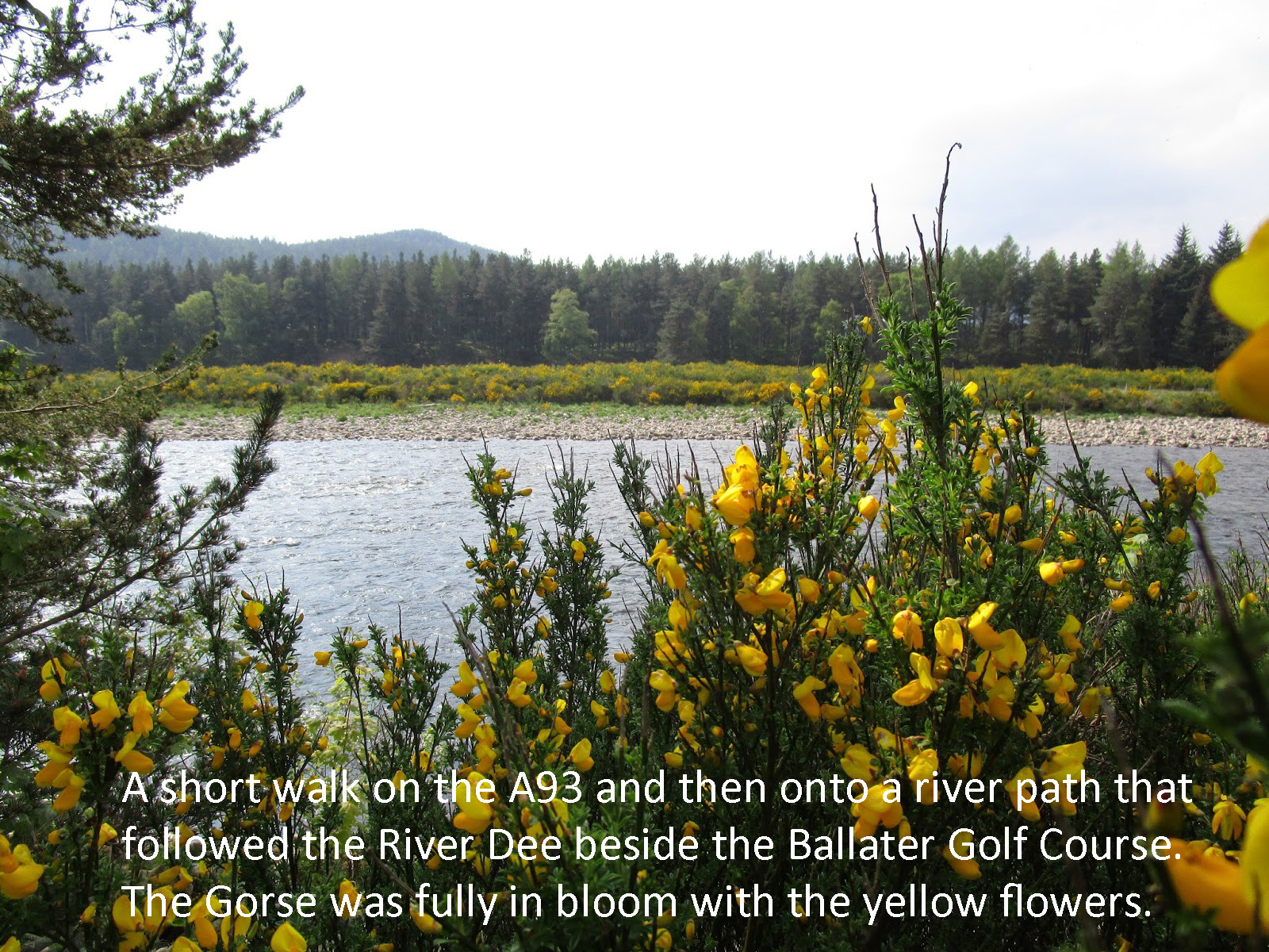
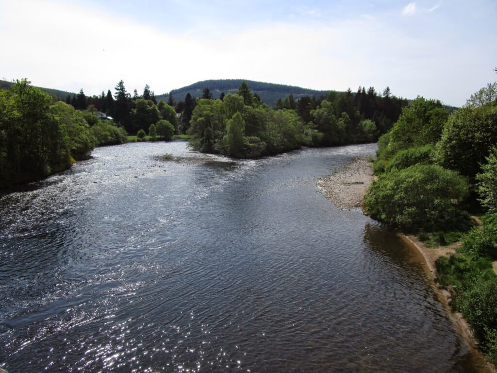
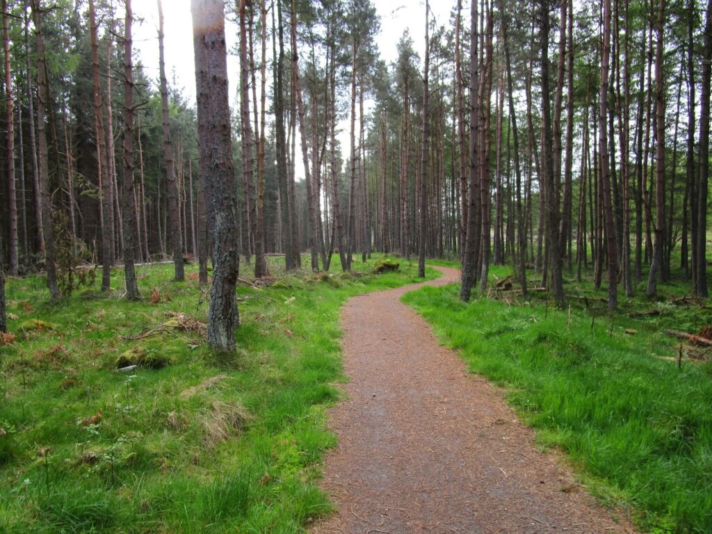
The Deeside Way is just as the name implies, it is a path that follows the side of the River Dee.
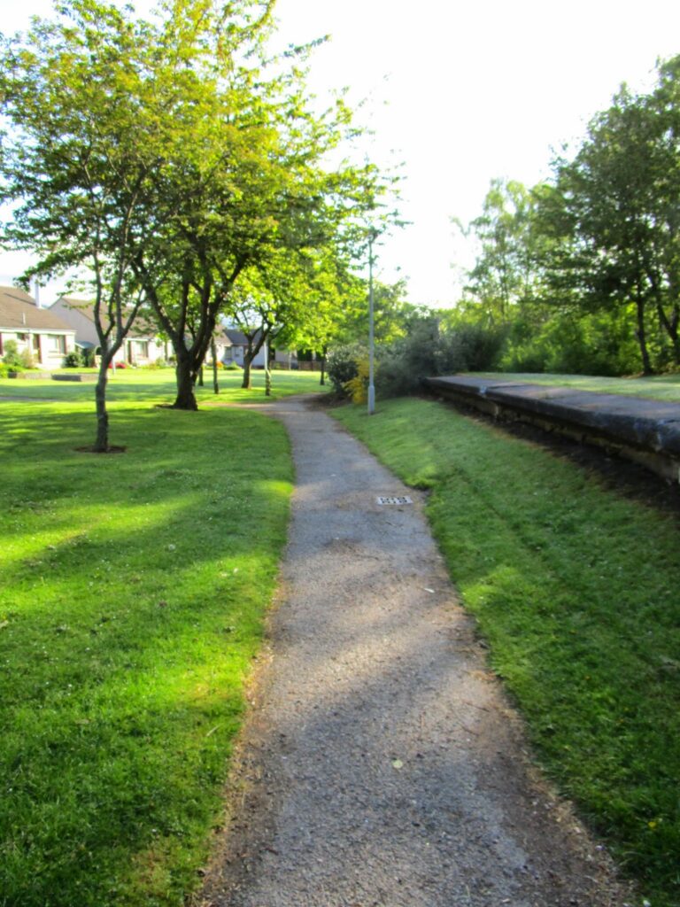
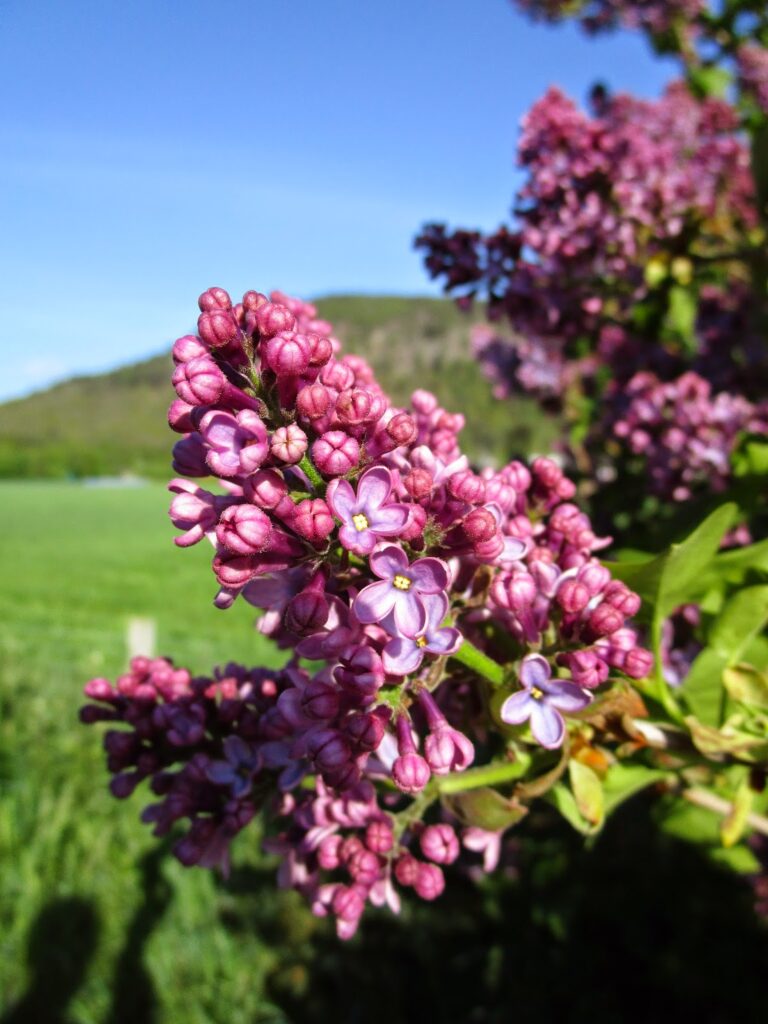
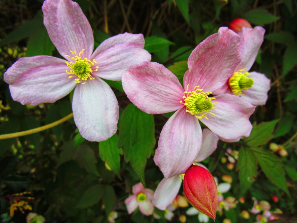
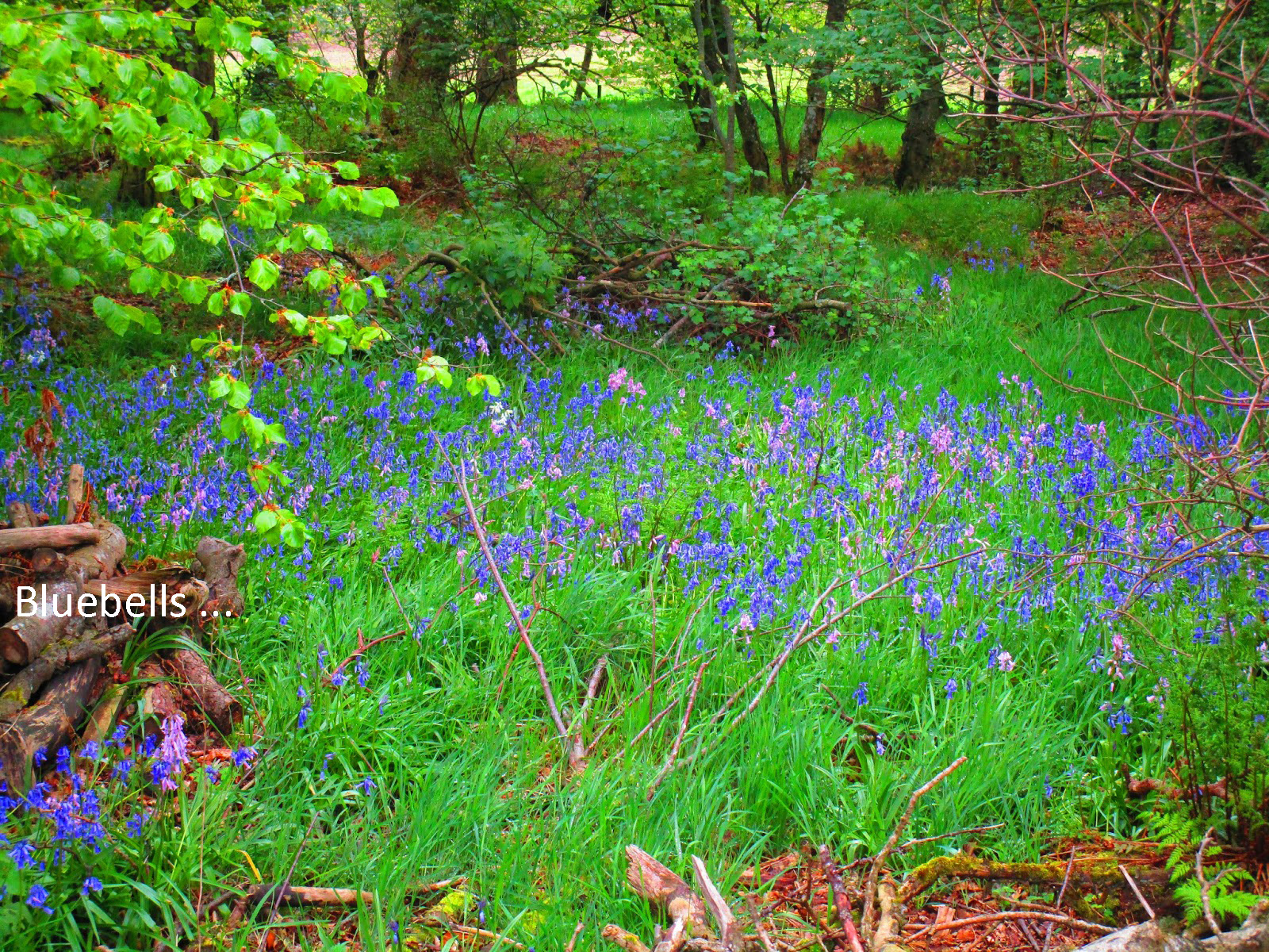
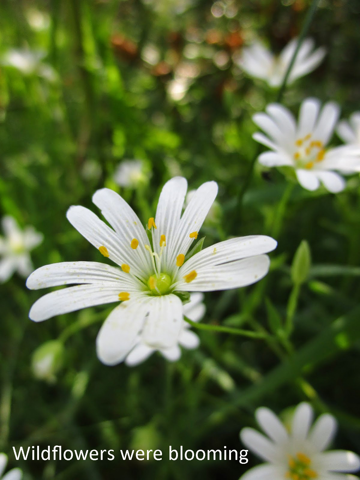
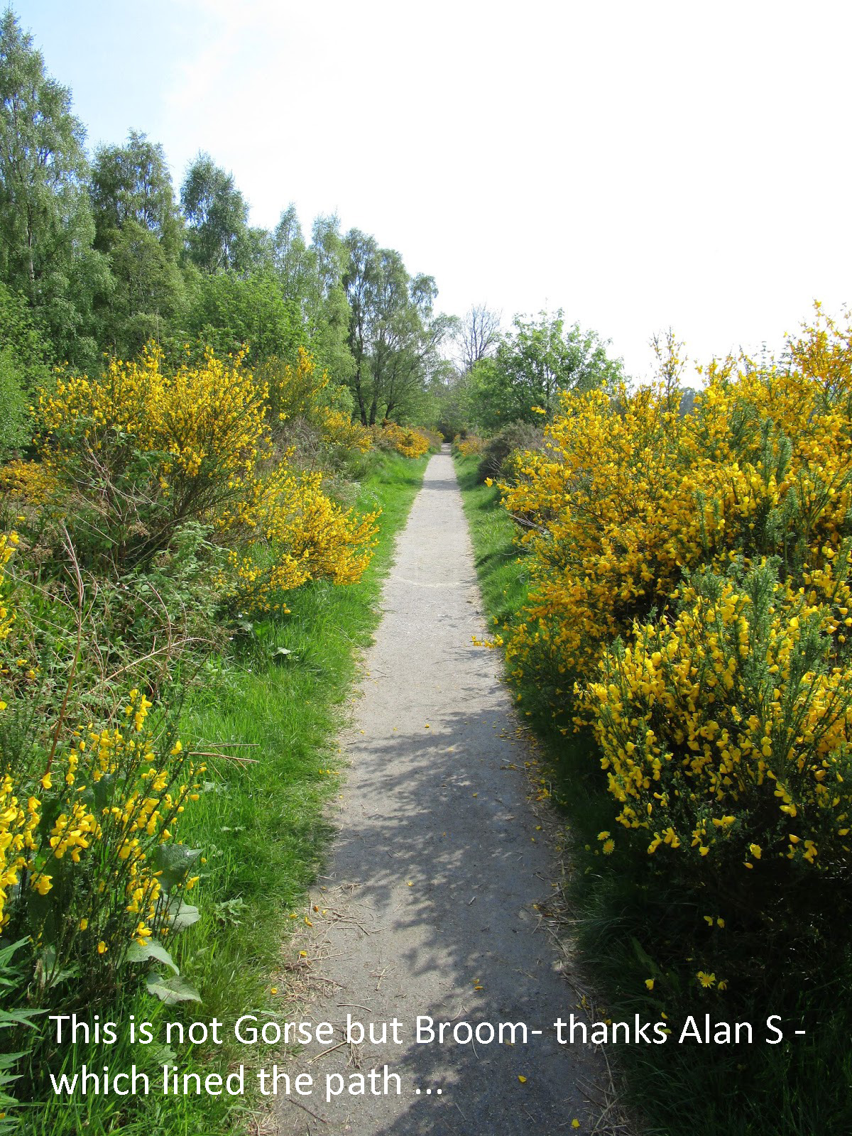
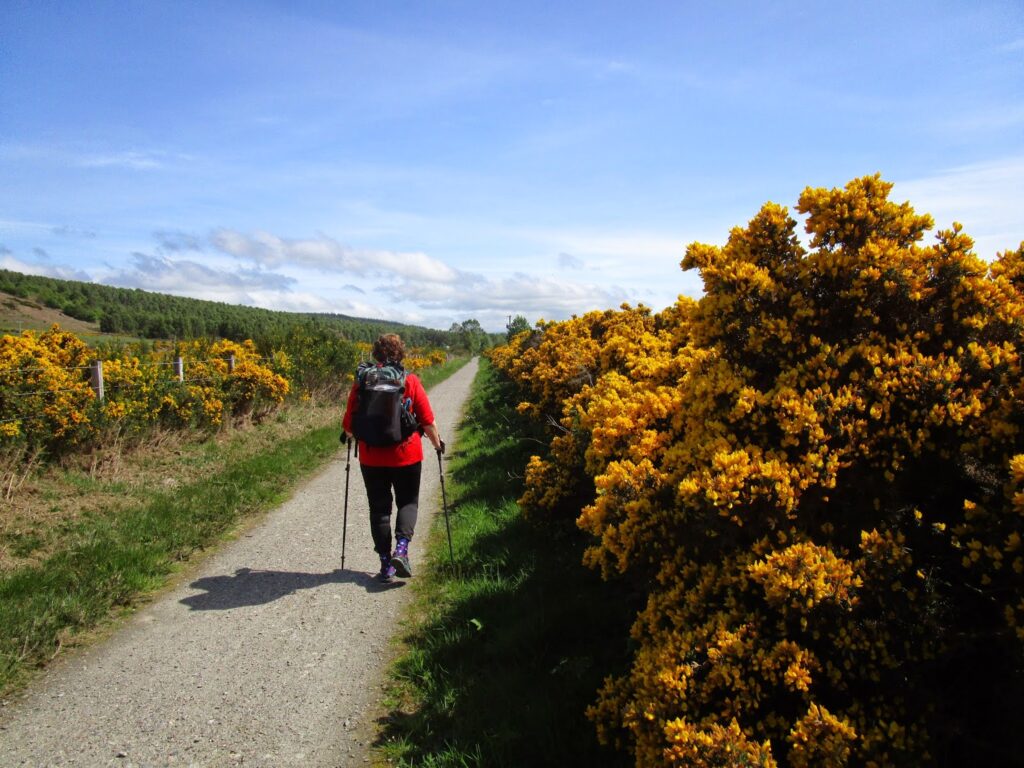
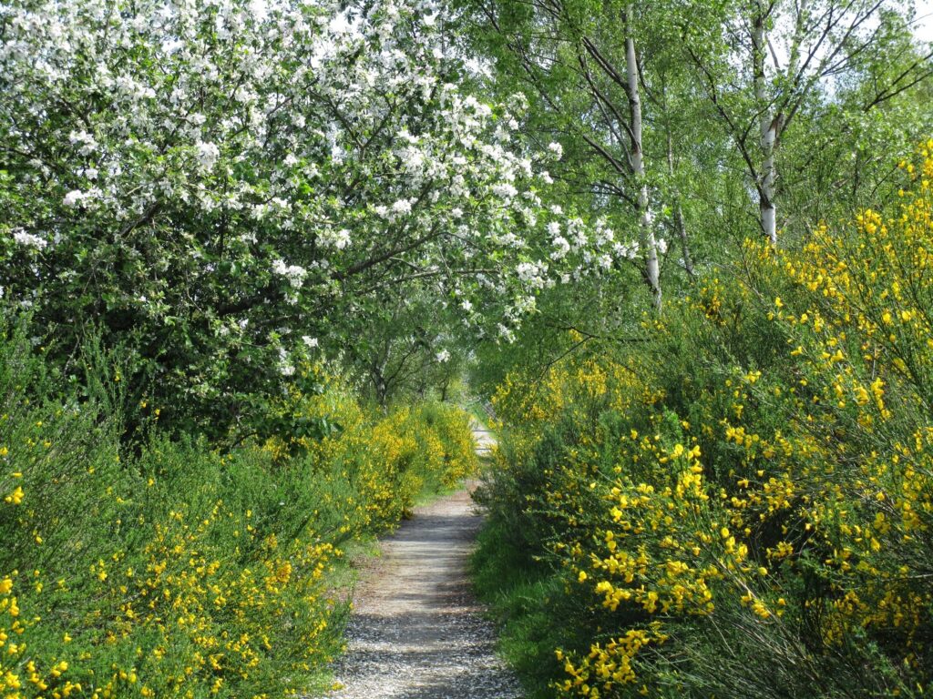
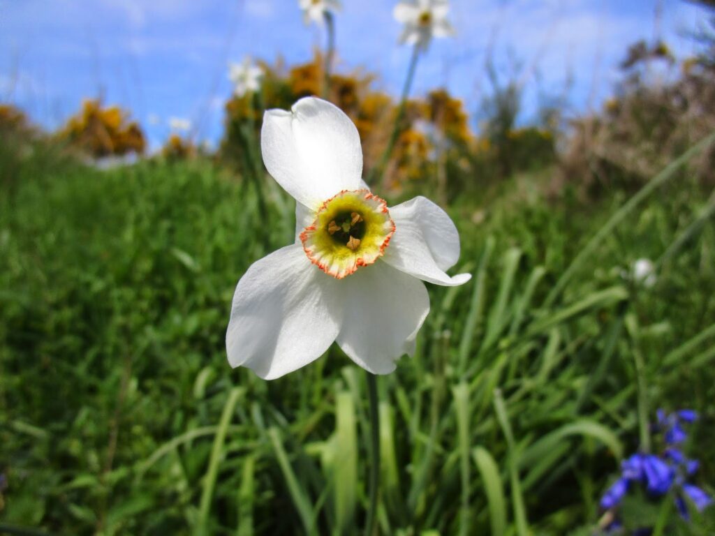
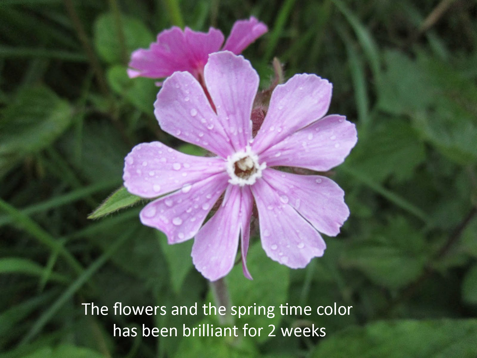
Spring was everywhere today. This was a lovely walking path with nothing to do but enjoy the weather and the many flowers that were out all along the trail.
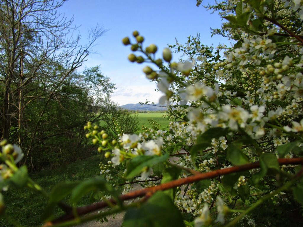
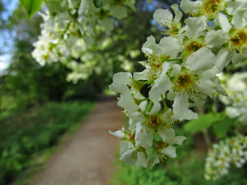
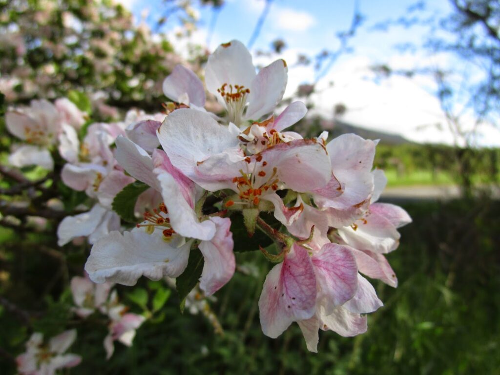
Flowers along the trail
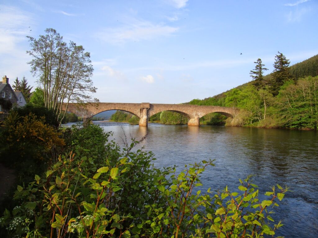
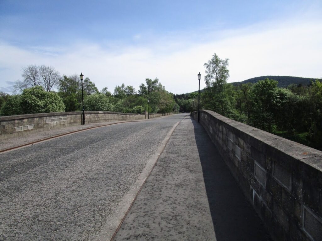
We passed the Cambus O’ May bridge along the Deeside Way. Crossing the bridge you can make a loop back to Ballater and it makes an excellent walking circuit for a mornings walk.
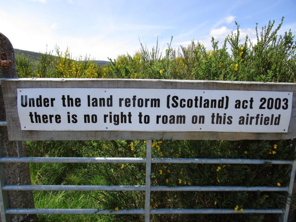
After Cambus O’ May we continued past Dinnet and another 5 miles to a small airfield. the sign on the airfield confirmed what John Manning had told us about being careful not to be on private land.
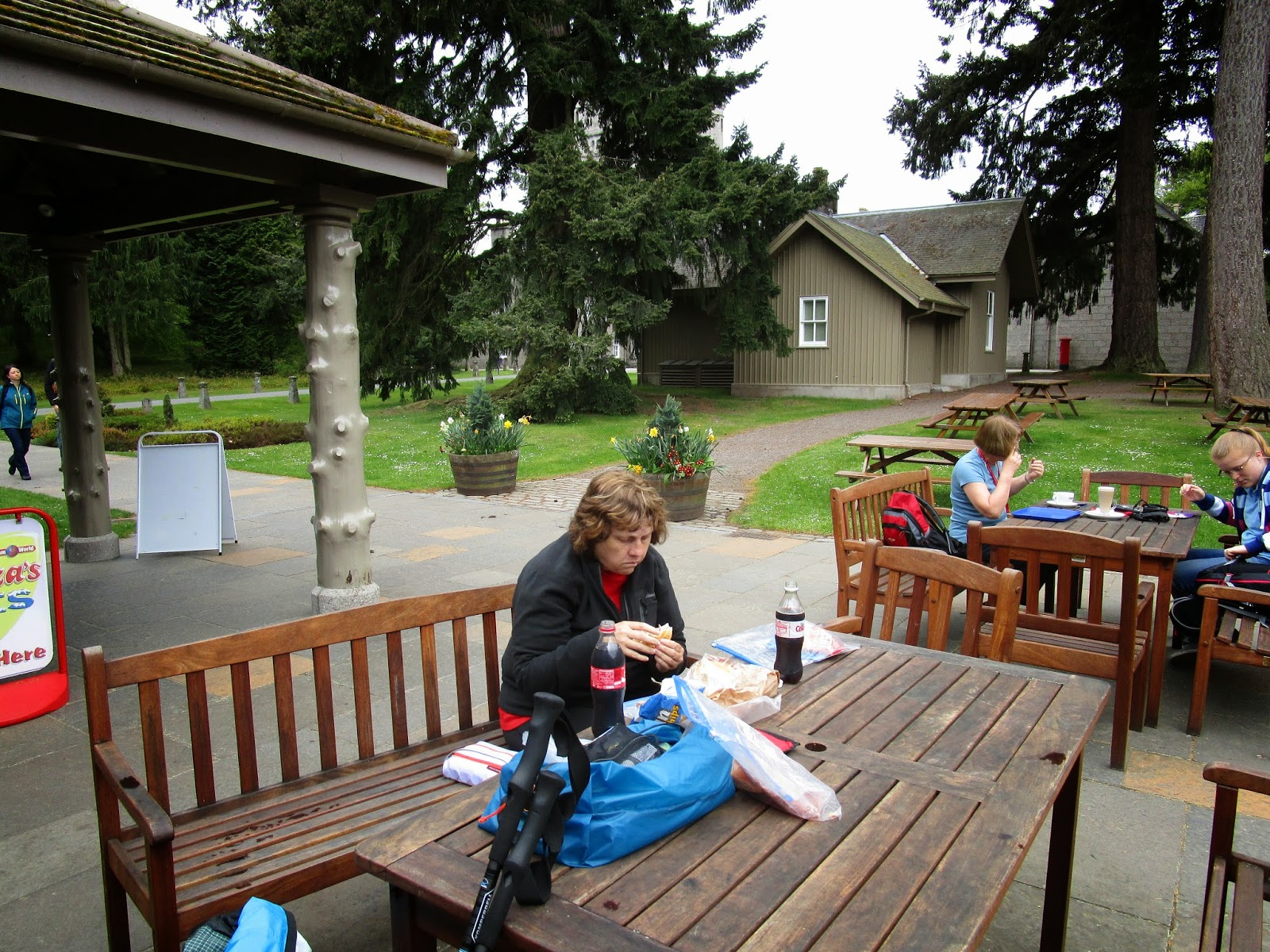
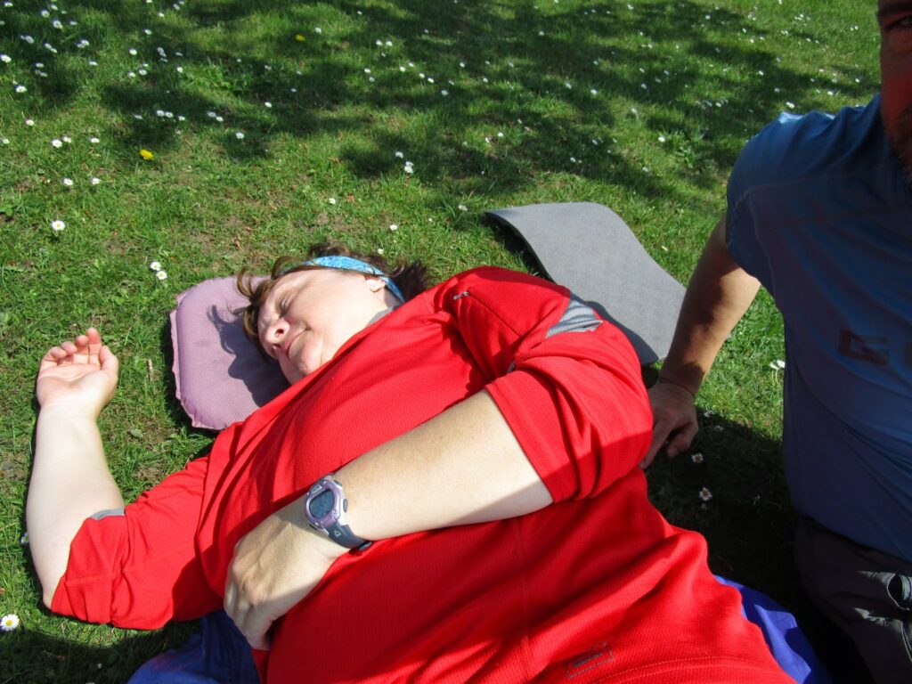
The Deeside Way not only follows the Dee River but in some spots the A93 highway which comes from Aberdeen. There was a pull out (rest area) that was common to both the path and the highway. Vicky and I stopped for a lunch break, but since neither of us was hungry we just laid down in the bright sunshine for a rest…. Vicky was asleep in less than a minute… We had come 9.5 miles so far today 🙂.
We rested for about 40 minutes and then got back up and started on the second portion of the day. Again the path was lined with nothing but flowers and flowering shrubs that smelled great.
When we reached Aboyne I made a decision that was probably not the best for the second half of the day.
We had planned to go through the Fetteresso Forest and finish in Stonehaven and in order to do that and make it the shortest and flattest distance possible for Vicky that meant walking on more B-Roads. In this case B976 out of Aboyne. I was shooting for a camping spot around 11 miles away, but Vicky wouldn’t make it that far and we ended up at a camping spot 7 miles away, which is the same spot we would have come too had we stayed on the Deeside Way.
Bottom line- the Deeside Way would have been a little longer walk, but more comfortable and less stress than walking on the B-Road. Sorry Vicky!
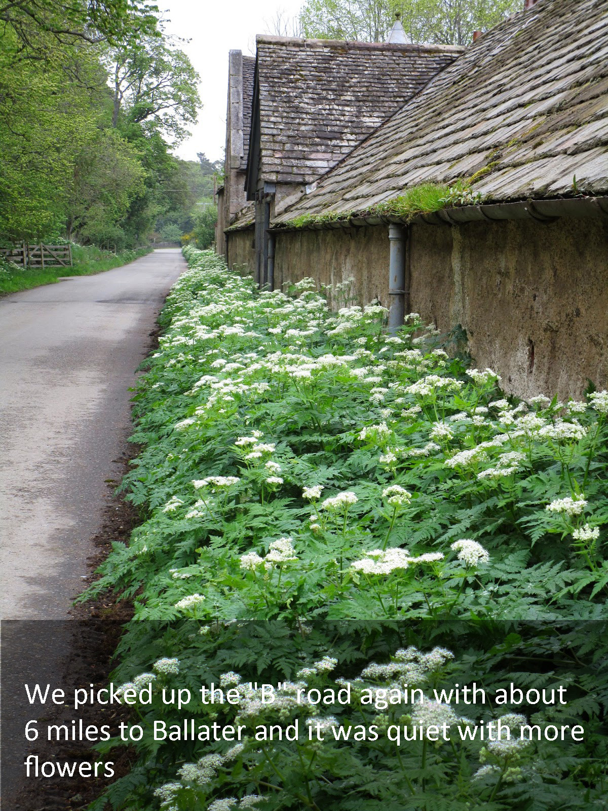
The B-Roads on the East side of Scotland are more used than the West Coast, but it was not a bad walk, except on pavement. We passed many cottages, some with great gardens and displays of flowers.
Vicky asked me about a half mile before we arrived at the end of our day “Don’t you ever get tired of walking?”
We made the right decision for this stopping point. This was very nice city park in Potarch. Potarch lies right next to the River Dee, were I got our water for the night. There had once been a hotel and restaurant here but it is now closed, but the Park was large and the grass was soft. When we arrived we had the entire park to ourselves.
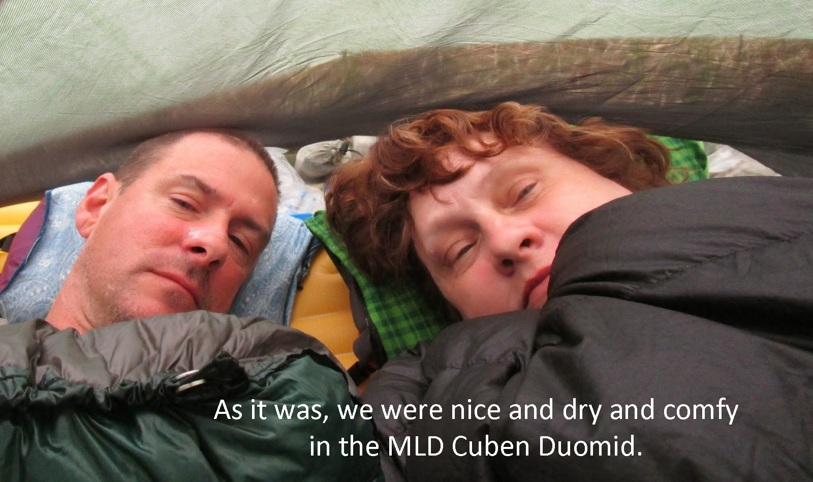
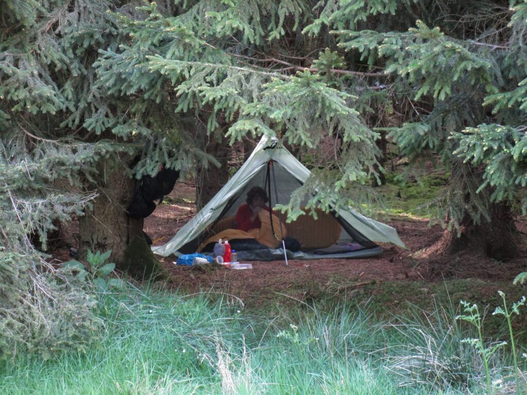
Our Mountain Laurel Design Cuben Duomid worked really well for us on this trip. Had it been raining consistently I am not sure it would have provided both of us with enough room to sort things out in the rain, but it was good with the weather we had.
We ate early and were in bed very early. It was a very tiring day for Vicky and she needed the sleep. She had done another great job covering the distance we needed with her knee with no complaints at all.
We chatted with several local ladies that walked their dogs in the park during the afternoon.Three other Challengers showed up after we did including Ken and Nina that we had leap frogged with all day on the Deeside Way. This is how I found out that the Deeside Way would have brought us all the way to the same point. Nina played her flute in the evening and it was lovely to listen to her play laying in the tent.
Day 12: 17.4 miles in 8 hours. 104 miles walked out of possible 160 originally planned.
TGO Challenge 2014 Day 13 – Potarch Bridge Park to Fetteresso Forest
We had a good nights sleep in the park and woke up reasonably early. The Path today would lead us on the Deeside Way again for a while this morning and then we would have to make a decision.
We found out from Ken and Nina that the Deeside Way would take us with very little exception on an easy path all the way to Aberdeen and the coast. It would be a predictable and safe route. I expressed a desire to have a little more wilderness experience for our last full day and asked Vicky what she thought about going through the Fetteresso Forest which was our intended route. There would be some ups and downs and other unknowns.
I think apprehensively, she agreed with the forest track and Stonehaven for our final destination.
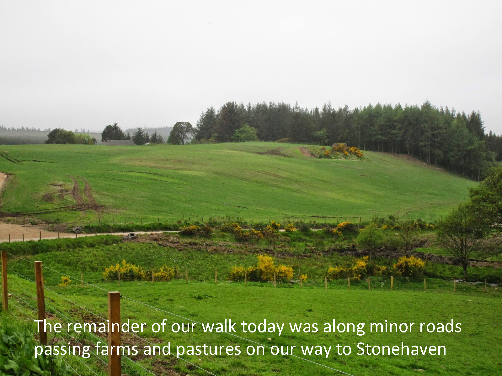
Walking in the morning on the Deeside way kept us thinking about this route and the easy path to Aberdeen. The path away from Potarch was very nice and looked newly done. The morning was overcast and cool, perfect for walking again today.
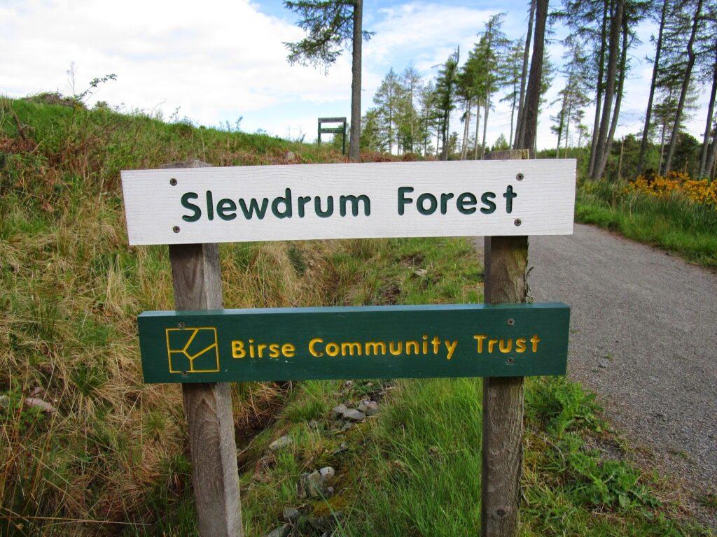
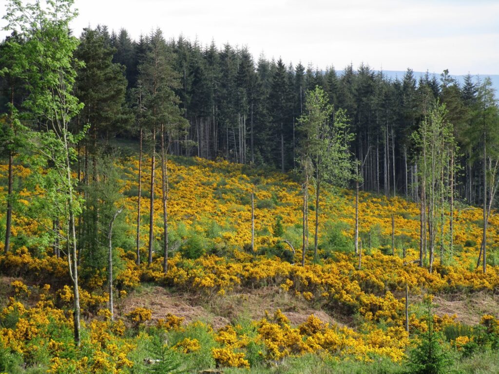
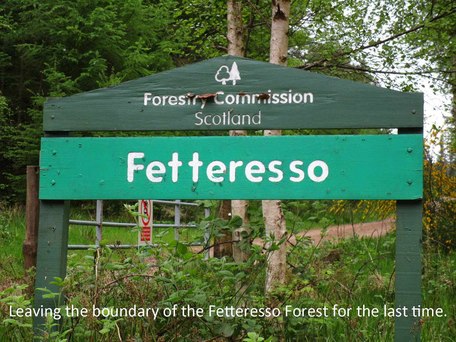
The path led to the Slewdrum Forest and the Deeside way would continue over to Banchory and then east to Aberdeen. We needed to split off here and do a little more road walking toward Strachan to get to the Fetteresso Forest
The B-Roads were quiet and there were several nice farms with horses, cattle, and sheep along the way. We made it into Strachan and had a rest in the park. We were hoping for a Co-op or gas station to get some fresh lunch and a drink, but Strachan, while being a fairly large little town with a school and some shops, did not have any groceries. (Banchory is only 4 miles away by road).
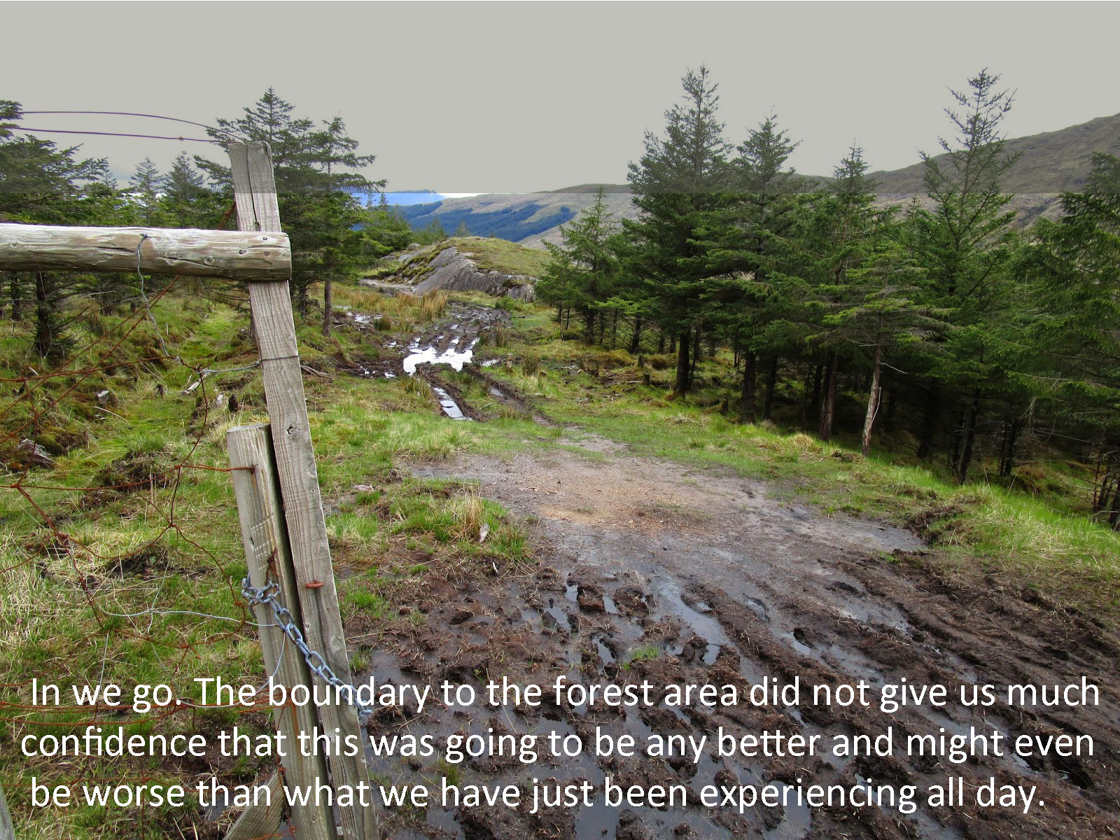
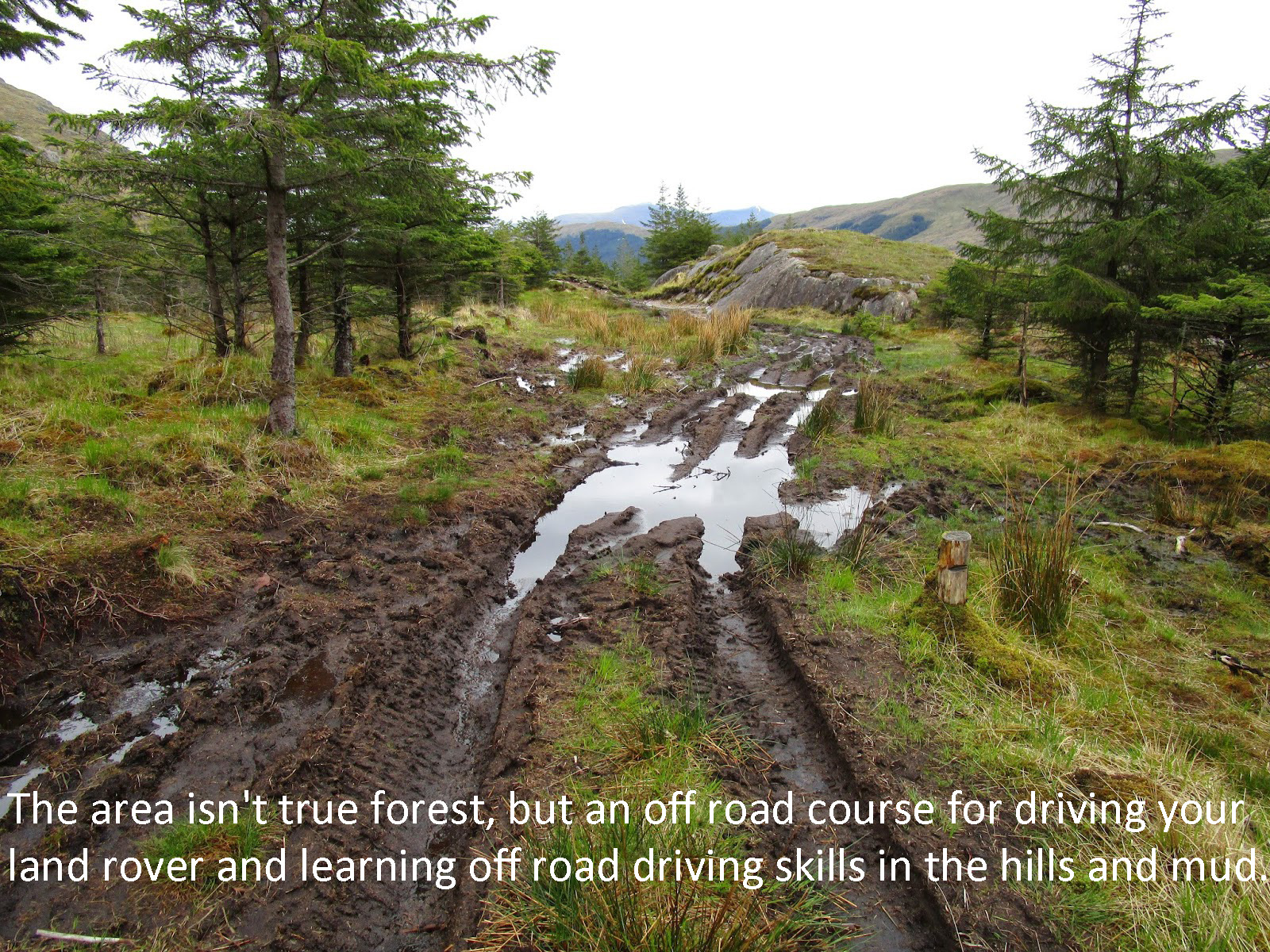
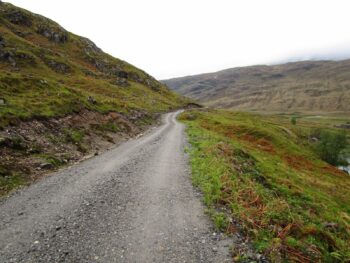
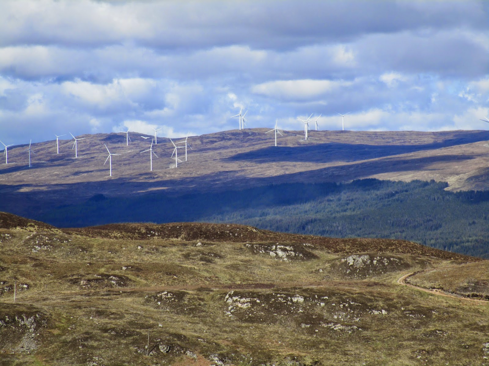
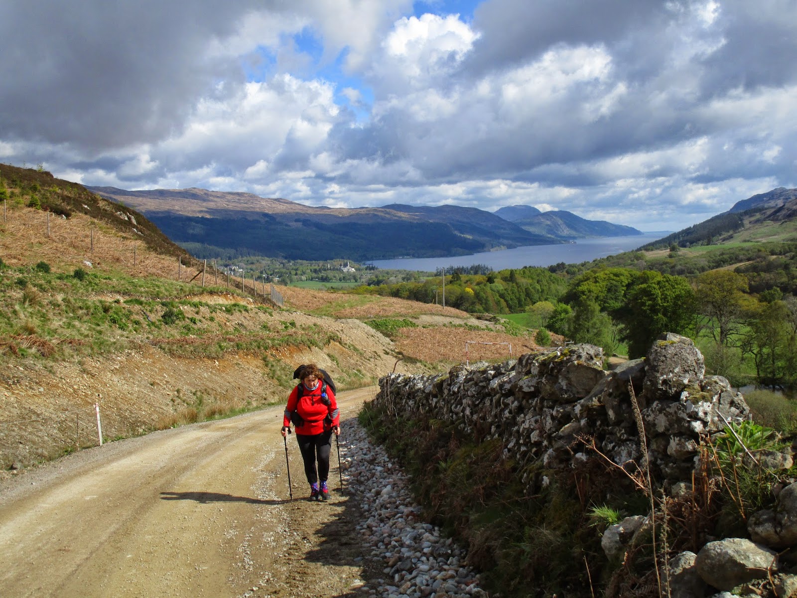
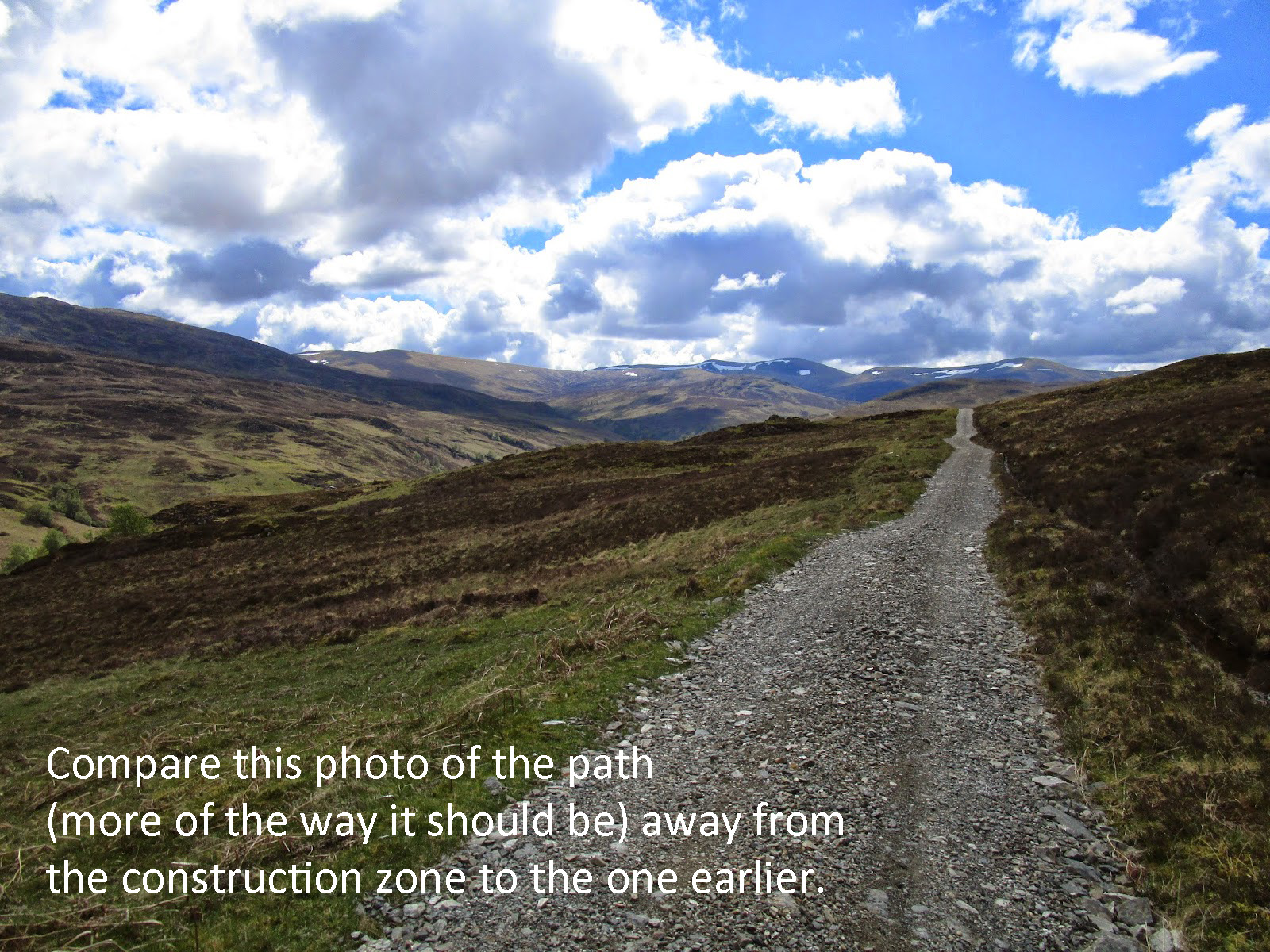
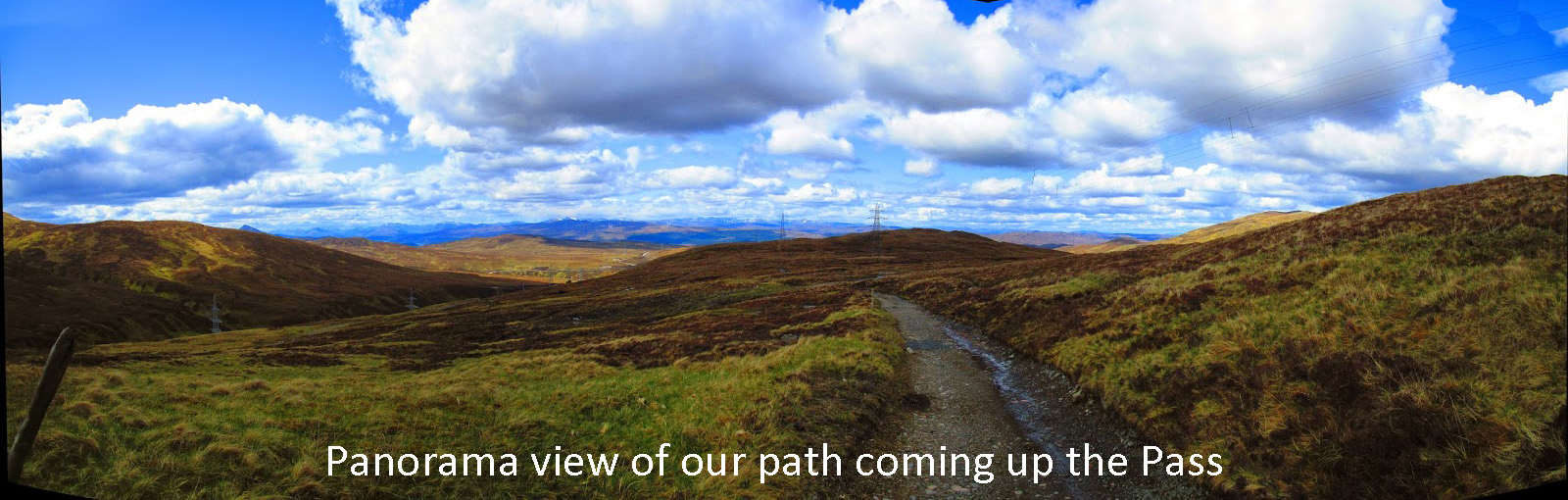
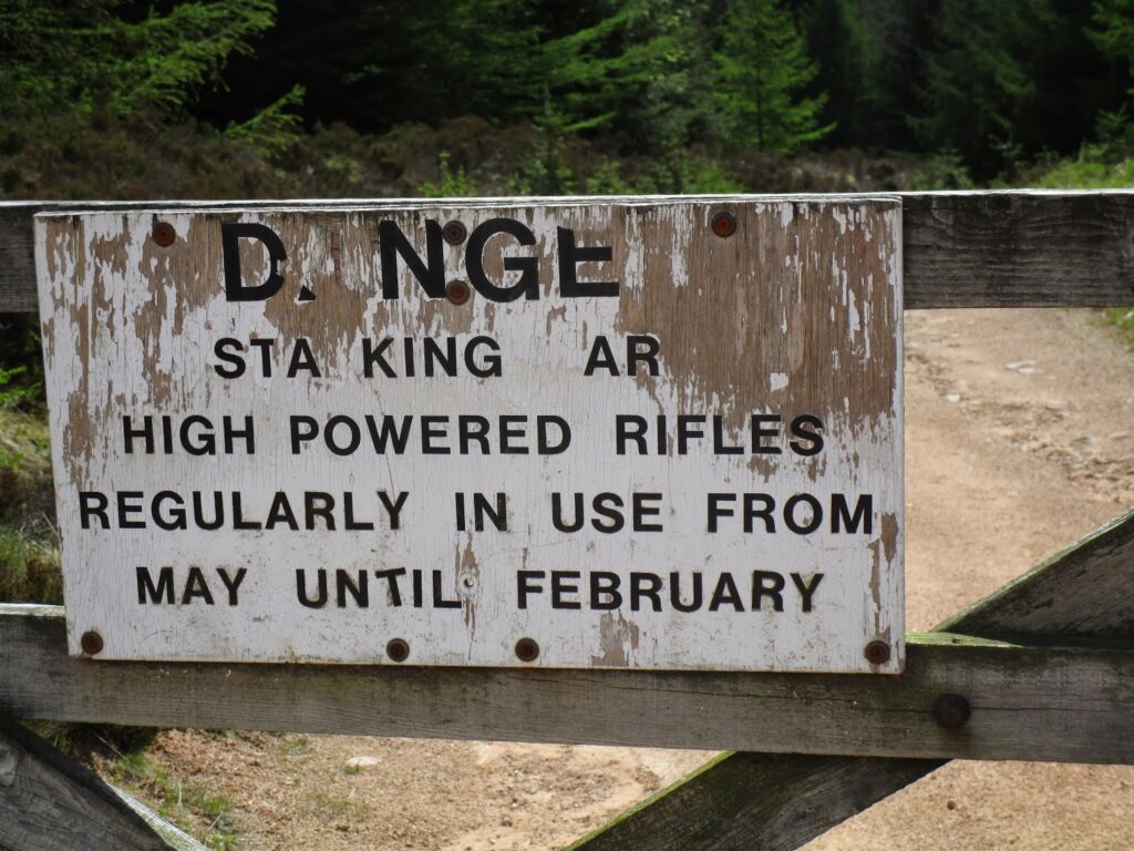
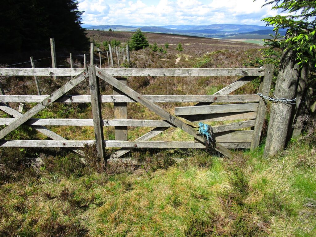
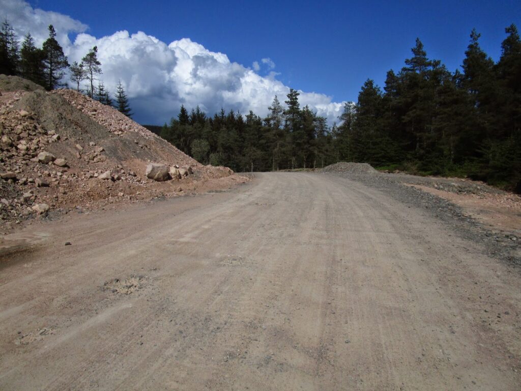
We slipped across the Water of Feugh and it was just a short walk on a minor road to get to the entrance to the forest. We came in heading for Glenskinnan (a hunting bothy). This had originally been a very small double track into the hills but the construction of the wind farms in the Fetteresso had turned this, like the Corrieyairack Pass, into a major construction road.
At the top of the road as we where to enter the forest proper we came across a locked gate and a disturbing sign … High Powered rifles regularly in use. A small step had been provided to get over the fence and around the gate.
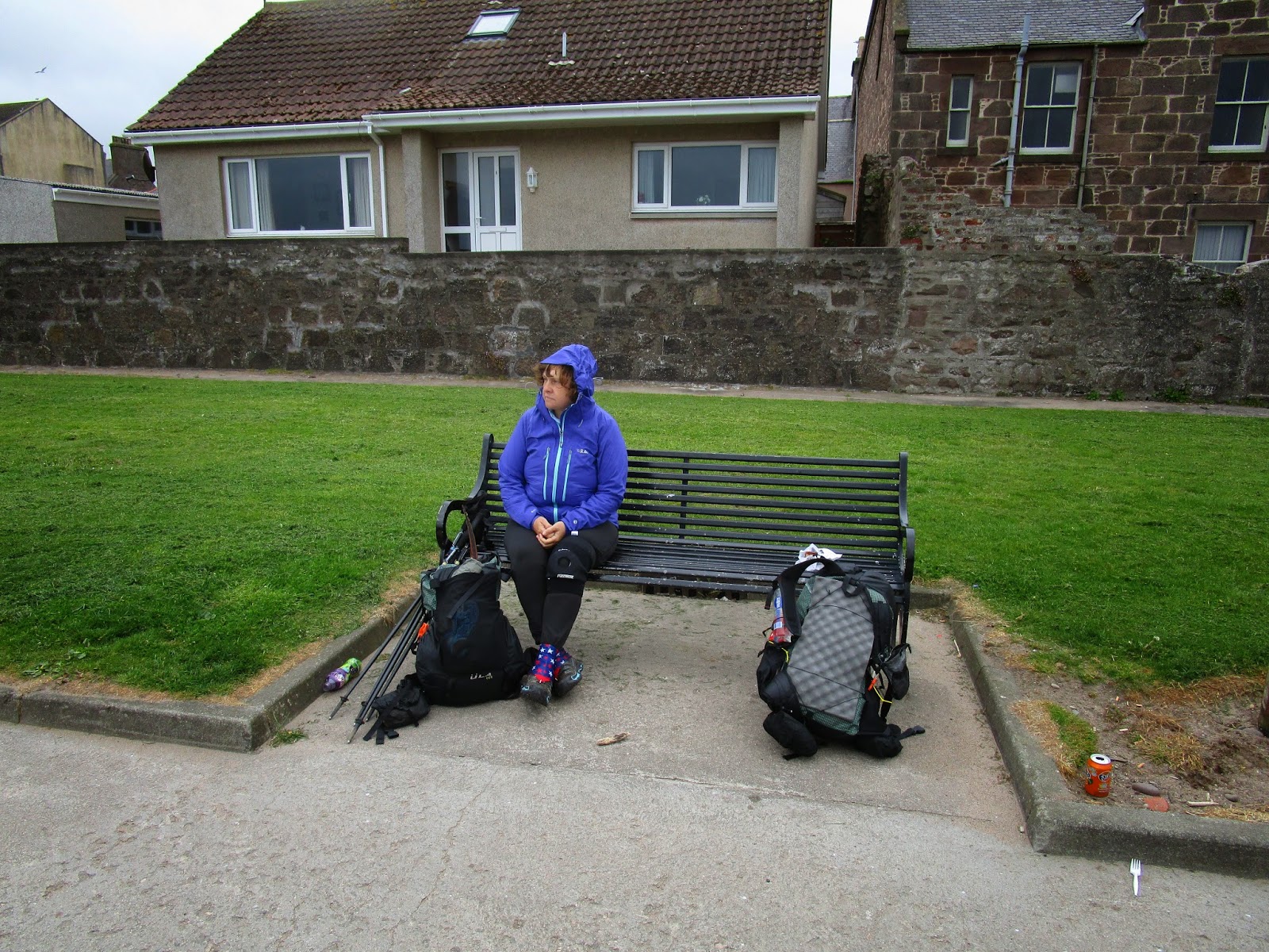
This first climb to get into the forest had been about 600′. I think the picture below sums up the way Vicky was feeling at the moment. (We took a good rest here!).
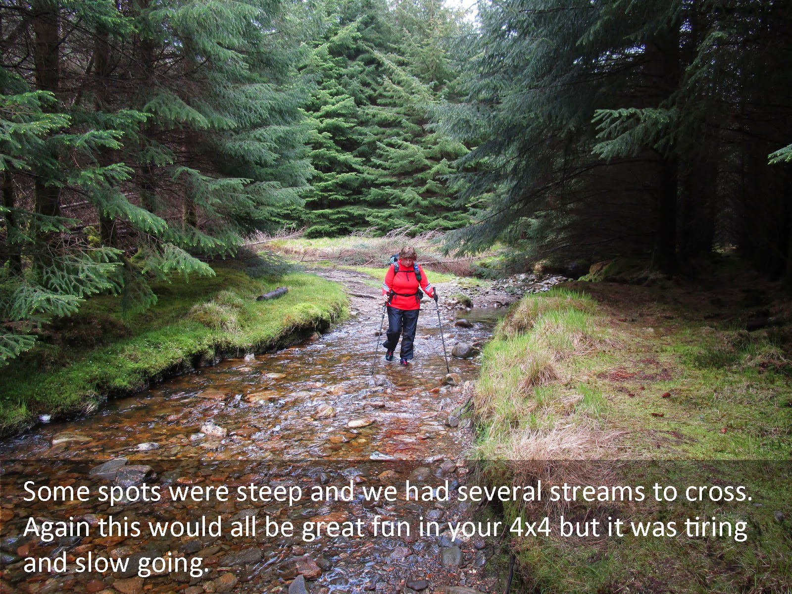
A short distance up the path we came to Glenskinnin, clearly a bothy for hunters. It was all locked up, but the important part was the rain barrels outside the hut. We needed water and we had been careful not to use the water on the way up as it had been polluted by the cow pastures along the way. The water in the rain barrels was just what we needed
We sat at Glenskinnen for a bit and enjoyed the views … and rested!
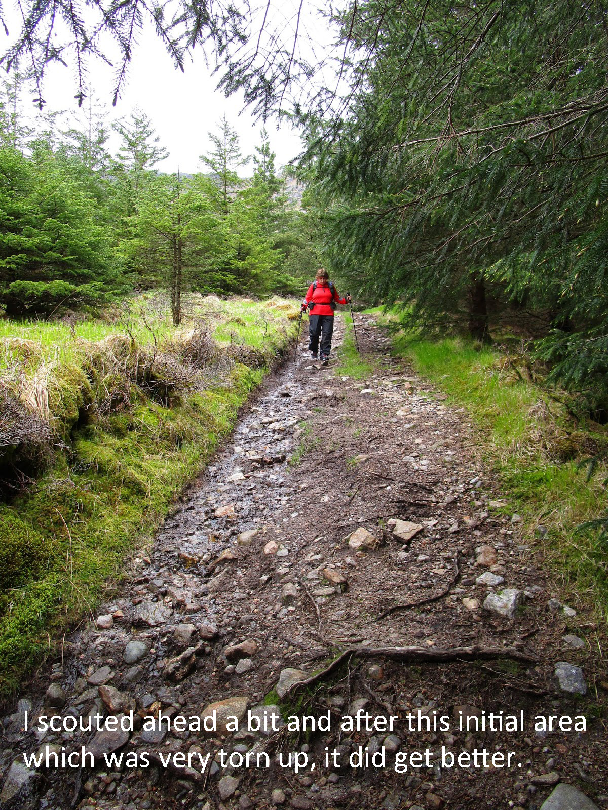
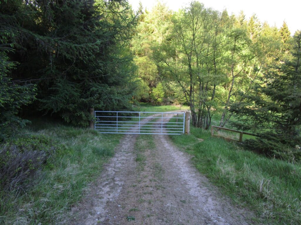
After we rested we continued on the forest track. We came across a locked gate on the path with no visible way to climb over. We had to take off our packs and hand them over as we scaled the fence.
The path then led into denser forest and more bogs! I wanted a “wilder” experience before the end and I certainly got it. Fortunately this section was very short.
Back on firmer ground we started to go a little higher into the forest. Just as we got to a sign post, we dipped down to a lovely creek, you looked up and got your first view of the wind turbines here in the forest. They immediately reminded me of some War Of The Worlds scene rising up out of the trees.
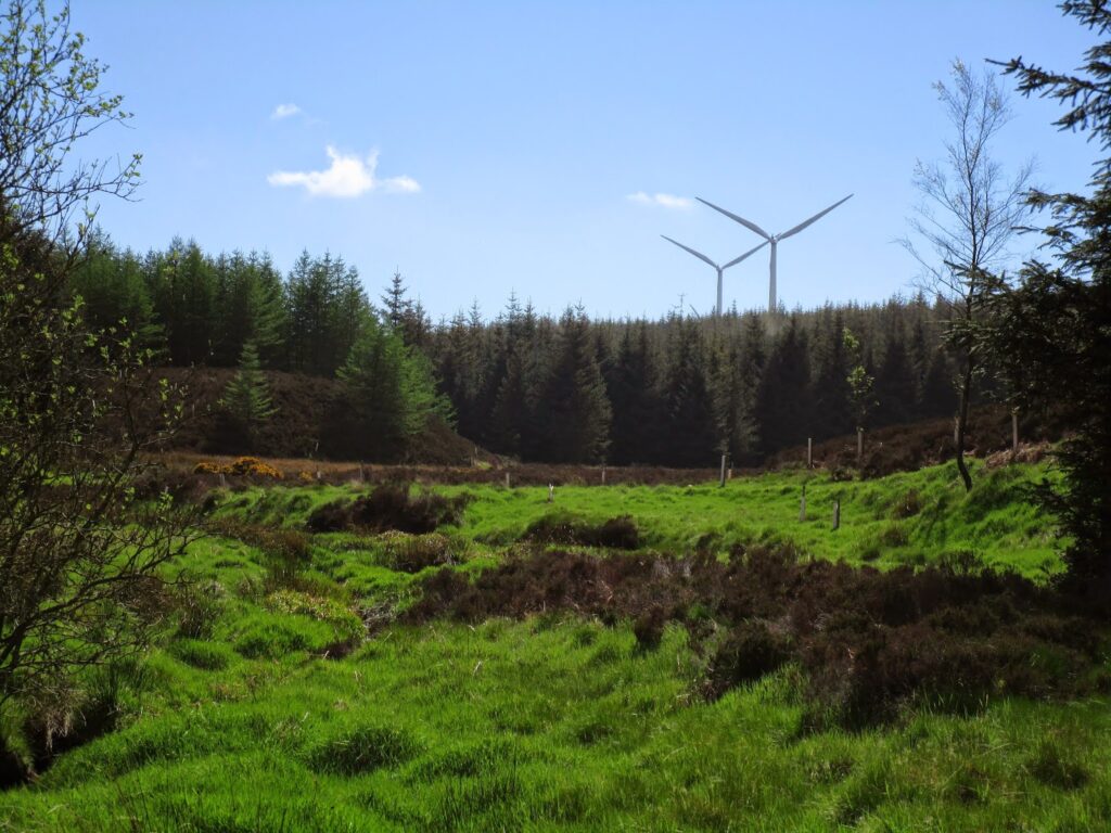
We followed the forest track in the North Dennetys, the “D” stone marking a boundary. We didn’t have to walk through the actual wind farm field, as some challengers did that came from the south. The wind farms were located in the Mid Hill area of the forest.
We popped out of the forest and were confronted with the reality that our little single track path had been made into a huge construction road.
We finally veered off the construction track and through another gate onto a smaller path toward Stonehouse
I had assumed that Stonehouse would be a bothy of some kind in the forest. It actually turned out to be someone’s new house! In rural Scotland all the houses have names not numbers and they are actually shown on maps. I had no idea that someone could actually live here. To me this seemed like someone living inside one of our National Forests.
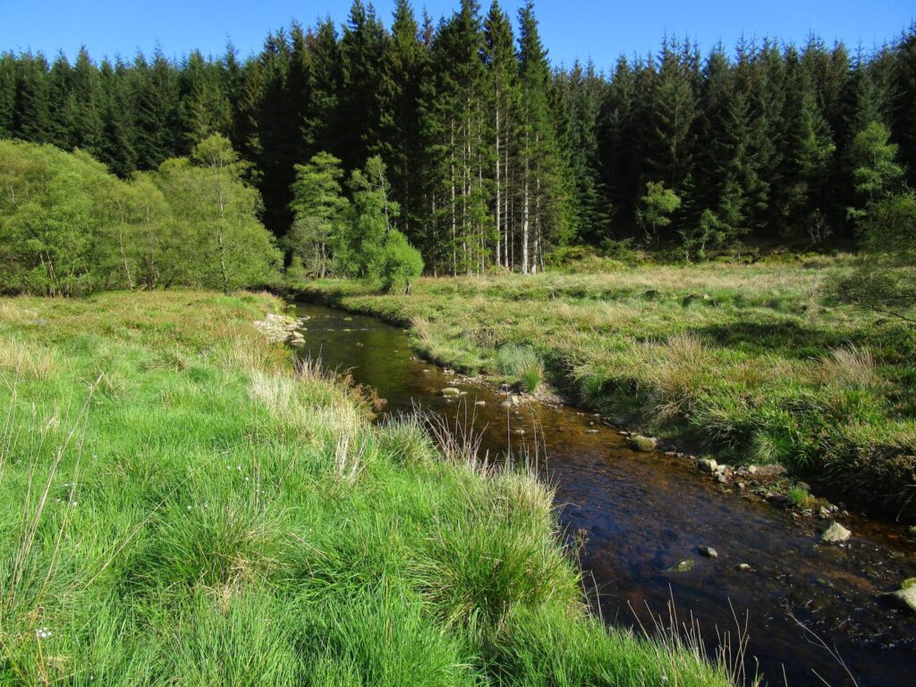
We had come to the end of our day and so we walked a little ways down from Stonehouse to where it was obvious that their property ended (fence) so we would be well out of sight, and found a fantastic stealth location for our tent next to a fast running stream called Cowie Water. We had a lovely evening tucked into the pine trees. This was Vicky’s favorite campsite of the trip.
After the initial climb into the forest the walking flattened out and it was downhill the rest of the day.
In fact I reminded Vicky that after we topped out our elevation near the wind farms it was all down hill to the sea!
She was noticeably cheered up. At the end of the day I was glad that we had come this way into the forest. It was harder yes, but it was more interesting and diverse and I think made for a better experience.
One more day!
Day 13: 15.3 miles 9 hours. 119.3 miles walked of possible 175 miles planned.
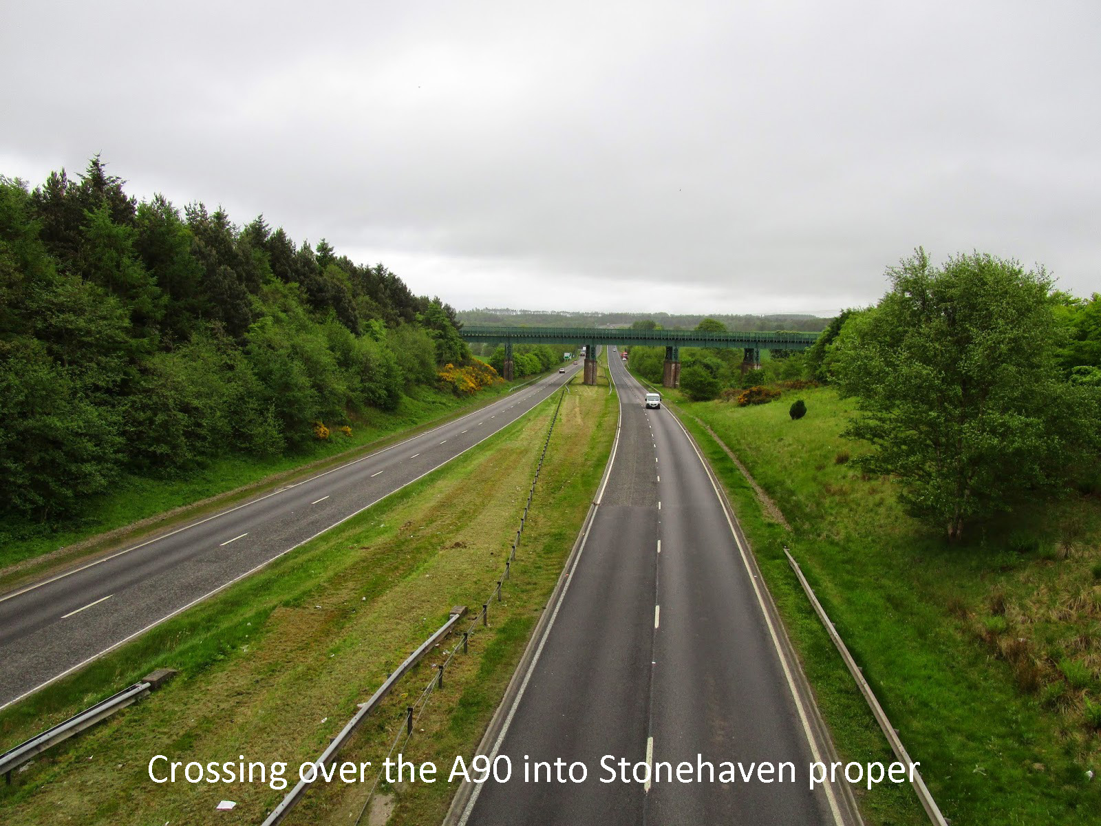
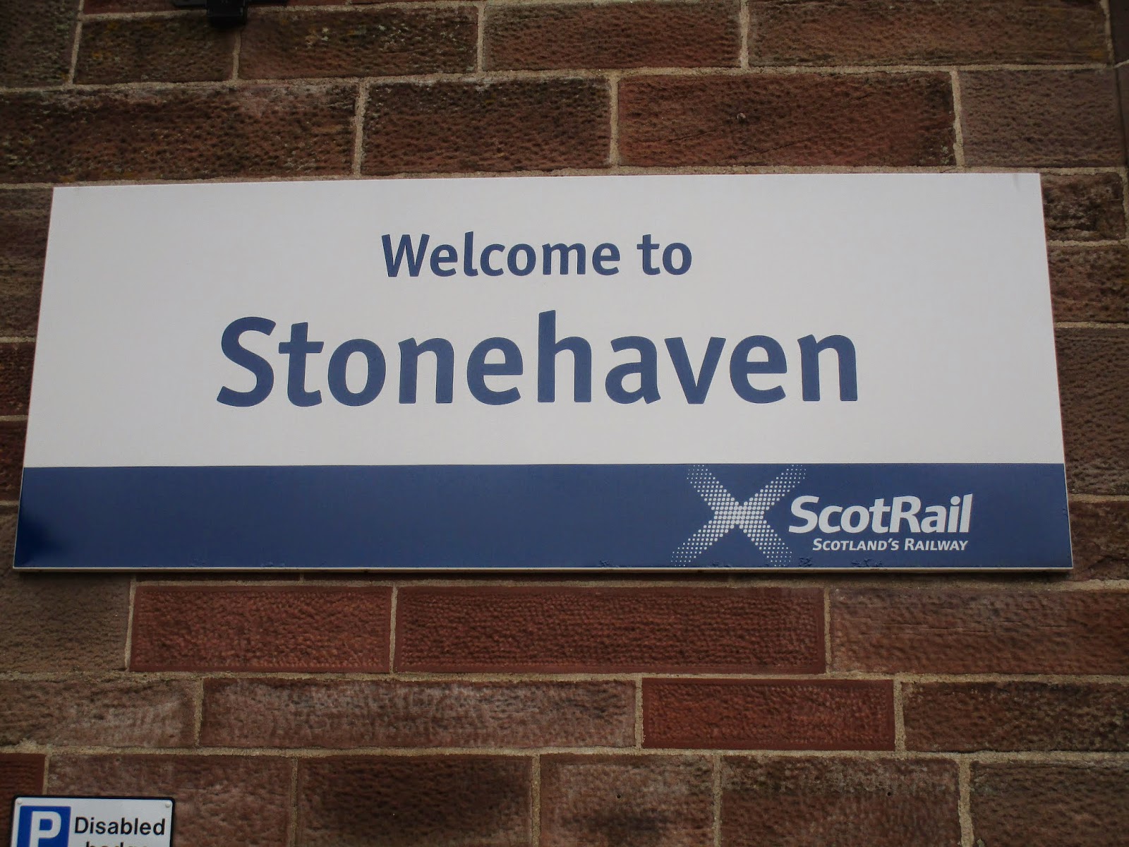
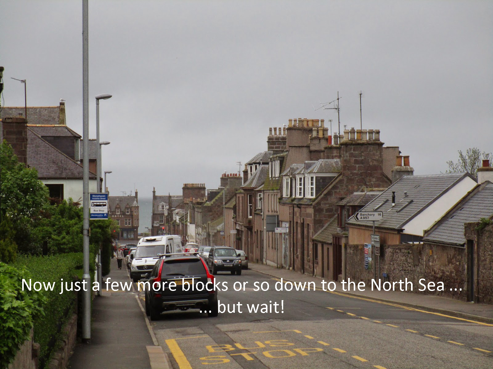
TGO Challenge 2014 Day 14 – Fetteresso Forest to Stonehaven – The Finish
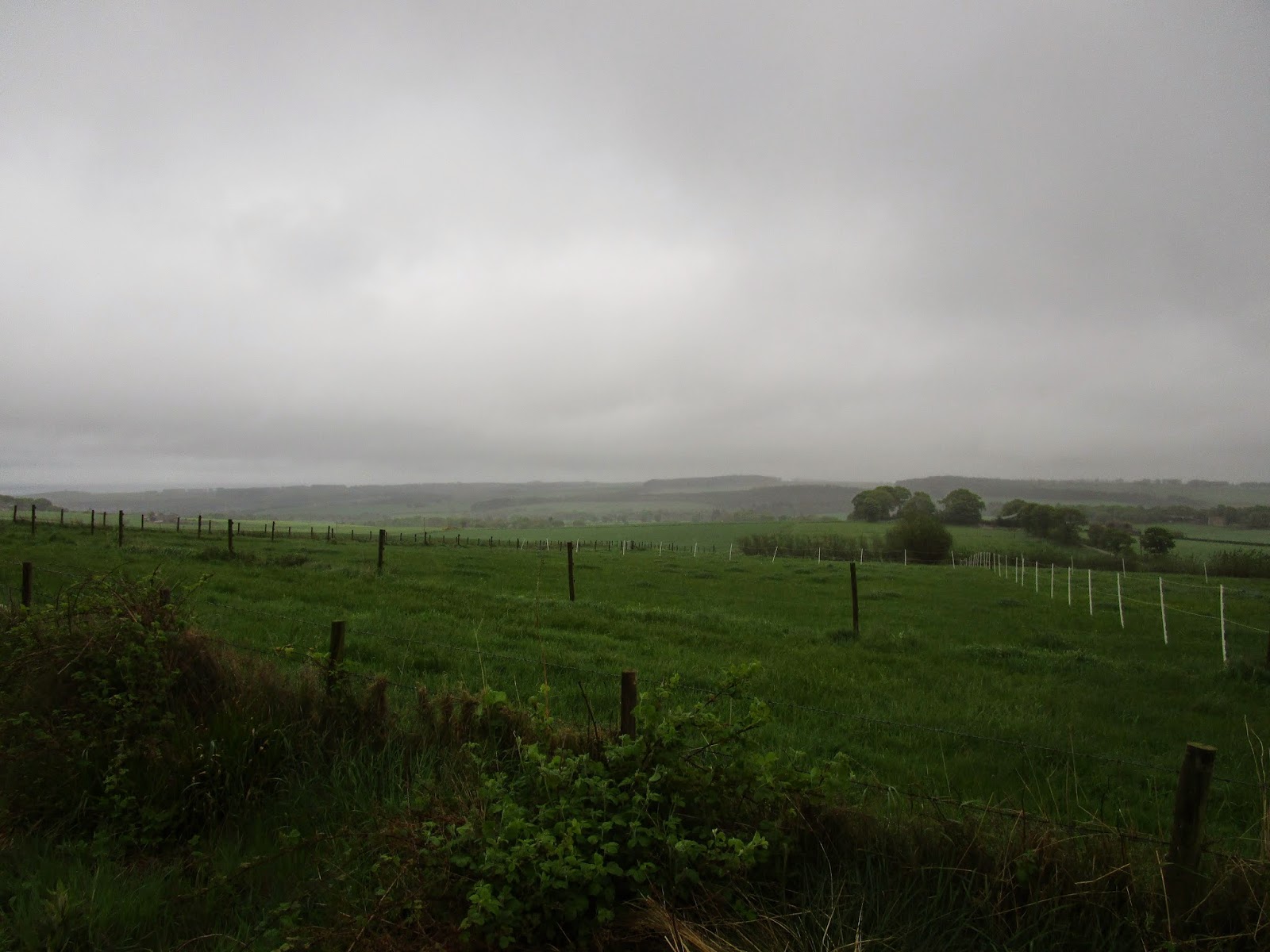
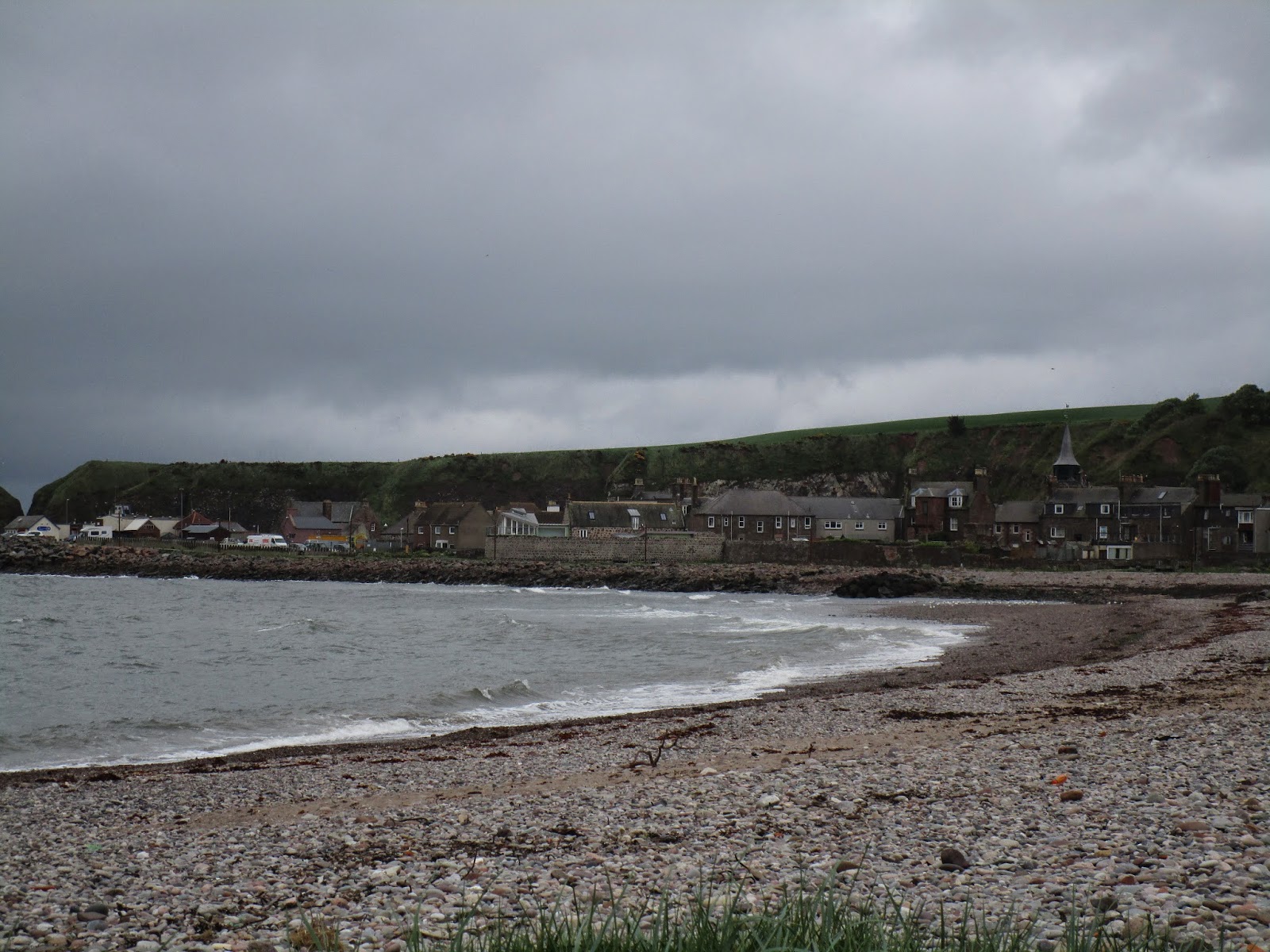
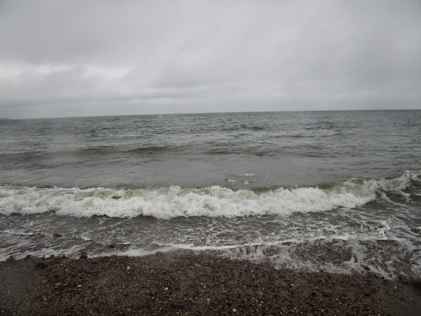
Waking up early in the forest was a treat. It was a great night tucked in the pines. It appeared like some rain this morning but the temperatures were still very pleasant. I don’t think Vicky actually believed me when I said we were only 8 miles from the North Sea as we packed up this morning.
So here is our final slide show as we head for the North Sea and the finish.
As before, just click or tap the center image, and scroll on …
CREDITS
The Trip would not have been possible or as enjoyable without the help of the following people. I know I will miss a few and for that I apologize:
In the beginning whether they knew it our not:
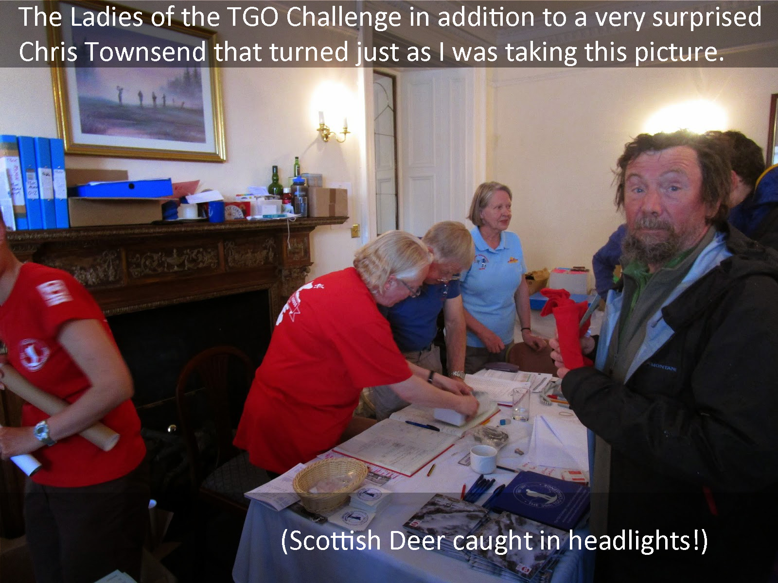
Chris Townsend, Tony Hobbs, and Bob Cartwright.- for blogs, podcasts and videos.
Before and During the Challenge:
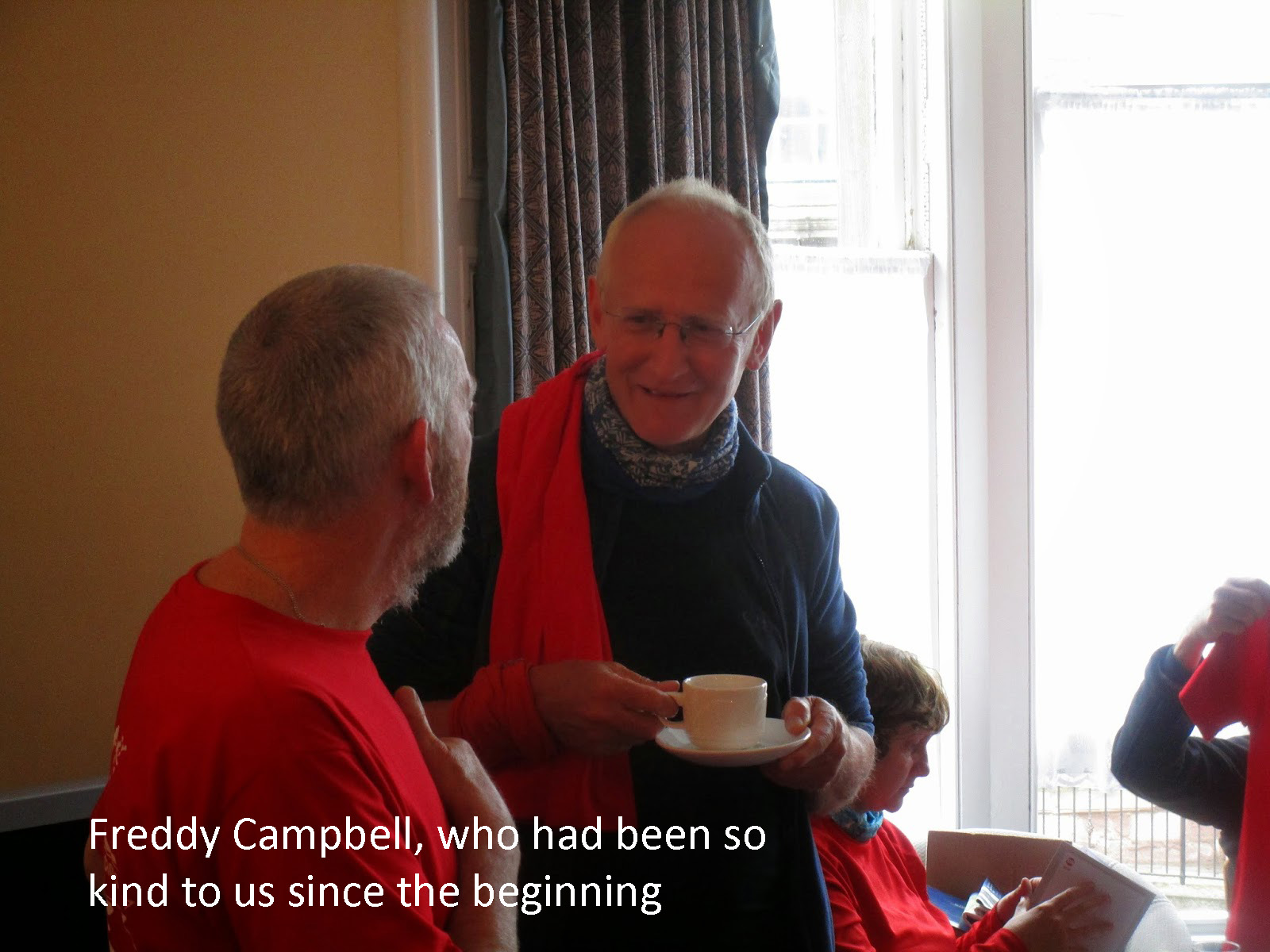
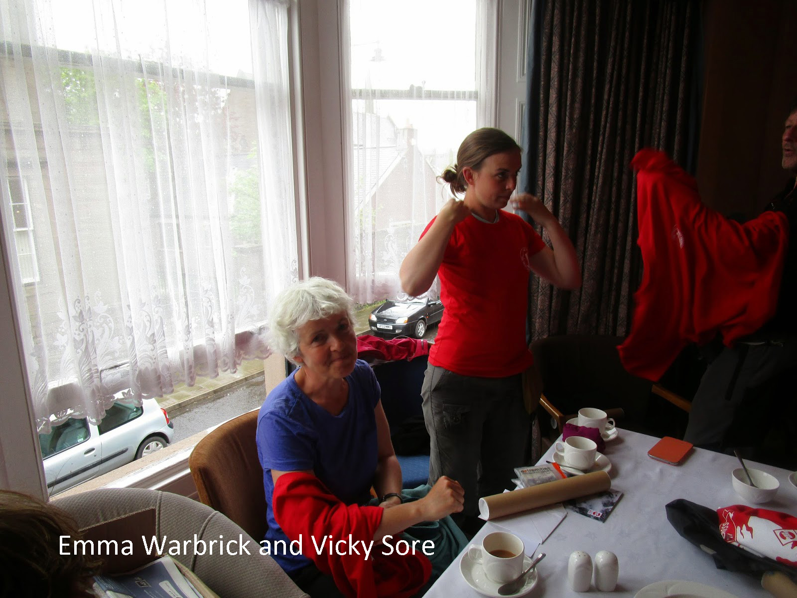
Andy Howell, our Vetter Colin Crawford, John and Mrs. Manning, Alan McDonald, Mike Gillespie, Vicky and Toby Grace, Emma Warbrick, Ian Sinclair, Peter Molenaar, Fred Campbell, Ken and Nina Stimson, Peter Kenyon, Barbara Sanders, Norma and John Keohane, Andrew Walker, Phil Lambert, Mike Armstrong, Mick Blackburn, Gayle Faulkner, Matt Favero, Joe Valesko, Paul (Owner of Abbey B&B in Ft Augustus) and a very big and special thank you to: Vicky Sore, Toby Mullins and Alan Sloman.
The one person who needs to get all the credit for making this trip possible, because I would not have done it without her; Vicky Gulley. Vicky you could not have done this trip a year ago and I am so proud of you for making the effort to be able to do the Challenge and the great success I got to share with you. Looking forward now to many more adventures in the backcountry with you.
Love you!
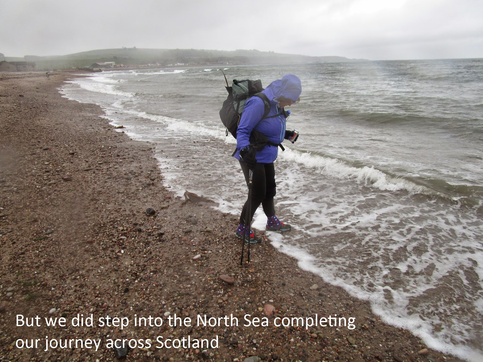
Day 14: 8 miles walked. Total 127 miles walked out of 187 planned.
Editor’s note: The final picture above is captioned 2015″?” Did they return in 2015 to battle with the Scottish bogs, hills and weather, 4,000 miles from home?
Of course they did! below, Craig & Vicky at Dornie 2015
A first Challenge is never the last!